
| Memorials | : | 0 |
| Location | : | Levee, Montgomery County, USA |
| Coordinate | : | 37.9600850, -83.9658130 |
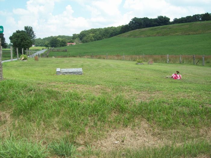
| Description | : | The cemetery is at the corner of Old Nest Egg and Nest Egg Road (which becomes Kiddville Road). It is in Montgomery County, near the county line with Clark County. The nearest town is Kiddville, Clark County. The Kiddville Community has only a church now. There used to be stores there. |
frequently asked questions (FAQ):
-
Where is Joel Elliott Cemetery?
Joel Elliott Cemetery is located at Levee, Montgomery County ,Kentucky ,USA.
-
Joel Elliott Cemetery cemetery's updated grave count on graveviews.com?
0 memorials
-
Where are the coordinates of the Joel Elliott Cemetery?
Latitude: 37.9600850
Longitude: -83.9658130
Nearby Cemetories:
1. Elliott Cemetery
Levee, Montgomery County, USA
Coordinate: 37.9600000, -83.9661110
2. Woosley Cemetery
Levee, Montgomery County, USA
Coordinate: 37.9596200, -83.9633570
3. Center Family Cemetery
Levee, Montgomery County, USA
Coordinate: 37.9505330, -83.9709870
4. Frank Anderson Farm Cemetery
Clark County, USA
Coordinate: 37.9430542, -83.9744415
5. Kidd Cemetery
Montgomery County, USA
Coordinate: 37.9683330, -83.9877780
6. Peel Family Graveyard
Kiddville, Clark County, USA
Coordinate: 37.9614890, -83.9950380
7. Hainline Cemetery
Montgomery County, USA
Coordinate: 37.9815810, -83.9497990
8. Anderson Cemetery
Levee, Montgomery County, USA
Coordinate: 37.9516670, -83.9325000
9. Kincaid and Smith Cemetery
Montgomery County, USA
Coordinate: 37.9722870, -83.9298930
10. Goff Graveyard
Clark County, USA
Coordinate: 37.9422390, -83.9995870
11. Iker Cemetery
Montgomery County, USA
Coordinate: 37.9350000, -83.9266670
12. Oldham Cemetery
Montgomery County, USA
Coordinate: 37.9891670, -83.9261110
13. Branham Cemetery
Mount Sterling, Montgomery County, USA
Coordinate: 37.9350014, -83.9216690
14. Anderson Family Cemetery
Montgomery County, USA
Coordinate: 38.0008330, -83.9455560
15. Bell Cemetery
Powell County, USA
Coordinate: 37.9141655, -83.9725037
16. Sappington Cemetery
Camargo, Montgomery County, USA
Coordinate: 37.9925000, -83.9183330
17. Gilkey Cemetery
Montgomery County, USA
Coordinate: 37.9858330, -83.9091670
18. West Cemetery
Levee, Montgomery County, USA
Coordinate: 37.9266670, -83.9155560
19. Fletcher-Garrett Cemetery
Montgomery County, USA
Coordinate: 38.0128674, -83.9738331
20. King Cemetery
Goffs Corner, Clark County, USA
Coordinate: 37.9176243, -84.0066021
21. Bethlehem Christian Church Cemetery
Clark County, USA
Coordinate: 37.9868333, -84.0251167
22. Berry Cemetery
Powell County, USA
Coordinate: 37.9066658, -83.9522247
23. Dewitt Cemetery
Powell County, USA
Coordinate: 37.9055557, -83.9580536
24. Barrow and Hoskins Cemetery
Prewitt, Montgomery County, USA
Coordinate: 38.0158330, -83.9905560