
| Memorials | : | 0 |
| Location | : | Montgomery County, USA |
| Phone | : | 959 497-1495 |
| Coordinate | : | 38.0128674, -83.9738331 |
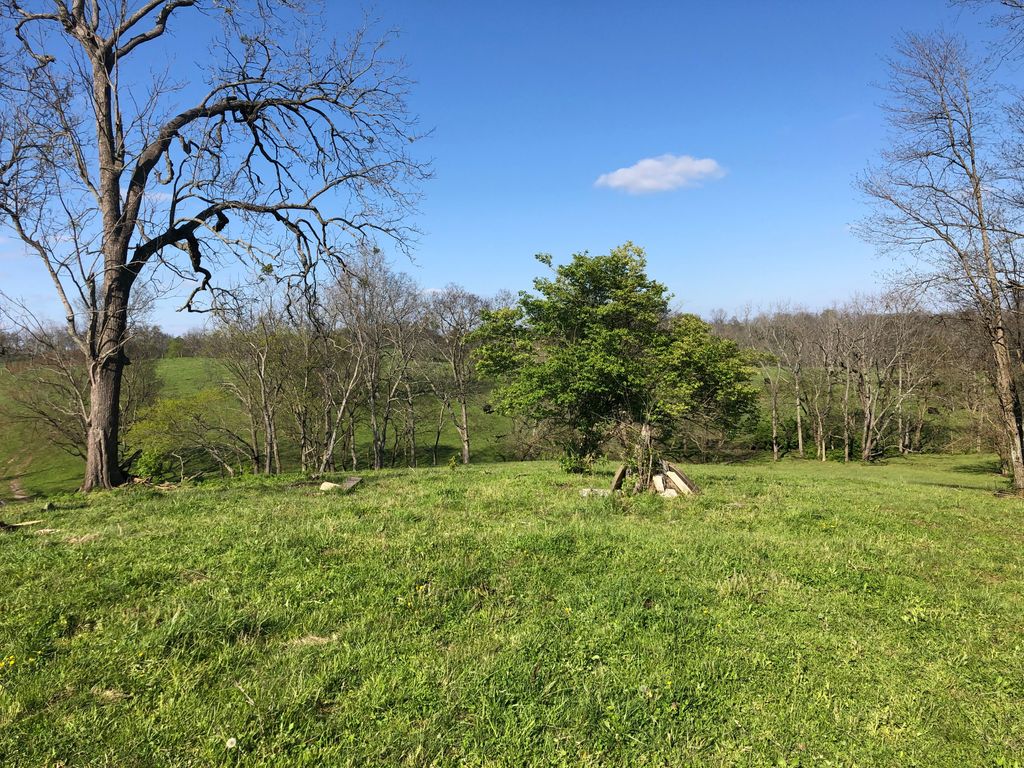
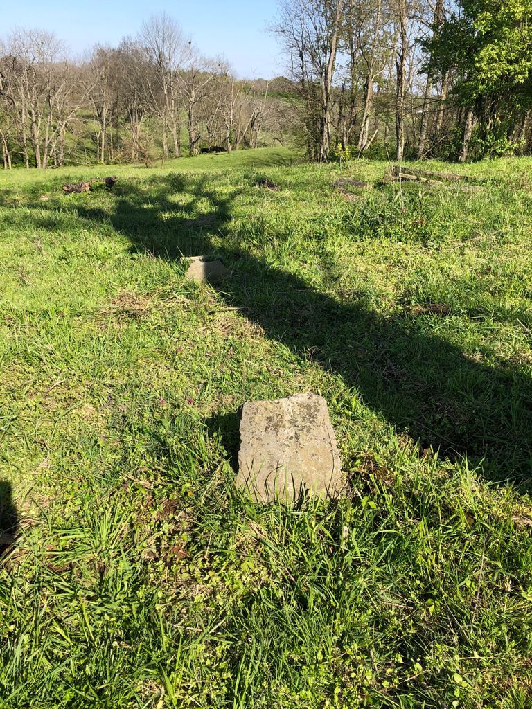
| Description | : | Unfenced farm graveyard located on a ridge north of North Fork of Lulbegrud Creek (777 Kiddville Pike) The stones are jumbled due to movement by cattle. To date 11 burials from 1819 to 1876 are identified although there are indications that more probably do exist. Those found are Fletcher and Garrett families, who intermarried. |
frequently asked questions (FAQ):
-
Where is Fletcher-Garrett Cemetery?
Fletcher-Garrett Cemetery is located at 777 Kiddville Pike Montgomery County ,Kentucky , 40353USA.
-
Fletcher-Garrett Cemetery cemetery's updated grave count on graveviews.com?
0 memorials
-
Where are the coordinates of the Fletcher-Garrett Cemetery?
Latitude: 38.0128674
Longitude: -83.9738331
Nearby Cemetories:
1. Prewitt and Combs Cemetery
Prewitt, Montgomery County, USA
Coordinate: 38.0180560, -83.9861110
2. Orear Cemetery
Montgomery County, USA
Coordinate: 38.0238890, -83.9675000
3. Barrow and Hoskins Cemetery
Prewitt, Montgomery County, USA
Coordinate: 38.0158330, -83.9905560
4. Lulbegrud Baptist Church Cemetery
Klondike, Montgomery County, USA
Coordinate: 38.0204500, -83.9892000
5. Calk Cemetery
Mount Sterling, Montgomery County, USA
Coordinate: 38.0290670, -83.9609640
6. Prewitt Cemetery
Montgomery County, USA
Coordinate: 38.0222015, -83.9981003
7. Anderson Family Cemetery
Montgomery County, USA
Coordinate: 38.0008330, -83.9455560
8. French Cemetery
Montgomery County, USA
Coordinate: 38.0289001, -84.0092010
9. Spratt and Cockrell Family Cemetery
Mount Sterling, Montgomery County, USA
Coordinate: 38.0337100, -83.9377460
10. Hainline Cemetery
Montgomery County, USA
Coordinate: 37.9815810, -83.9497990
11. Oldham Cemetery
Montgomery County, USA
Coordinate: 37.9891670, -83.9261110
12. Kidd Cemetery
Montgomery County, USA
Coordinate: 37.9683330, -83.9877780
13. Chenault Cemetery
Mount Sterling, Montgomery County, USA
Coordinate: 38.0357450, -83.9220540
14. Civil War Cemetery
Montgomery County, USA
Coordinate: 38.0561110, -83.9505560
15. Bethlehem Christian Church Cemetery
Clark County, USA
Coordinate: 37.9868333, -84.0251167
16. Sappington Cemetery
Camargo, Montgomery County, USA
Coordinate: 37.9925000, -83.9183330
17. Episcopal Church Cemetery
Mount Sterling, Montgomery County, USA
Coordinate: 38.0566670, -83.9441670
18. Estill's Defeat Cemetery
Mount Sterling, Montgomery County, USA
Coordinate: 38.0539120, -83.9376340
19. Davis Cemetery
Montgomery County, USA
Coordinate: 38.0281150, -84.0374490
20. Hedges Station Cemetery
Hedges, Clark County, USA
Coordinate: 37.9984200, -84.0380610
21. Walker Cemetery
Mount Sterling, Montgomery County, USA
Coordinate: 38.0544870, -83.9321890
22. Joel Elliott Cemetery
Levee, Montgomery County, USA
Coordinate: 37.9600850, -83.9658130
23. Elliott Cemetery
Levee, Montgomery County, USA
Coordinate: 37.9600000, -83.9661110
24. Kincaid and Smith Cemetery
Montgomery County, USA
Coordinate: 37.9722870, -83.9298930