| Memorials | : | 0 |
| Location | : | Circleville, Pickaway County, USA |
| Coordinate | : | 39.6280070, -82.8891730 |
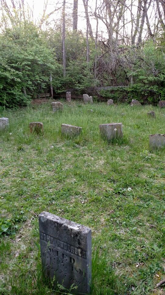
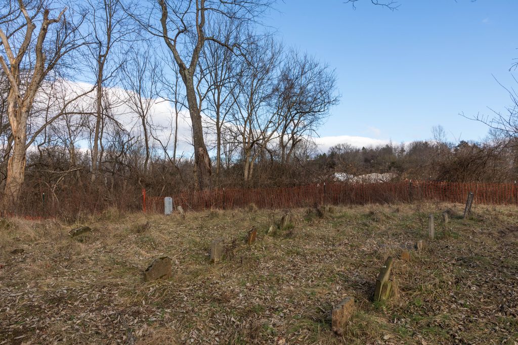
| Description | : | The cemetery is located on the property of the A.W. Marion State Park, Washington Township, Pickaway County. It is a private cemetery, maintained by the Park Service. It is southwest of the south entrance, from Warner-Huffer Rd. It is about 900 feet west of the Hargus Lake dam/shore line. There are approximately 32 grave sites of the John Anderson and John Henry Grant families. The oldest burial was in 1801, the latest in 1921. 13 of the headstones are readable. Some of the remaining headstones have partial names or dates, others are worn and unreadable.A few are broken. |
frequently asked questions (FAQ):
-
Where is John Graffis Farm Cemetery?
John Graffis Farm Cemetery is located at Warner-Huffer Rd/Washington Twp Circleville, Pickaway County ,Ohio , 43113USA.
-
John Graffis Farm Cemetery cemetery's updated grave count on graveviews.com?
0 memorials
-
Where are the coordinates of the John Graffis Farm Cemetery?
Latitude: 39.6280070
Longitude: -82.8891730
Nearby Cemetories:
1. Griffith Cemetery
Washington Township, Pickaway County, USA
Coordinate: 39.6340523, -82.8991003
2. Walter Leist Farm Cemetery
Circleville, Pickaway County, USA
Coordinate: 39.6384060, -82.8743330
3. Infirmary Cemetery
Pickaway County, USA
Coordinate: 39.6183014, -82.8675003
4. Zion Cemetery
Circleville, Pickaway County, USA
Coordinate: 39.6119003, -82.8688965
5. Bethany Cemetery
Circleville, Pickaway County, USA
Coordinate: 39.6437700, -82.8643000
6. Pontius Chapel Cemetery
Pickaway County, USA
Coordinate: 39.6009000, -82.8932300
7. McDonald Cemetery (Defunct)
Walnut Township, Pickaway County, USA
Coordinate: 39.6532470, -82.9054180
8. Wagner Farm Cemetery
Walnut, Pickaway County, USA
Coordinate: 39.6511700, -82.8674000
9. Zinser Cemetery
Circleville, Pickaway County, USA
Coordinate: 39.6513090, -82.8660930
10. Stout Family Cemetery
Washington Township, Pickaway County, USA
Coordinate: 39.6241989, -82.8439026
11. Saint Pauls Evangelical Church Cemetery
Pickaway County, USA
Coordinate: 39.5925600, -82.8718400
12. C F Brinker Farm Cemetery (Defunct)
Walnut Township, Pickaway County, USA
Coordinate: 39.6675060, -82.9038640
13. Dry Run Cemetery
Ashville, Pickaway County, USA
Coordinate: 39.6680984, -82.9036026
14. Old Lutheran Cemetery
East Ringgold, Pickaway County, USA
Coordinate: 39.6657100, -82.8619800
15. Saint Joseph's Cemetery
Circleville, Pickaway County, USA
Coordinate: 39.6180992, -82.9441986
16. Forest Cemetery
Circleville, Pickaway County, USA
Coordinate: 39.6152992, -82.9439011
17. W C Morrison Farm Cemetery (Defunct)
Walnut Township, Pickaway County, USA
Coordinate: 39.6683030, -82.9159340
18. High Street Cemetery
Circleville, Pickaway County, USA
Coordinate: 39.6027985, -82.9400024
19. Ice House Cemetery
Circleville, Pickaway County, USA
Coordinate: 39.6088510, -82.9474440
20. Doctor James Rowland Burial Site
Circleville, Pickaway County, USA
Coordinate: 39.5996100, -82.9448040
21. Evangelical Lutheran Cemetery (Defunct)
Circleville, Pickaway County, USA
Coordinate: 39.5991400, -82.9449950
22. Saint Philips Memorial Garden
Circleville, Pickaway County, USA
Coordinate: 39.5998330, -82.9471380
23. Heidelberg Reformed Church Cemetery
Stoutsville, Fairfield County, USA
Coordinate: 39.6047783, -82.8269348
24. Ritter Cemetery
East Ringgold, Pickaway County, USA
Coordinate: 39.6741982, -82.8514023


