| Memorials | : | 17 |
| Location | : | Stoutsville, Fairfield County, USA |
| Coordinate | : | 39.6047783, -82.8269348 |
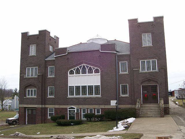
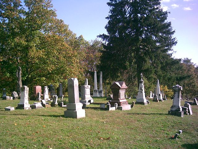
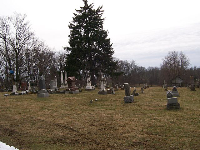
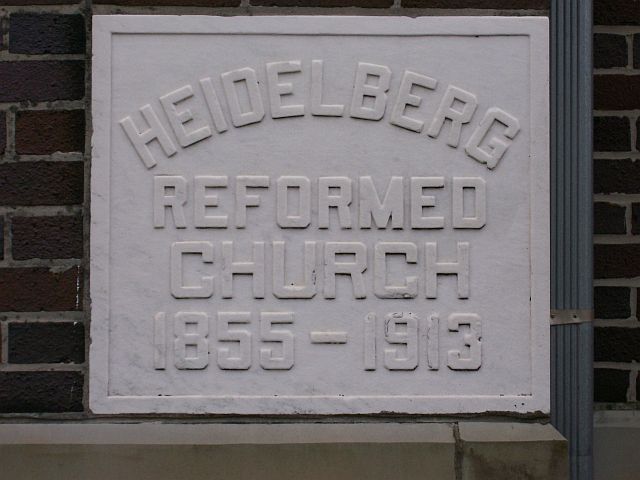
| Description | : | In the village of Stoutsville, Ohio, on the south side of Main Street (Oakland-Stoutsville Road) (CR 75) and east of Mill Street. The cemetery is located in Clear Creek Township, Fairfield County, Ohio, and is # 3132 (Stoutsville Reformed Cemetery / Heidelberg Reformed Church Cemetery) in “Ohio Cemeteries 1803-2003”, compiled by the Ohio Genealogical Society. The U.S. Geological Survey (USGS) Geographic Names Information System (GNIS) feature ID for the cemetery is 1806872 (Heidelberg Reform Cemetery / Stoutsville Reform Cemetery). |
frequently asked questions (FAQ):
-
Where is Heidelberg Reformed Church Cemetery?
Heidelberg Reformed Church Cemetery is located at Main Street Stoutsville, Fairfield County ,Ohio , 43154USA.
-
Heidelberg Reformed Church Cemetery cemetery's updated grave count on graveviews.com?
17 memorials
-
Where are the coordinates of the Heidelberg Reformed Church Cemetery?
Latitude: 39.6047783
Longitude: -82.8269348
Nearby Cemetories:
1. Maple Hill Cemetery
Stoutsville, Fairfield County, USA
Coordinate: 39.6006012, -82.8227997
2. Bunker Hill Cemetery
Stoutsville, Fairfield County, USA
Coordinate: 39.5855100, -82.8308600
3. Wolf Cemetery
Stoutsville, Fairfield County, USA
Coordinate: 39.5901600, -82.8070200
4. Stout Family Cemetery
Washington Township, Pickaway County, USA
Coordinate: 39.6241989, -82.8439026
5. Neff Cemetery
Stoutsville, Fairfield County, USA
Coordinate: 39.5821991, -82.8106003
6. Zion Cemetery
Circleville, Pickaway County, USA
Coordinate: 39.6119003, -82.8688965
7. Infirmary Cemetery
Pickaway County, USA
Coordinate: 39.6183014, -82.8675003
8. Saint Pauls Evangelical Church Cemetery
Pickaway County, USA
Coordinate: 39.5925600, -82.8718400
9. Spengler Cemetery
Stoutsville, Fairfield County, USA
Coordinate: 39.5653290, -82.8241650
10. Dresbach Cemetery
Stoutsville, Fairfield County, USA
Coordinate: 39.5608978, -82.8262863
11. Mace Cemetery
Amanda, Fairfield County, USA
Coordinate: 39.6474710, -82.7978680
12. Bethany Cemetery
Circleville, Pickaway County, USA
Coordinate: 39.6437700, -82.8643000
13. Walter Leist Farm Cemetery
Circleville, Pickaway County, USA
Coordinate: 39.6384060, -82.8743330
14. Old Dutch Hollow Cemetery
Amanda, Fairfield County, USA
Coordinate: 39.6466410, -82.7908450
15. Pontius Chapel Cemetery
Pickaway County, USA
Coordinate: 39.6009000, -82.8932300
16. Dutch Hollow Cemetery
Amanda, Fairfield County, USA
Coordinate: 39.6478004, -82.7897034
17. Old Conrad Cemetery
Amanda, Fairfield County, USA
Coordinate: 39.6153720, -82.7594120
18. John Graffis Farm Cemetery
Circleville, Pickaway County, USA
Coordinate: 39.6280070, -82.8891730
19. Conrad Cemetery
Amanda, Fairfield County, USA
Coordinate: 39.6156006, -82.7568970
20. Zinser Cemetery
Circleville, Pickaway County, USA
Coordinate: 39.6513090, -82.8660930
21. Wagner Farm Cemetery
Walnut, Pickaway County, USA
Coordinate: 39.6511700, -82.8674000
22. Tarlton United Brethren Cemetery
Stoutsville, Fairfield County, USA
Coordinate: 39.5576530, -82.7792140
23. Emanuel Mennonite Church Cemetery
Amanda, Fairfield County, USA
Coordinate: 39.6171580, -82.7471100
24. Nigh Family Cemetery
Fairfield County, USA
Coordinate: 39.6409683, -82.7604141


