
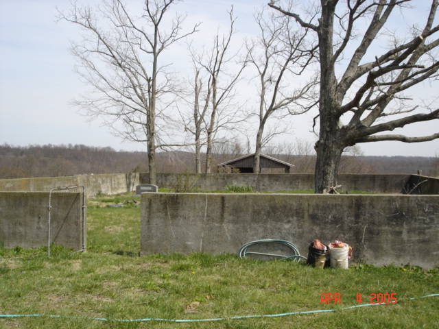
| Memorials | : | 2 |
| Location | : | Kessinger, Hart County, USA |
| Coordinate | : | 37.2773310, -85.9688760 |
frequently asked questions (FAQ):
-
Where is John Logsdon Family Cemetery?
John Logsdon Family Cemetery is located at John Logsdon Road Kessinger, Hart County ,Kentucky ,USA.
-
John Logsdon Family Cemetery cemetery's updated grave count on graveviews.com?
2 memorials
-
Where are the coordinates of the John Logsdon Family Cemetery?
Latitude: 37.2773310
Longitude: -85.9688760
Nearby Cemetories:
1. Wilkerson Temple Methodist Church Cemetery
Kessinger, Hart County, USA
Coordinate: 37.3062450, -85.9613960
2. Miller Family Cemetery
Kessinger, Hart County, USA
Coordinate: 37.3066930, -85.9605070
3. Berry Perry Cemetery
Hart County, USA
Coordinate: 37.2463450, -85.9314920
4. Glenn Cemetery
Hart County, USA
Coordinate: 37.2235500, -85.9567100
5. Little Flock Cemetery
Hart County, USA
Coordinate: 37.3321440, -85.9885710
6. Echo Mission Church Cemetery
Hart County, USA
Coordinate: 37.2200900, -85.9602780
7. Garvin Family Cemetery
Horse Cave, Hart County, USA
Coordinate: 37.2316740, -85.9221240
8. Pleasant View United Baptist Church Cemetery
Kessinger, Hart County, USA
Coordinate: 37.2171510, -85.9762440
9. Dorsey Farm Cemetery
Cub Run, Hart County, USA
Coordinate: 37.3178150, -86.0305550
10. Craddock Cemetery Old
Cub Run, Hart County, USA
Coordinate: 37.2836110, -86.0505560
11. Northtown United Baptist Church Cemetery
Horse Cave, Hart County, USA
Coordinate: 37.2165760, -86.0020980
12. Chestnut Grove Cemetery
Hart County, USA
Coordinate: 37.3189011, -85.8936005
13. Concord Baptist Church Cemetery
Bonnieville, Hart County, USA
Coordinate: 37.3432230, -85.9112350
14. Cub Run Baptist Church Cemetery
Cub Run, Hart County, USA
Coordinate: 37.3061040, -86.0633460
15. Day Family Cemetery
Cub Run, Hart County, USA
Coordinate: 37.3212469, -86.0541680
16. Dawson Cemetery
Hart County, USA
Coordinate: 37.2890300, -85.8633250
17. Denison Cemetery
Brownsville, Edmonson County, USA
Coordinate: 37.2240100, -86.0520000
18. Ream's Chapel Cemetery
Cub Run, Hart County, USA
Coordinate: 37.3201790, -86.0621796
19. White Oak Cemetery
Mammoth Cave, Edmonson County, USA
Coordinate: 37.2396690, -86.0696950
20. Cherry Springs Cemetery
Cub Run, Hart County, USA
Coordinate: 37.2697700, -86.0801610
21. Jim Bob Jaggers Cemetery
Cub Run, Hart County, USA
Coordinate: 37.3315540, -86.0576250
22. Confederate Soldier Gravesite
Horse Cave, Hart County, USA
Coordinate: 37.1939580, -85.9269860
23. Franklin Johnson Cemetery
Hart County, USA
Coordinate: 37.2030500, -86.0401800
24. Cox Cemetery
Hart County, USA
Coordinate: 37.2585983, -86.0847015