
| Memorials | : | 2 |
| Location | : | Hart County, USA |
| Coordinate | : | 37.3189011, -85.8936005 |
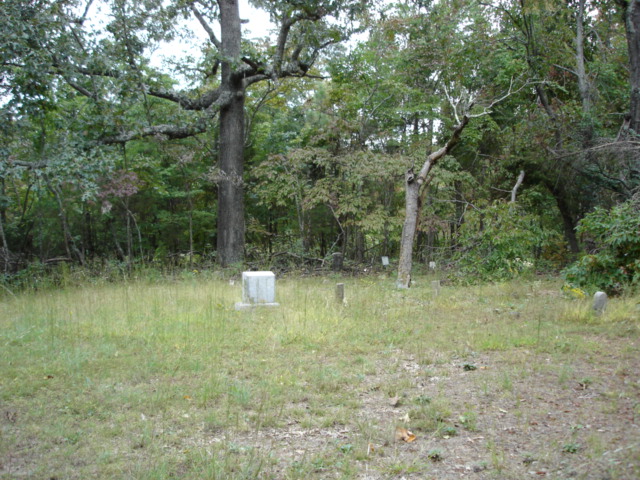
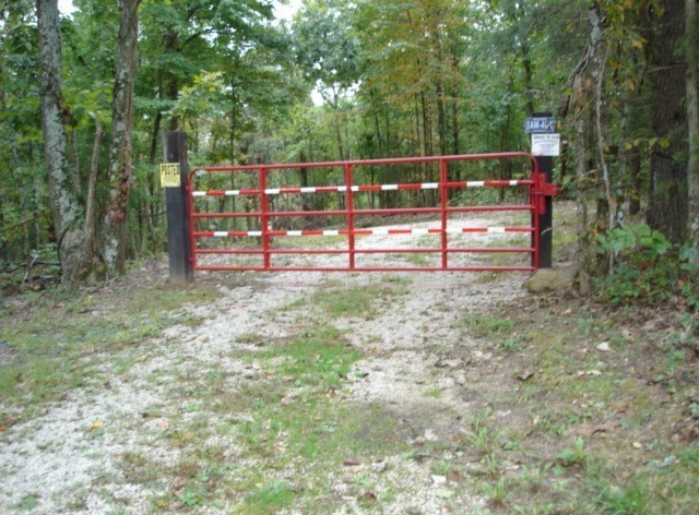
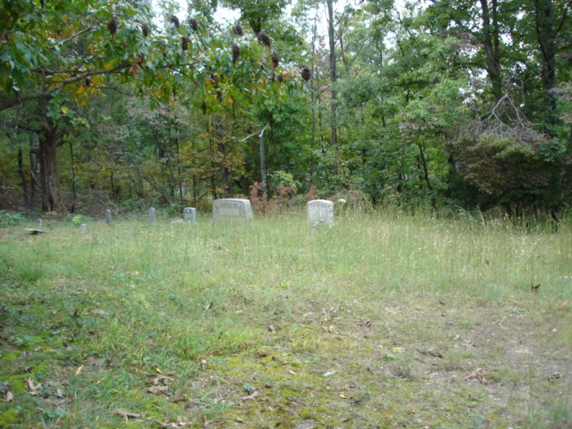
| Description | : | Location: From Hwy 31-W about 4 miles north of Munfordville at the bottom of a long hill (north side of the long hill and at the end of the 3 lane road) turn right (East) onto hwy 2756. After going under the overpass the road forks and makes a sharp right turn and then take the Chestnut Grove Cemetery Road to the cemetery. The cemetery is located on a hill across the road from the light tower and where the Chestnut Grove Church once stood. |
frequently asked questions (FAQ):
-
Where is Chestnut Grove Cemetery?
Chestnut Grove Cemetery is located at Hart County ,Kentucky ,USA.
-
Chestnut Grove Cemetery cemetery's updated grave count on graveviews.com?
2 memorials
-
Where are the coordinates of the Chestnut Grove Cemetery?
Latitude: 37.3189011
Longitude: -85.8936005
Nearby Cemetories:
1. Concord Baptist Church Cemetery
Bonnieville, Hart County, USA
Coordinate: 37.3432230, -85.9112350
2. Frenchmans Knob Church Cemetery
Bonnieville, Hart County, USA
Coordinate: 37.3511810, -85.8728740
3. Dawson Cemetery
Hart County, USA
Coordinate: 37.2890300, -85.8633250
4. John A Hodges Cemetery
Bonnieville, Hart County, USA
Coordinate: 37.3646320, -85.8791920
5. Mount Vernon Cemetery
Bonnieville, Hart County, USA
Coordinate: 37.3656490, -85.9150230
6. Bonnieville Catholic Cemetery
Bonnieville, Hart County, USA
Coordinate: 37.3704720, -85.9058850
7. Miller Family Cemetery
Kessinger, Hart County, USA
Coordinate: 37.3066930, -85.9605070
8. Wilkerson Temple Methodist Church Cemetery
Kessinger, Hart County, USA
Coordinate: 37.3062450, -85.9613960
9. Memory Park Cemetery
Bonnieville, Hart County, USA
Coordinate: 37.3820690, -85.9007380
10. Camp Ground Cemetery
Bonnieville, Hart County, USA
Coordinate: 37.3753014, -85.9417038
11. Weldon Cemetery
Bonnieville, Hart County, USA
Coordinate: 37.3835790, -85.9235330
12. John Logsdon Family Cemetery
Kessinger, Hart County, USA
Coordinate: 37.2773310, -85.9688760
13. Little Flock Cemetery
Hart County, USA
Coordinate: 37.3321440, -85.9885710
14. Quinn Cemetery
Bonnieville, Hart County, USA
Coordinate: 37.3954310, -85.9039170
15. Berry Perry Cemetery
Hart County, USA
Coordinate: 37.2463450, -85.9314920
16. Ramsey Hill Cemetery
Linwood, Hart County, USA
Coordinate: 37.3339400, -85.7870900
17. Garvin Family Cemetery
Horse Cave, Hart County, USA
Coordinate: 37.2316740, -85.9221240
18. Friendship Community Cemetery
Jonesville, Alachua County, USA
Coordinate: 37.3711298, -85.7963181
19. Jameson-Wyatt-Arnett Cemetery
Bonnieville, Hart County, USA
Coordinate: 37.4130240, -85.8964760
20. Hodge Cemetery
Hart County, USA
Coordinate: 37.4146996, -85.8553009
21. Pearl Webb Cemetery
Canmer, Hart County, USA
Coordinate: 37.2899400, -85.7708100
22. Gaddie Cemetery
Bonnieville, Hart County, USA
Coordinate: 37.4015270, -85.8163790
23. Hodges Cemetery #1
Hart County, USA
Coordinate: 37.3778710, -85.9997390
24. Cedar Cliff Cemetery
Horse Cave, Hart County, USA
Coordinate: 37.2160700, -85.8743700