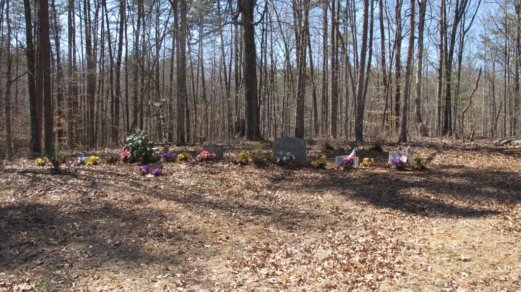
| Memorials | : | 2 |
| Location | : | Burnt Tree, Madison County, USA |
| Coordinate | : | 38.3025390, -78.1721370 |
| Description | : | This cemetery is located at the end of Slaughter Drive. It is across the road from the "End of State Maintenance" sign. |
frequently asked questions (FAQ):
-
Where is Johnson Cemetery?
Johnson Cemetery is located at Slaughter Drive (Rt. 685) Burnt Tree, Madison County ,Virginia , 22960USA.
-
Johnson Cemetery cemetery's updated grave count on graveviews.com?
2 memorials
-
Where are the coordinates of the Johnson Cemetery?
Latitude: 38.3025390
Longitude: -78.1721370
Nearby Cemetories:
1. Walkers Methodist Church Cemetery
Radiant, Madison County, USA
Coordinate: 38.2932870, -78.1680700
2. Mount Pisgah Baptist Church Cemetery
Tanners, Madison County, USA
Coordinate: 38.3072900, -78.1519200
3. Tucker Family Cemetery
Radiant, Madison County, USA
Coordinate: 38.3139180, -78.2056340
4. Madison-Taliaferro Family Cemetery
Madison Mills, Madison County, USA
Coordinate: 38.2856700, -78.1418200
5. Kemper Family Cemetery
Orange, Orange County, USA
Coordinate: 38.2742004, -78.1547012
6. Locust Grove Baptist Church Cemetery
Radiant, Madison County, USA
Coordinate: 38.2897250, -78.2140120
7. Utz - Seal - Lowry Graveyard
Aroda, Madison County, USA
Coordinate: 38.3158190, -78.2157720
8. Good Hope Baptist Church Cemetery
Radiant, Madison County, USA
Coordinate: 38.3049400, -78.2217300
9. Woodberry Forest School Columbarium
Five Forks, Madison County, USA
Coordinate: 38.2909930, -78.1229230
10. Dade - Cason - Kemper Cemetery
Orange, Orange County, USA
Coordinate: 38.2720000, -78.1367600
11. Oddenino Cemetery
Aroda, Madison County, USA
Coordinate: 38.3332300, -78.2262860
12. Hale Cemetery
Aroda, Madison County, USA
Coordinate: 38.3264180, -78.2359880
13. Locust Dale Cemetery
Locust Dale, Madison County, USA
Coordinate: 38.3451140, -78.1237920
14. Oak Grove Mennonite Church Cemetery
Aroda, Madison County, USA
Coordinate: 38.3419610, -78.2256190
15. Mount Zion United Methodist Church Cemetery
Oakpark, Madison County, USA
Coordinate: 38.3643700, -78.1704300
16. Mount Zion Baptist Church Cemetery
Oakpark, Madison County, USA
Coordinate: 38.3676610, -78.1710340
17. Main Uno Baptist Church Cemetery
Rochelle, Madison County, USA
Coordinate: 38.2634647, -78.2394486
18. Westview Cemetery
Orange, Orange County, USA
Coordinate: 38.2428017, -78.1303024
19. Graham Cemetery
Orange, Orange County, USA
Coordinate: 38.2433014, -78.1267014
20. Munday Cemetery
Orange County, USA
Coordinate: 38.2640720, -78.0973980
21. Greenfield Cemetery
Orange, Orange County, USA
Coordinate: 38.2533500, -78.1003900
22. Saint Thomas Episcopal Church Cemetery
Orange, Orange County, USA
Coordinate: 38.2437740, -78.1128630
23. Gilmore Cemetery
Orange, Orange County, USA
Coordinate: 38.2273270, -78.1801920
24. Rose Hill Cemetery
Orange County, USA
Coordinate: 38.3126370, -78.0764850

