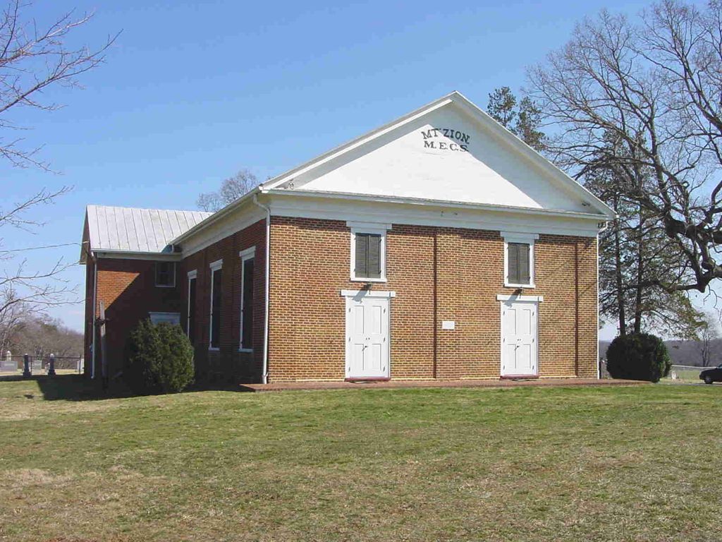
| Memorials | : | 4 |
| Location | : | Oakpark, Madison County, USA |
| Phone | : | 540-948-3471 |
| Coordinate | : | 38.3643700, -78.1704300 |
frequently asked questions (FAQ):
-
Where is Mount Zion United Methodist Church Cemetery?
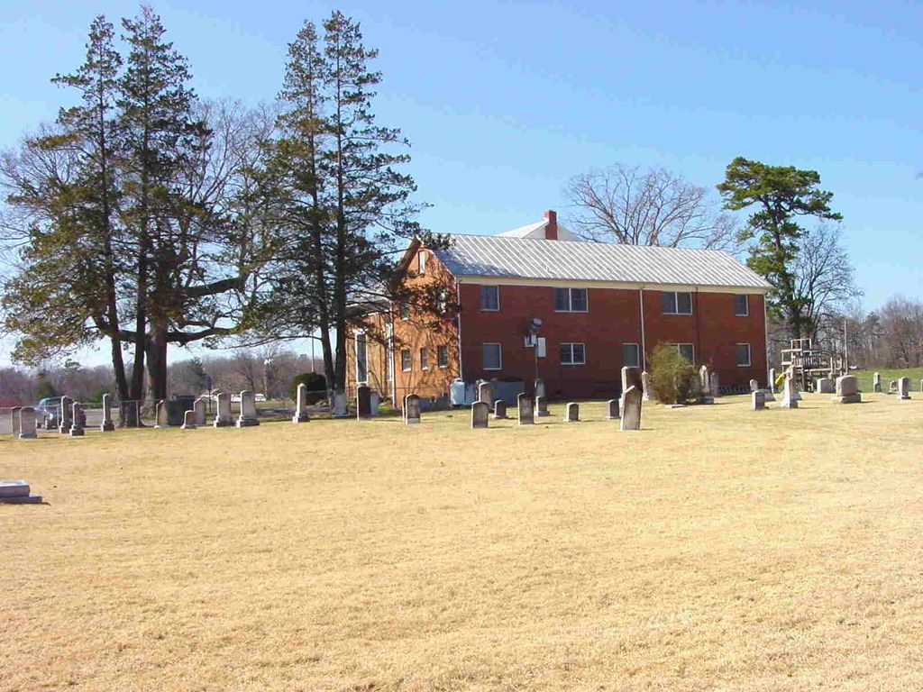
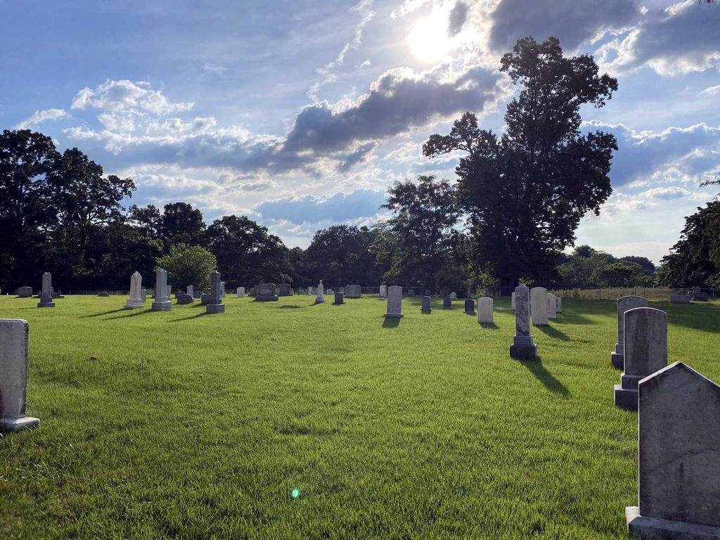
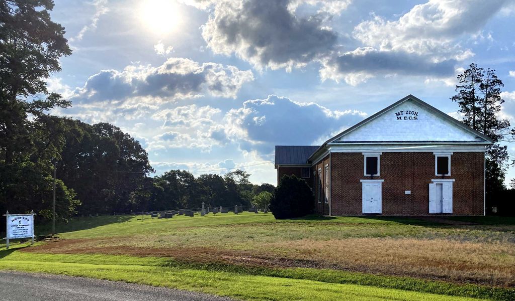
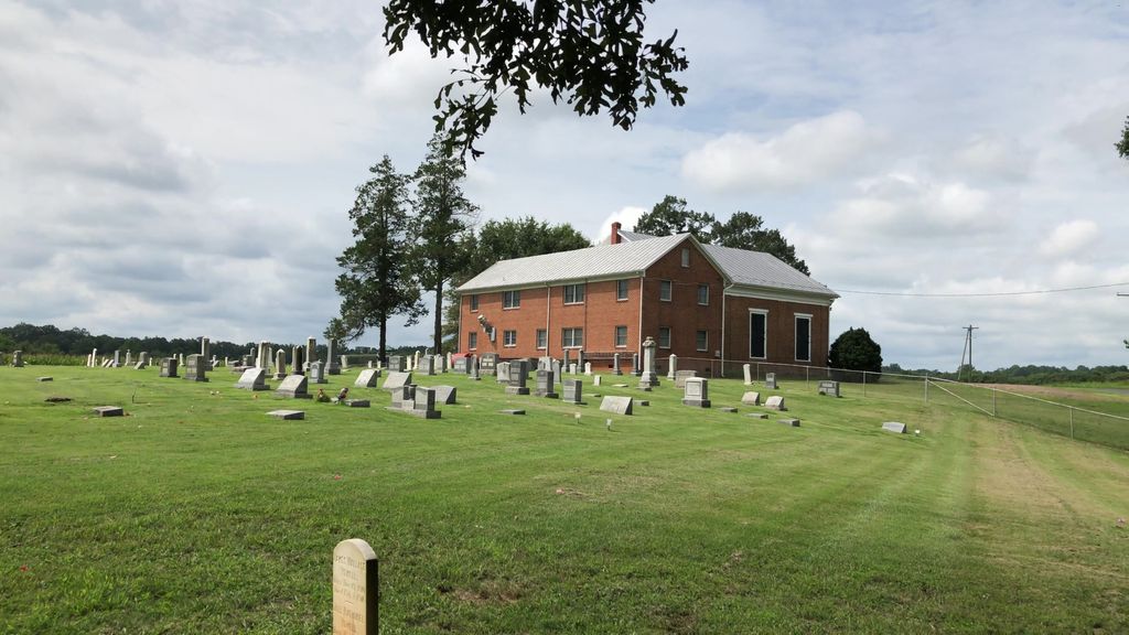
Mount Zion United Methodist Church Cemetery is located at 2394 Mount Zion Church Road (Rt. 635) Oakpark, Madison County ,Virginia , 22730USA.
-
Mount Zion United Methodist Church Cemetery cemetery's updated grave count on graveviews.com?
4 memorials
-
Where are the coordinates of the Mount Zion United Methodist Church Cemetery?
Latitude: 38.3643700
Longitude: -78.1704300
Nearby Cemetories:
1. Mount Zion Baptist Church Cemetery
Oakpark, Madison County, USA
Coordinate: 38.3676610, -78.1710340
2. Beahm Family Cemetery
Oakpark, Madison County, USA
Coordinate: 38.3919400, -78.1580600
3. Shepherd Family Cemetery
Madison, Madison County, USA
Coordinate: 38.3780840, -78.2087520
4. Weaver Family Cemetery
Brightwood, Madison County, USA
Coordinate: 38.3946960, -78.1998770
5. Church of the Brethren Cemetery
Brightwood, Madison County, USA
Coordinate: 38.3913080, -78.2048460
6. Locust Dale Cemetery
Locust Dale, Madison County, USA
Coordinate: 38.3451140, -78.1237920
7. Aylor Family Cemetery
Brightwood, Madison County, USA
Coordinate: 38.4024530, -78.1976280
8. Thoroughfare Community Chapel Cemetery
Madison County, USA
Coordinate: 38.4047012, -78.1391983
9. Oak Grove Mennonite Church Cemetery
Aroda, Madison County, USA
Coordinate: 38.3419610, -78.2256190
10. Crooked Run Baptist Church Cemetery
Rapidan, Culpeper County, USA
Coordinate: 38.3629140, -78.1073150
11. White Oak Run Baptist Church Cemetery
Rapidan, Culpeper County, USA
Coordinate: 38.3652800, -78.1062600
12. Oddenino Cemetery
Aroda, Madison County, USA
Coordinate: 38.3332300, -78.2262860
13. Ford-Aylor Cemetery
Madison County, USA
Coordinate: 38.4006320, -78.1141300
14. Tucker Family Cemetery
Radiant, Madison County, USA
Coordinate: 38.3139180, -78.2056340
15. Ford Family Cemetery
Leon, Madison County, USA
Coordinate: 38.4032920, -78.1154440
16. Robinson River Primitive Baptist Church Cemetery
Brightwood, Madison County, USA
Coordinate: 38.4177170, -78.2000280
17. Mount Pisgah Baptist Church Cemetery
Tanners, Madison County, USA
Coordinate: 38.3072900, -78.1519200
18. Utz - Seal - Lowry Graveyard
Aroda, Madison County, USA
Coordinate: 38.3158190, -78.2157720
19. Madison Presbyterian Church Columbarium
Madison, Madison County, USA
Coordinate: 38.3897750, -78.2408430
20. Johnson Cemetery
Burnt Tree, Madison County, USA
Coordinate: 38.3025390, -78.1721370
21. Chestnut Grove Baptist Church Cemetery
Brightwood, Madison County, USA
Coordinate: 38.4251700, -78.1865400
22. Singleton Family Cemetery
Brightwood, Madison County, USA
Coordinate: 38.4266322, -78.1719344
23. Hale Cemetery
Aroda, Madison County, USA
Coordinate: 38.3264180, -78.2359880
24. Bethsaida United Methodist Church Cemetery
Brightwood, Madison County, USA
Coordinate: 38.4290580, -78.1838360

