| Memorials | : | 5 |
| Location | : | Denmark, Madison County, USA |
| Coordinate | : | 35.6153070, -89.0334440 |
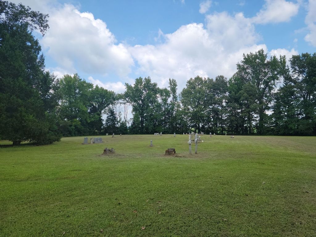
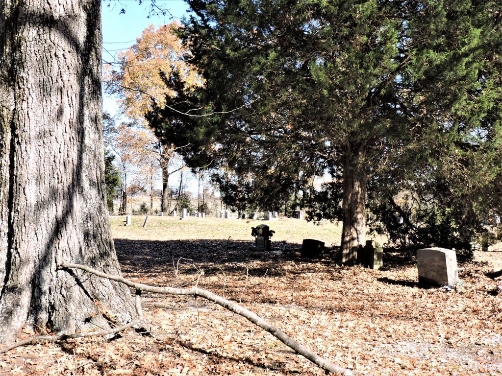
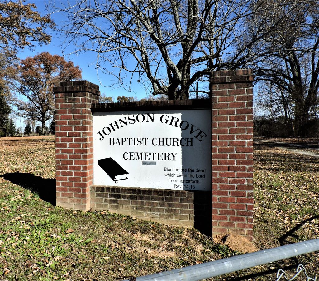
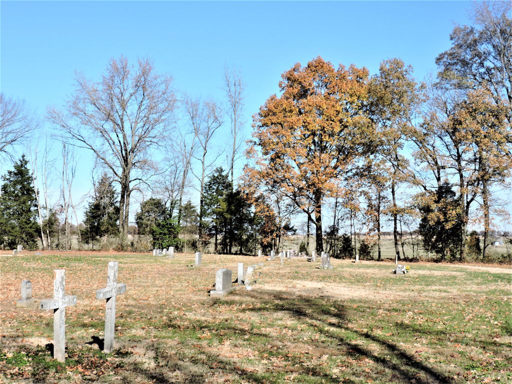
| Description | : | From the Providence U.M. Church on Lower Brownsville Rd., travel east on Lower Brownsville Rd. for 0.1 mi., turning south (right) onto Providence Rd., going 1.9 mi., turning southeast (right) onto Searcy Taylor Rd., going 1.1 mi., turning east (right) onto Wellwood Rd., going 0.5 mi., turning northeast into the driveway of the cemetery. Johnson Grove Cemetery is located on Wellwood Road at the former location of Johnson Grove Missionary Baptist Church. The church relocated in 1995. The cemetery is generally is well maintained, but in 2003 kudzu had crossed the eastern fence and was approaching a cluster... Read More |
frequently asked questions (FAQ):
-
Where is Johnson Grove Church Cemetery?
Johnson Grove Church Cemetery is located at 560 Wellwood Road Denmark, Madison County ,Tennessee ,USA.
-
Johnson Grove Church Cemetery cemetery's updated grave count on graveviews.com?
5 memorials
-
Where are the coordinates of the Johnson Grove Church Cemetery?
Latitude: 35.6153070
Longitude: -89.0334440
Nearby Cemetories:
1. Ingram Cemetery
Denmark, Madison County, USA
Coordinate: 35.6126430, -89.0379870
2. Hawkins-Hess Cemetery
Madison County, USA
Coordinate: 35.5950012, -89.0550003
3. Crittenden Cemetery
Denmark, Madison County, USA
Coordinate: 35.5963120, -89.0091190
4. Chapman Family Cemetery
Huntersville, Madison County, USA
Coordinate: 35.5887640, -89.0443390
5. Deliverance House of Prayer Memorial Gardens
Denmark, Madison County, USA
Coordinate: 35.6092790, -88.9939760
6. Lane Chapel Church Cemetery
Jackson, Madison County, USA
Coordinate: 35.6140870, -88.9930280
7. Fort Burial Ground
Madison County, USA
Coordinate: 35.5835133, -89.0543076
8. Springfield Family Cemetery
Denmark, Madison County, USA
Coordinate: 35.5781720, -89.0174420
9. Saint John Baptist Church Cemetery #2
Denmark, Madison County, USA
Coordinate: 35.5730570, -89.0374420
10. Providence Cemetery
Providence, Madison County, USA
Coordinate: 35.6497340, -89.0665320
11. Bethlehem M.B. Church Cemetery #2
Jackson, Madison County, USA
Coordinate: 35.6456740, -88.9942610
12. Andrews Chapel United Methodist Church Cemetery
Huntersville, Madison County, USA
Coordinate: 35.6128500, -88.9742900
13. Cane Creek MB Church Cemetery
Haywood County, USA
Coordinate: 35.6030360, -89.0963250
14. Ararat Baptist Church Cemetery
Huntersville, Madison County, USA
Coordinate: 35.6117590, -88.9658580
15. Powell Cemetery
Wellwood, Haywood County, USA
Coordinate: 35.6249100, -89.1085960
16. Forrest Cemetery
Madison County, USA
Coordinate: 35.5583200, -89.0751000
17. Bond Cemetery
Madison County, USA
Coordinate: 35.5483017, -89.0330963
18. Lacy Cemetery
Madison County, USA
Coordinate: 35.6768990, -88.9891968
19. Drake Cemetery
Willow Grove, Haywood County, USA
Coordinate: 35.5848040, -89.1135900
20. Forrest Family Cemetery
Woodland, Haywood County, USA
Coordinate: 35.5513992, -89.0753021
21. Woodland Cemetery
Woodland, Haywood County, USA
Coordinate: 35.5628320, -89.0955120
22. Lawrence Cemetery
Roberts, Madison County, USA
Coordinate: 35.6763992, -88.9777985
23. Brown Creek Cemetery
Woodland, Haywood County, USA
Coordinate: 35.5550000, -89.1008300
24. Luckenbill Cemetery
Bells, Crockett County, USA
Coordinate: 35.6970060, -89.0337550


