| Memorials | : | 5 |
| Location | : | Easton, Buchanan County, USA |
| Coordinate | : | 39.7411919, -94.6044006 |
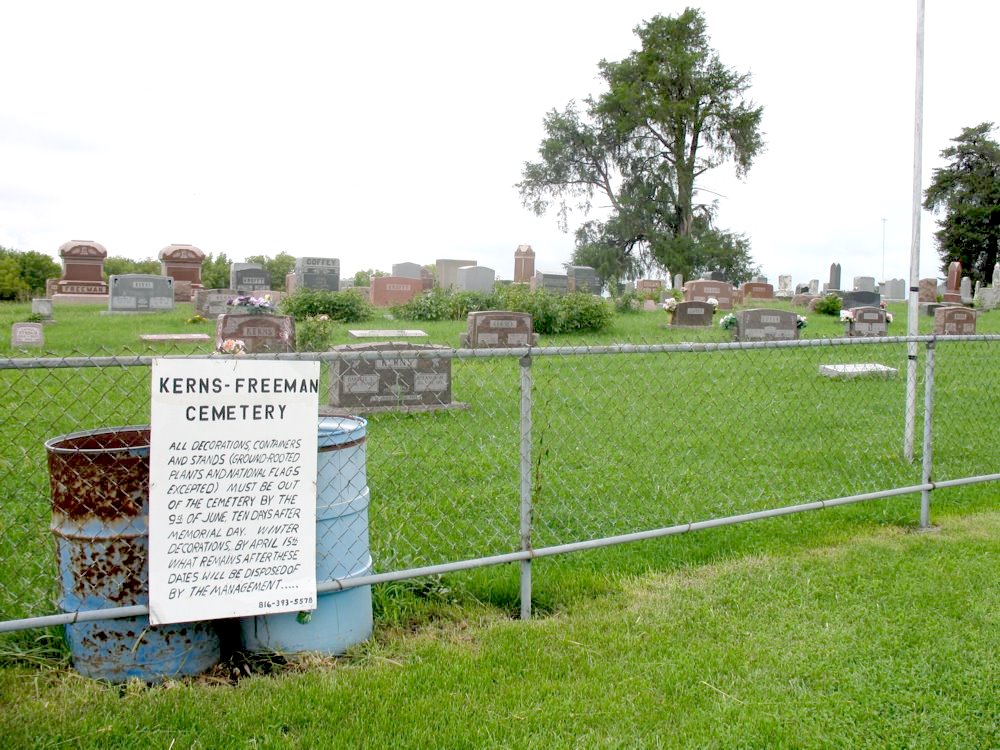
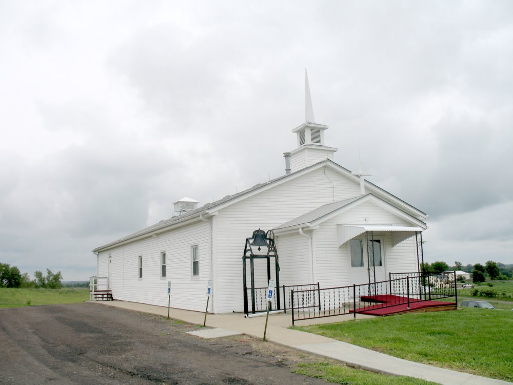
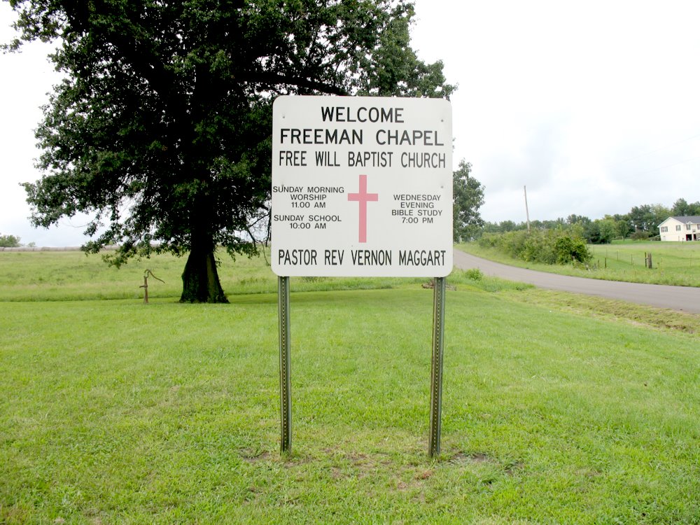
| Description | : | 8/11/11: The address is not Easton, MO, but Hemple, MO. There is actually no post office at Hemple anymore, our mail goes to Stewartsville, but legally we are able to use the Hemple address as long as we use the 64490 zip. Even though Kerns-Freeman Cemetery is located adjacent to Freeman Chapel Church, they are two separate entities. People who don't know may call it Freeman Chapel Cemetery, but that is incorrect. Kerns-Freeman Cemetery sits approximately an equal distance between Hemple and Easton, but ask any local and they will tell you it is at Hemple,... Read More |
frequently asked questions (FAQ):
-
Where is Kerns-Freeman Cemetery?
Kerns-Freeman Cemetery is located at Easton, Buchanan County ,Missouri , 64490USA.
-
Kerns-Freeman Cemetery cemetery's updated grave count on graveviews.com?
5 memorials
-
Where are the coordinates of the Kerns-Freeman Cemetery?
Latitude: 39.7411919
Longitude: -94.6044006
Nearby Cemetories:
1. Antle Cemetery
Buchanan County, USA
Coordinate: 39.7576450, -94.6181790
2. Cumberland Presbyterian Church Cemetery
Hemple, Clinton County, USA
Coordinate: 39.7432518, -94.5774612
3. Saint Joseph Cemetery Old
Easton, Buchanan County, USA
Coordinate: 39.7372017, -94.6363983
4. Saint Josephs Cemetery
Easton, Buchanan County, USA
Coordinate: 39.7291985, -94.6406021
5. Todd Cemetery
Clarksdale, DeKalb County, USA
Coordinate: 39.7752991, -94.5774994
6. Thornton Cemetery
Clarksdale, DeKalb County, USA
Coordinate: 39.7846985, -94.5978012
7. Moxley Cemetery
Easton, Buchanan County, USA
Coordinate: 39.7164001, -94.6532974
8. Bowen Cemetery
Boyers Settlement, Buchanan County, USA
Coordinate: 39.7809900, -94.6509900
9. Saint Marys Cemetery
Hurlingen, Buchanan County, USA
Coordinate: 39.7971992, -94.6303024
10. Minor Cemetery
Buchanan County, USA
Coordinate: 39.7532997, -94.6825027
11. Keller Cemetery
Hemple, Clinton County, USA
Coordinate: 39.6869011, -94.5428009
12. Blakely Cemetery
Easton, Buchanan County, USA
Coordinate: 39.7407990, -94.7031021
13. New Harmony Cemetery
Buchanan County, USA
Coordinate: 39.6650009, -94.6074982
14. Stone Cemetery
Clarksdale, DeKalb County, USA
Coordinate: 39.8163986, -94.5686035
15. DeKalb Cemetery
Stewartsville, DeKalb County, USA
Coordinate: 39.7839012, -94.5089035
16. Clarksdale Cemetery
Clarksdale, DeKalb County, USA
Coordinate: 39.8227997, -94.5697021
17. Stewartsville Cemetery
Stewartsville, DeKalb County, USA
Coordinate: 39.7480011, -94.4920578
18. Courtney Cemetery
Buchanan County, USA
Coordinate: 39.7722015, -94.7136002
19. Silver Cemetery
Clarksdale, DeKalb County, USA
Coordinate: 39.8133011, -94.5335999
20. Elder Cemetery
Garrettsburg, Buchanan County, USA
Coordinate: 39.6711000, -94.6858000
21. Old School Presbyterian Cemetery
Clinton County, USA
Coordinate: 39.7472000, -94.4792023
22. Zion United Methodist Cemetery
Cosby, Andrew County, USA
Coordinate: 39.8342600, -94.6541200
23. Lebanon Church Cemetery
Starfield, Clinton County, USA
Coordinate: 39.6816711, -94.4936066
24. Maple Grove Cemetery
Stewartsville, DeKalb County, USA
Coordinate: 39.8060188, -94.4898224


