
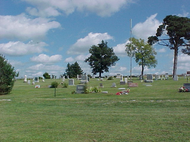
| Memorials | : | 5 |
| Location | : | Clinton County, USA |
| Coordinate | : | 39.7472000, -94.4792023 |
frequently asked questions (FAQ):
-
Where is Old School Presbyterian Cemetery?
Old School Presbyterian Cemetery is located at Clinton County ,Missouri ,USA.
-
Old School Presbyterian Cemetery cemetery's updated grave count on graveviews.com?
5 memorials
-
Where are the coordinates of the Old School Presbyterian Cemetery?
Latitude: 39.7472000
Longitude: -94.4792023

Nearby Cemetories:
1. Stewartsville Cemetery
Stewartsville, DeKalb County, USA
Coordinate: 39.7480011, -94.4920578
2. DeKalb Cemetery
Stewartsville, DeKalb County, USA
Coordinate: 39.7839012, -94.5089035
3. Maple Grove Cemetery
Stewartsville, DeKalb County, USA
Coordinate: 39.8060188, -94.4898224
4. Lebanon Church Cemetery
Starfield, Clinton County, USA
Coordinate: 39.6816711, -94.4936066
5. Pleasant Grove Cemetery
Clarksdale, DeKalb County, USA
Coordinate: 39.8208008, -94.5006027
6. Cumberland Presbyterian Church Cemetery
Hemple, Clinton County, USA
Coordinate: 39.7432518, -94.5774612
7. Keller Cemetery
Hemple, Clinton County, USA
Coordinate: 39.6869011, -94.5428009
8. Silver Cemetery
Clarksdale, DeKalb County, USA
Coordinate: 39.8133011, -94.5335999
9. Todd Cemetery
Clarksdale, DeKalb County, USA
Coordinate: 39.7752991, -94.5774994
10. Ridgeville Cemetery
Amity, DeKalb County, USA
Coordinate: 39.8201103, -94.4338837
11. Poage Cemetery
Maysville, DeKalb County, USA
Coordinate: 39.8000960, -94.3812690
12. Osborn Evergreen Cemetery
Osborn, Clinton County, USA
Coordinate: 39.7433014, -94.3555984
13. Kerns-Freeman Cemetery
Easton, Buchanan County, USA
Coordinate: 39.7411919, -94.6044006
14. Stone Cemetery
Clarksdale, DeKalb County, USA
Coordinate: 39.8163986, -94.5686035
15. Thornton Cemetery
Clarksdale, DeKalb County, USA
Coordinate: 39.7846985, -94.5978012
16. Clarksdale Cemetery
Clarksdale, DeKalb County, USA
Coordinate: 39.8227997, -94.5697021
17. Perrin Cemetery
Perrin, Clinton County, USA
Coordinate: 39.6590805, -94.4028168
18. Antle Cemetery
Buchanan County, USA
Coordinate: 39.7576450, -94.6181790
19. Smith Cemetery
Maysville, DeKalb County, USA
Coordinate: 39.8172510, -94.3676540
20. Mount Zion Baptist Cemetery
Starfield, Clinton County, USA
Coordinate: 39.6381493, -94.5121231
21. Smith Fork Church Cemetery
Clinton County, USA
Coordinate: 39.6741600, -94.3613300
22. Amity Cemetery
Amity, DeKalb County, USA
Coordinate: 39.8594017, -94.4338989
23. Saint Joseph Cemetery Old
Easton, Buchanan County, USA
Coordinate: 39.7372017, -94.6363983
24. Saint Josephs Cemetery
Easton, Buchanan County, USA
Coordinate: 39.7291985, -94.6406021