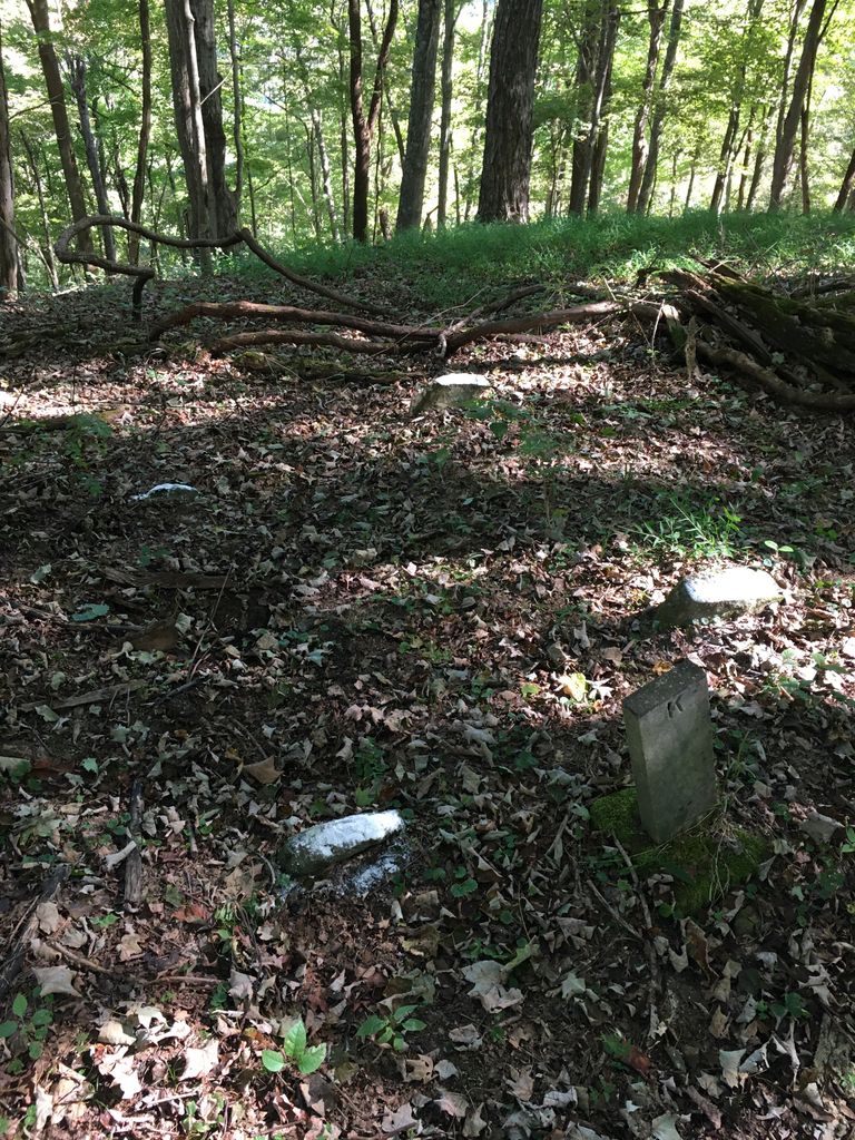
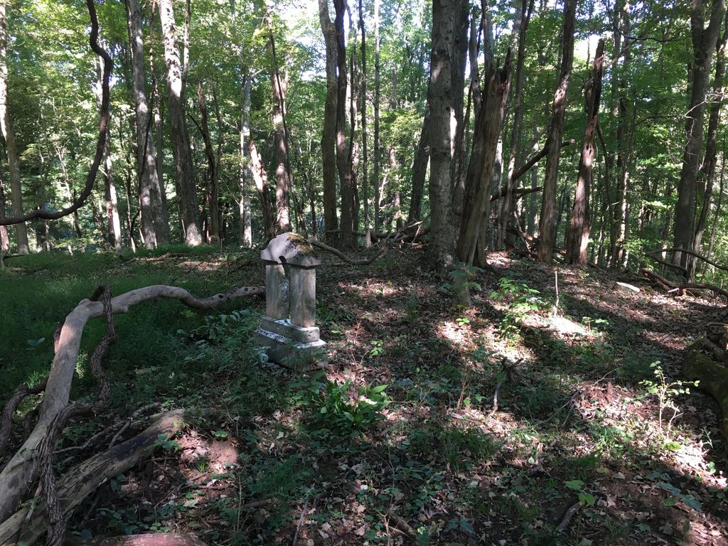
| Memorials | : | 1 |
| Location | : | Sand Fork, Gilmer County, USA |
| Coordinate | : | 38.9169640, -80.7249834 |
| Description | : | The Killingsworth Cemetery is located on a ridge on the Jedamski farm on Sand Fork. It can be accessed by driving 0.9 miles up Sand Fork Rd and pulling up a driveway to the right to the Jedamski home and asking permission to hike behind the house, or driving up Joes Run Road to Hackers Run Road, and continuing up Hackers and continuing 1.1 miles up and making a right up the hill. You can ridge a four wheeler or side by side all the way to it using this method. |
frequently asked questions (FAQ):
-
Where is Killingsworth Cemetery?
Killingsworth Cemetery is located at Sand Fork Rd Sand Fork, Gilmer County ,West Virginia ,USA.
-
Killingsworth Cemetery cemetery's updated grave count on graveviews.com?
1 memorials
-
Where are the coordinates of the Killingsworth Cemetery?
Latitude: 38.9169640
Longitude: -80.7249834
Nearby Cemetories:
1. Varner Cemetery
Sand Fork, Gilmer County, USA
Coordinate: 38.9254709, -80.7212012
2. Sand Fork Cemetery
Gilmer County, USA
Coordinate: 38.9158890, -80.7480520
3. Dyer Cemetery
Gilmer County, USA
Coordinate: 38.9319000, -80.7110977
4. McHenry Cemetery
Gilmer County, USA
Coordinate: 38.9341870, -80.7130200
5. McHenry Cemetery #1
Sand Fork, Gilmer County, USA
Coordinate: 38.9353310, -80.7162630
6. Conrad Cemetery
Sand Fork, Gilmer County, USA
Coordinate: 38.9364014, -80.7296982
7. Dusk Camp United Methodist Church Cemetery
Gilmer County, USA
Coordinate: 38.8961140, -80.7325440
8. Smith Cemetery
Stouts Mills, Gilmer County, USA
Coordinate: 38.8901800, -80.7333800
9. Snyder Cemetery
Gilmer County, USA
Coordinate: 38.9006004, -80.6964035
10. Isaac B. Garrett Burial Site
Sand Fork, Gilmer County, USA
Coordinate: 38.8934000, -80.7443200
11. Canfield Cemetery
Gilmer, Gilmer County, USA
Coordinate: 38.9071999, -80.6900024
12. Conrad Cemetery
Stouts Mills, Gilmer County, USA
Coordinate: 38.8869019, -80.7264023
13. Stout Cemetery
Stouts Mills, Gilmer County, USA
Coordinate: 38.8863000, -80.7341000
14. Locust Knob Cemetery
Stouts Mills, Gilmer County, USA
Coordinate: 38.8990000, -80.6880000
15. Rogers Cemetery
Gilmer County, USA
Coordinate: 38.9406013, -80.6936035
16. Unity Memorial Garden
Eastover, Richland County, USA
Coordinate: 38.8840220, -80.7040760
17. Blackburn Cemetery
Blackburn, Gilmer County, USA
Coordinate: 38.9235700, -80.6743200
18. Longshoal Cemetery
Gilmer, Gilmer County, USA
Coordinate: 38.8774030, -80.7055340
19. Schoonover-Dawson Cemetery
Donlan, Gilmer County, USA
Coordinate: 38.9461770, -80.6854790
20. Keith Cemetery
Gilmer County, USA
Coordinate: 38.9561005, -80.6986008
21. Self Family Cemetery
Glenville, Gilmer County, USA
Coordinate: 38.8852270, -80.7660100
22. Johns-Shiflet Cemetery
Stouts Mills, Gilmer County, USA
Coordinate: 38.8850100, -80.7658300
23. Putnam Cemetery
Gilmer County, USA
Coordinate: 38.8813700, -80.7721830
24. Tomblin Cemetery
Blackburn, Gilmer County, USA
Coordinate: 38.9076650, -80.6597330


