
| Memorials | : | 1 |
| Location | : | Bollinger County, USA |
| Coordinate | : | 37.1165833, -90.0547780 |
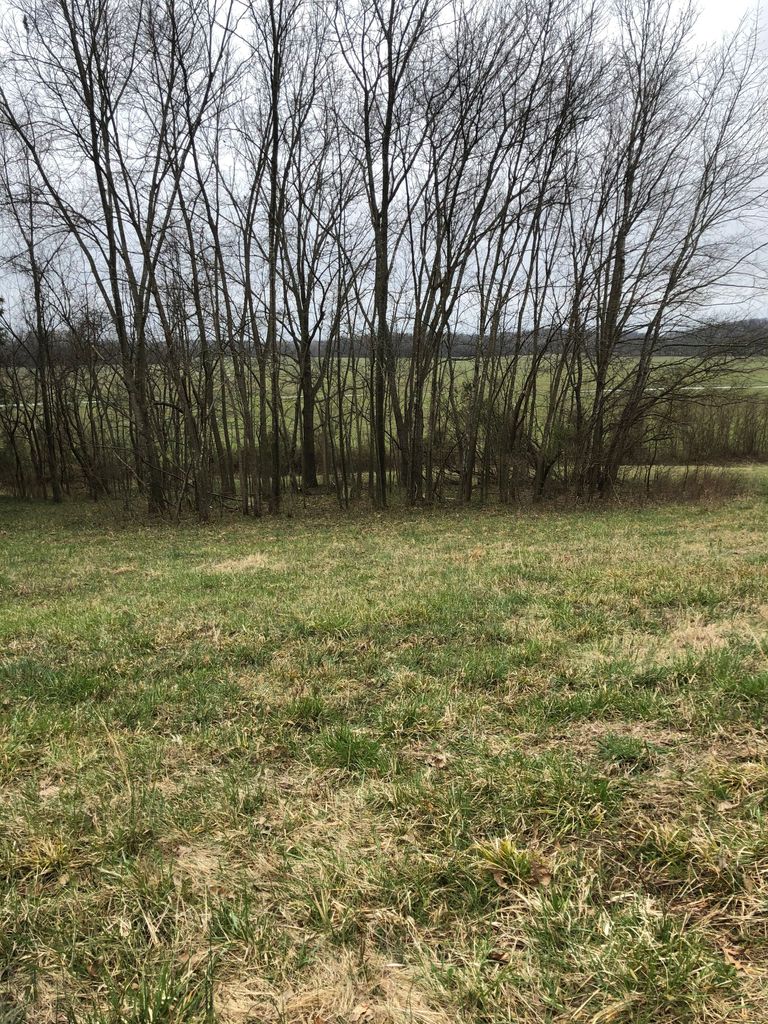
| Description | : | Latitude: N37* 06' 59.70" | 37.1165833 Longitude: W90* 03' 17.20" | -90.054778 South Of Zalma - take Hwy 51 to CR618 - take CR618 for 1 and 8/10ths miles - Cemetery on Left in a field |
frequently asked questions (FAQ):
-
Where is King-Hinkle Cemetery?
King-Hinkle Cemetery is located at Bollinger County ,Missouri ,USA.
-
King-Hinkle Cemetery cemetery's updated grave count on graveviews.com?
1 memorials
-
Where are the coordinates of the King-Hinkle Cemetery?
Latitude: 37.1165833
Longitude: -90.0547780

Nearby Cemetories:
1. Cato Cemetery
Greenbrier, Bollinger County, USA
Coordinate: 37.1016900, -90.0434100
2. Beatty Cemetery
Arab, Bollinger County, USA
Coordinate: 37.1015110, -90.0698550
3. Greenbrier Zephyr Cemetery
Greenbrier, Bollinger County, USA
Coordinate: 37.1118240, -90.0263980
4. Zalma City Cemetery
Bollinger County, USA
Coordinate: 37.1453100, -90.0779900
5. Cox Cemetery
Arab, Bollinger County, USA
Coordinate: 37.0931015, -90.0905991
6. Balch Chapel Cemetery
Zalma, Bollinger County, USA
Coordinate: 37.1545105, -90.0145264
7. Abernathy Chapel Cemetery
Bollinger Mill, Bollinger County, USA
Coordinate: 37.0844000, -90.1026000
8. Speer Cemetery
Zalma, Bollinger County, USA
Coordinate: 37.1692009, -90.0550003
9. Brush Creek Cemetery
Arab, Bollinger County, USA
Coordinate: 37.0882000, -90.1146000
10. Stratman Chapel Cemetery
Sturdivant, Bollinger County, USA
Coordinate: 37.0922000, -90.1210000
11. Hall Cemetery
Zalma, Bollinger County, USA
Coordinate: 37.1468200, -90.1217700
12. Virgin Burial Ground
Zalma, Bollinger County, USA
Coordinate: 37.1791930, -90.0630860
13. Union Hill Baptist Cemetery
Zalma, Bollinger County, USA
Coordinate: 37.1798100, -90.0643300
14. Hinkle-Crites Cemetery
Greenbrier, Bollinger County, USA
Coordinate: 37.1470900, -89.9843100
15. Berrong Cemetery
Gipsy, Bollinger County, USA
Coordinate: 37.1343360, -90.1331770
16. White Cemetery
Hahn, Bollinger County, USA
Coordinate: 37.1782990, -90.0919037
17. Sturdivant Cemetery
Sturdivant, Bollinger County, USA
Coordinate: 37.0541992, -90.0117035
18. Kellion Cemetery
Schlatitz, Bollinger County, USA
Coordinate: 37.1582985, -89.9766998
19. Collins Cemetery
Dongola, Bollinger County, USA
Coordinate: 37.1720800, -89.9883900
20. Eakers Cemetery
Hahn, Bollinger County, USA
Coordinate: 37.1939011, -90.0736008
21. Dongola Cemetery
Dongola, Bollinger County, USA
Coordinate: 37.1661750, -89.9630440
22. Ladd Cemetery
Marble Hill, Bollinger County, USA
Coordinate: 37.1630340, -89.9601890
23. Clubb Cemetery
Zalma, Bollinger County, USA
Coordinate: 37.1775017, -90.1386032
24. Mansker Cemetery
Dongola, Bollinger County, USA
Coordinate: 37.1907997, -89.9891968