
| Memorials | : | 0 |
| Location | : | Stiege, Landkreis Harz, Germany |
| Coordinate | : | 51.6664991, 10.8888544 |
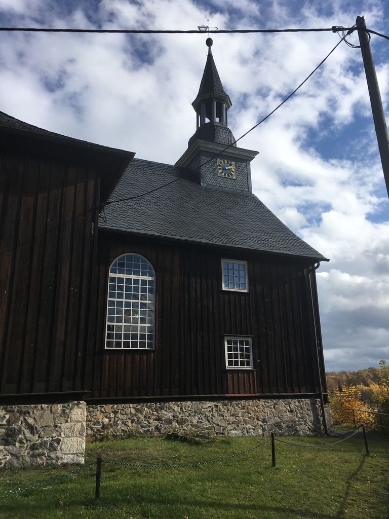
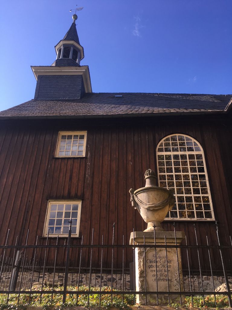
| Description | : | Die Kirche - Zur Hilfe Gottes - der Gemeinde Stiege im Harz befindet sich neben dem Schloss Stiege oberhalb des Sees. Hier befinden sich noch einige ältere Gräber. |
frequently asked questions (FAQ):
-
Where is Kirche - Zur Hilfe Gottes?
Kirche - Zur Hilfe Gottes is located at Stiege, Landkreis Harz ,Sachsen-Anhalt ,Germany.
-
Kirche - Zur Hilfe Gottes cemetery's updated grave count on graveviews.com?
0 memorials
-
Where are the coordinates of the Kirche - Zur Hilfe Gottes?
Latitude: 51.6664991
Longitude: 10.8888544
Nearby Cemetories:
1. Gedenkstätte beider Weltkriege
Stiege, Landkreis Harz, Germany
Coordinate: 51.6632215, 10.8839660
2. Gemeindefriedhof Stiege
Stiege, Landkreis Harz, Germany
Coordinate: 51.6628358, 10.8808012
3. Güntersberge Gemeindefriedhof
Quedlinburg, Landkreis Harz, Germany
Coordinate: 51.6480260, 10.9836160
4. Friedhof Rübeland
Rübeland, Landkreis Harz, Germany
Coordinate: 51.7519527, 10.8478223
5. St. Martinikirche Stolberg
Stolberg, Landkreis Mansfeld-Südharz, Germany
Coordinate: 51.5737990, 10.9544140
6. Kriegsdenkmal Hüttenode
Hüttenrode, Landkreis Harz, Germany
Coordinate: 51.7692395, 10.9042280
7. Friedhof Hüttenrode
Hüttenrode, Landkreis Harz, Germany
Coordinate: 51.7736573, 10.9068782
8. Friedhof Thale
Thale, Landkreis Harz, Germany
Coordinate: 51.7590700, 11.0317300
9. Waldfriedhof Blankenburg
Blankenburg, Landkreis Harz, Germany
Coordinate: 51.7886000, 10.9745700
10. Kloster Michaelstein
Blankenburg, Landkreis Harz, Germany
Coordinate: 51.8057800, 10.9135400
11. Neinstedter Anstaltspark
Thale, Landkreis Harz, Germany
Coordinate: 51.7500800, 11.0894100
12. Friedhof Neinstedt
Thale, Landkreis Harz, Germany
Coordinate: 51.7491900, 11.0907670
13. Dora-Mittelbau Concentration Camp
Nordhausen, Landkreis Nordhausen, Germany
Coordinate: 51.5355000, 10.7485560
14. Stiftskirche St. Cyriakus
Landkreis Harz, Germany
Coordinate: 51.7242500, 11.1359720
15. Friedhof Gernrode
Gernrode, Landkreis Harz, Germany
Coordinate: 51.7232527, 11.1391537
16. Friedhof Sankt Theobaldi
Wernigerode, Landkreis Harz, Germany
Coordinate: 51.8279000, 10.7945300
17. Nordhäuser Dom
Landkreis Nordhausen, Germany
Coordinate: 51.5041670, 10.7902780
18. Tierfriedhof am Kuckucksberg (Pet Cemetery)
Westerhausen, Landkreis Harz, Germany
Coordinate: 51.8020632, 11.0659225
19. Nordhausen Hauptfriedhof
Nordhausen, Landkreis Nordhausen, Germany
Coordinate: 51.4966580, 10.8179897
20. Cyriaci-Kapelle
Nordhausen, Landkreis Nordhausen, Germany
Coordinate: 51.5002780, 10.7913890
21. Stiftskirche St. Georgi and St. Sylvestri
Wernigerode, Landkreis Harz, Germany
Coordinate: 51.8321330, 10.7840560
22. Zentralfriedhof Wernigerode
Wernigerode, Landkreis Harz, Germany
Coordinate: 51.8273479, 10.7575788
23. Servatii-Friedhof
Quedlinburg, Landkreis Harz, Germany
Coordinate: 51.7852936, 11.1287003
24. Wiperti-Friedhof
Quedlinburg, Landkreis Harz, Germany
Coordinate: 51.7852631, 11.1301374