
| Memorials | : | 0 |
| Location | : | Eching, Landkreis Freising, Germany |
| Coordinate | : | 48.2808500, 11.6723300 |
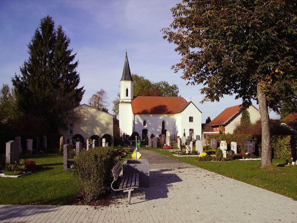
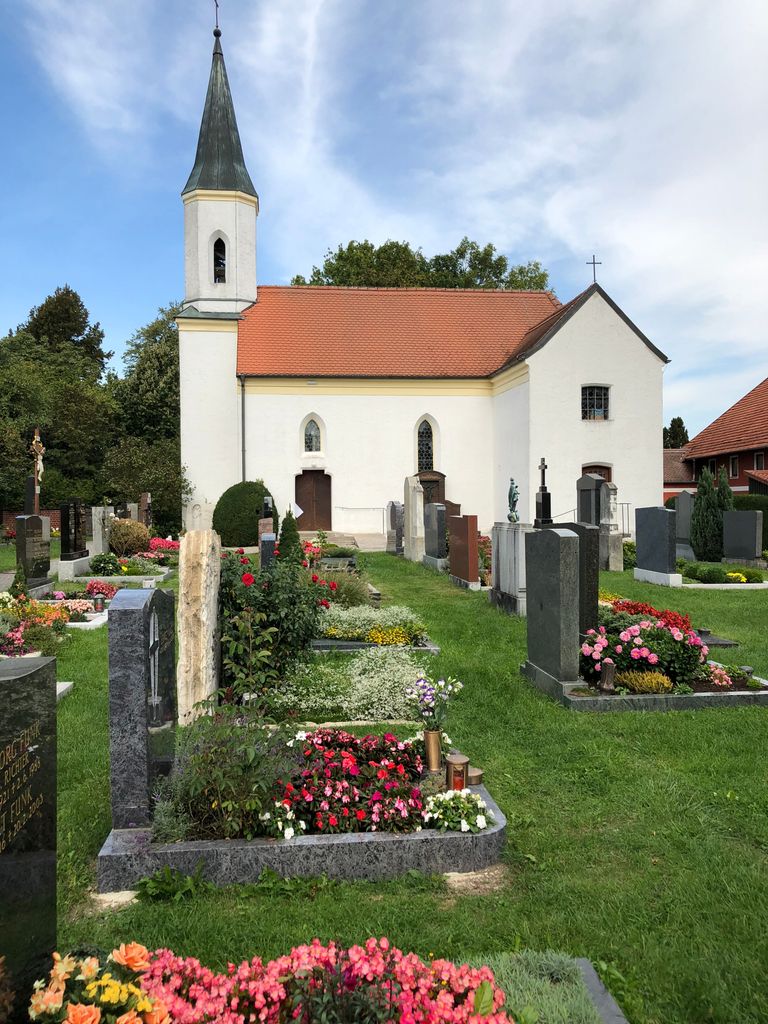
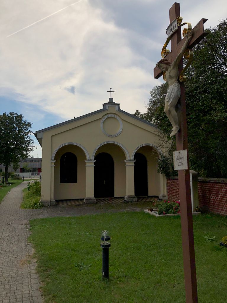
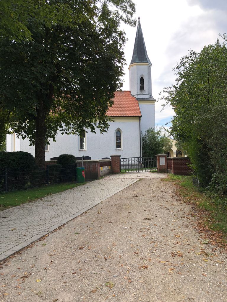
| Description | : | Der Dietersheimer Friedhof muß schon vor dem 19. Jahrhundert bestanden haben, denn 1806 wird der 'Freydhof' wegen des beabsichtigten Abbruchs der Filialkirche erwähnt und der Friedhof selbst geschlossen, wie spätere Gräber von Dietersheimern im Pfarrfriedhof Eching beweisen. Obwohl die Dietersheimer Kirche 1870/71 neu errichtet worden ist, wurde der Friedhof nach Errichtung eines Leichenhauses 1897 erst im Jahre 1900 wieder benutzt und 1968 auch erweitert. Quelle: Chronik der Gemeinde Eching 1990 |
frequently asked questions (FAQ):
-
Where is Kirchfriedhof St. Johannes?
Kirchfriedhof St. Johannes is located at Johannesweg, Ortsteil Dietersheim Eching, Landkreis Freising ,Bavaria (Bayern) , 85386Germany.
-
Kirchfriedhof St. Johannes cemetery's updated grave count on graveviews.com?
0 memorials
-
Where are the coordinates of the Kirchfriedhof St. Johannes?
Latitude: 48.2808500
Longitude: 11.6723300
Nearby Cemetories:
1. Städtlicher Friedhof von Garching bei München
Garching bei München, Landkreis München, Germany
Coordinate: 48.2551400, 11.6549700
2. Gemeindefriedhof Neufahrn
Neufahrn bei Freising, Landkreis Freising, Germany
Coordinate: 48.3108300, 11.6696300
3. Neufahrn Gemeindefriedhof
Neufahrn bei Freising, Landkreis Freising, Germany
Coordinate: 48.3111713, 11.6718575
4. Kirchenfriedhof St. Wilgefortis
Neufahrn bei Freising, Landkreis Freising, Germany
Coordinate: 48.3115000, 11.6644800
5. Friedhof St.-Katharina in Garching bei München
Garching bei München, Landkreis München, Germany
Coordinate: 48.2486400, 11.6517700
6. Südfriedhof Eching
Eching, Landkreis Freising, Germany
Coordinate: 48.2906300, 11.6205500
7. Pfarrfriedhof St. Andreas
Eching, Landkreis Freising, Germany
Coordinate: 48.2976300, 11.6233300
8. Friedhof Eching
Eching, Landkreis Freising, Germany
Coordinate: 48.2998000, 11.6216600
9. Kirchenfriedhof Mintraching
Mintraching, Landkreis Freising, Germany
Coordinate: 48.3196500, 11.6873200
10. Friedhof Mintraching
Mintraching, Landkreis Freising, Germany
Coordinate: 48.3220500, 11.6892600
11. Alter Friedhof Ismaning
Ismaning, Landkreis München, Germany
Coordinate: 48.2272500, 11.6792400
12. Goldach Cemetery
Hallbergmoos, Landkreis Freising, Germany
Coordinate: 48.3107165, 11.7484210
13. Städtischer Friedhof an der Nelkenstraße
Unterschleissheim, Landkreis München, Germany
Coordinate: 48.2780200, 11.5776600
14. Kirchenfriedhof St. Stephanus
Fürholzen, Landkreis Freising, Germany
Coordinate: 48.3324100, 11.6165800
15. Günzenhausener Friedhof
Gunzenhausen (Eching), Landkreis Freising, Germany
Coordinate: 48.3231100, 11.5995600
16. Waldfriedhof Unterschleissheim
Unterschleissheim, Landkreis München, Germany
Coordinate: 48.2695880, 11.5761690
17. Friedhof Fröttmaning
Frottmaning, Stadtkreis München, Germany
Coordinate: 48.2177970, 11.6304040
18. Kirchlicher Friedhof der Pfarrei St. Ulrich
Unterschleissheim, Landkreis München, Germany
Coordinate: 48.2770100, 11.5678000
19. Hallbergmoos
Hallbergmoos, Landkreis Freising, Germany
Coordinate: 48.3278760, 11.7517980
20. Friedhof Massenhausen
Massenhausen, Landkreis Freising, Germany
Coordinate: 48.3483800, 11.6371400
21. Kirchfriedhof Eichenried
Eichenried, Landkreis Erding, Germany
Coordinate: 48.2771800, 11.7827600
22. Inhausen Friedhof
Inhausen, Landkreis Dachau, Germany
Coordinate: 48.3035600, 11.5635000
23. Hörenzhausener Friedhof
Horenzhausen, Landkreis Freising, Germany
Coordinate: 48.3362900, 11.5939200
24. Kirchfriedhof Eicherloh
Eicherloh, Landkreis Erding, Germany
Coordinate: 48.2478900, 11.7790100