
| Memorials | : | 0 |
| Location | : | Eching, Landkreis Freising, Germany |
| Coordinate | : | 48.2906300, 11.6205500 |
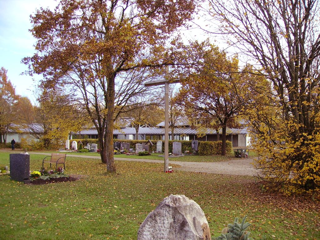
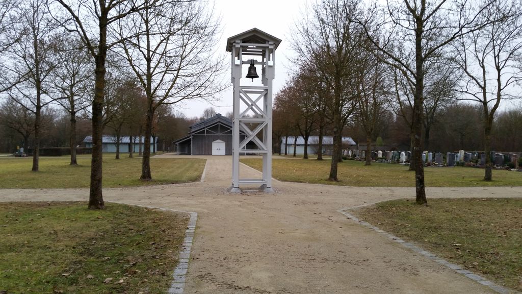
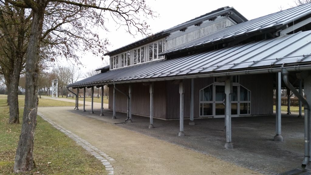
| Description | : | Erst 1986 wurde der Südfriedhof am Ende der Heidestraße angelegt nachdem der bisherige Friedhof Eching an der Danziger Straße von 1954 nicht mehr erweitert werden konnte und seinerzeit zugleich auch der damalige Pfarrfriedhof St. Andreas geschlossen wurde. |
frequently asked questions (FAQ):
-
Where is Südfriedhof Eching?
Südfriedhof Eching is located at Am Ende der Heidestraße Eching, Landkreis Freising ,Bavaria (Bayern) , 85386Germany.
-
Südfriedhof Eching cemetery's updated grave count on graveviews.com?
0 memorials
-
Where are the coordinates of the Südfriedhof Eching?
Latitude: 48.2906300
Longitude: 11.6205500
Nearby Cemetories:
1. Pfarrfriedhof St. Andreas
Eching, Landkreis Freising, Germany
Coordinate: 48.2976300, 11.6233300
2. Friedhof Eching
Eching, Landkreis Freising, Germany
Coordinate: 48.2998000, 11.6216600
3. Städtischer Friedhof an der Nelkenstraße
Unterschleissheim, Landkreis München, Germany
Coordinate: 48.2780200, 11.5776600
4. Günzenhausener Friedhof
Gunzenhausen (Eching), Landkreis Freising, Germany
Coordinate: 48.3231100, 11.5995600
5. Kirchfriedhof St. Johannes
Eching, Landkreis Freising, Germany
Coordinate: 48.2808500, 11.6723300
6. Kirchenfriedhof St. Wilgefortis
Neufahrn bei Freising, Landkreis Freising, Germany
Coordinate: 48.3115000, 11.6644800
7. Waldfriedhof Unterschleissheim
Unterschleissheim, Landkreis München, Germany
Coordinate: 48.2695880, 11.5761690
8. Kirchlicher Friedhof der Pfarrei St. Ulrich
Unterschleissheim, Landkreis München, Germany
Coordinate: 48.2770100, 11.5678000
9. Gemeindefriedhof Neufahrn
Neufahrn bei Freising, Landkreis Freising, Germany
Coordinate: 48.3108300, 11.6696300
10. Neufahrn Gemeindefriedhof
Neufahrn bei Freising, Landkreis Freising, Germany
Coordinate: 48.3111713, 11.6718575
11. Inhausen Friedhof
Inhausen, Landkreis Dachau, Germany
Coordinate: 48.3035600, 11.5635000
12. Kirchenfriedhof St. Stephanus
Fürholzen, Landkreis Freising, Germany
Coordinate: 48.3324100, 11.6165800
13. Städtlicher Friedhof von Garching bei München
Garching bei München, Landkreis München, Germany
Coordinate: 48.2551400, 11.6549700
14. Friedhof St.-Katharina in Garching bei München
Garching bei München, Landkreis München, Germany
Coordinate: 48.2486400, 11.6517700
15. Hörenzhausener Friedhof
Horenzhausen, Landkreis Freising, Germany
Coordinate: 48.3362900, 11.5939200
16. Haimhausen Friedhof
Haimhausen, Landkreis Dachau, Germany
Coordinate: 48.3197000, 11.5582600
17. Kirchenfriedhof Mintraching
Mintraching, Landkreis Freising, Germany
Coordinate: 48.3196500, 11.6873200
18. Friedhof Mintraching
Mintraching, Landkreis Freising, Germany
Coordinate: 48.3220500, 11.6892600
19. Friedhof Massenhausen
Massenhausen, Landkreis Freising, Germany
Coordinate: 48.3483800, 11.6371400
20. Ottershausen Kirchhof
Ottershausen, Landkreis Dachau, Germany
Coordinate: 48.3060500, 11.5348700
21. Hetzenhausener Friedhof
Hetzenhausen, Landkreis Freising, Germany
Coordinate: 48.3494600, 11.6111500
22. Großnöbacher Friedhof
Grossnobach, Landkreis Freising, Germany
Coordinate: 48.3443800, 11.5764800
23. Oberschleissheim Churchyard
Oberschleissheim, Landkreis München, Germany
Coordinate: 48.2327500, 11.5768400
24. Friedhof Oberschleißheim
Oberschleissheim, Landkreis München, Germany
Coordinate: 48.2326900, 11.5752000