| Memorials | : | 2 |
| Location | : | Scotland |
| Coordinate | : | 54.8946900, -4.0027600 |
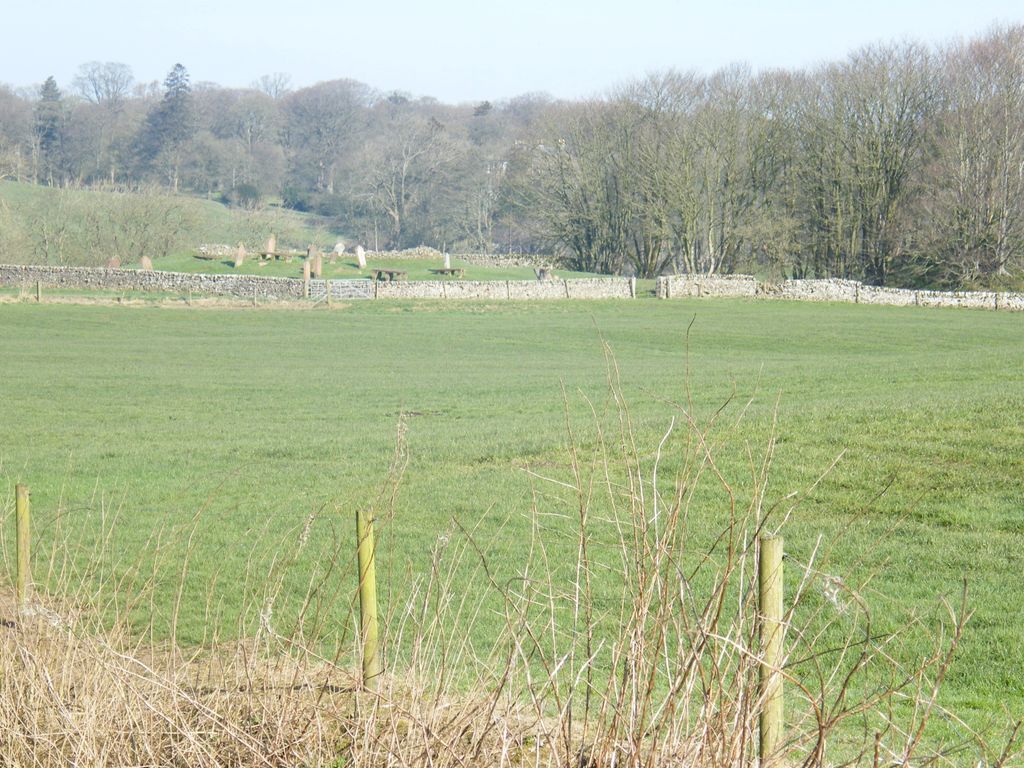
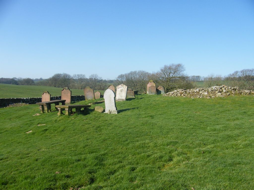
| Description | : | Kirkcormack is one of the earlier churches in the Stewartry of Kirkcudbrightshire lying within the jurisdiction of Abbey of Iona until the late 12th century when Uchtred, Lord of Galloway grants the church to the abbey of Holyrood. There is very little known about the church.The ruins of Kirkcormack are situated within a wood in an angle formed by a sharp bend of the river Dee about quarter of a mile north-north-west of Mayfield farm. (Now under the name of William Wilson & Sons.) Mayfield farm is on the back road that runs between Rhonehouse & Tongland.Access is by foot through... Read More |
frequently asked questions (FAQ):
-
Where is Kirkcormack Cemetery?
Kirkcormack Cemetery is located at Dumfries and Galloway , DG7 1TAScotland.
-
Kirkcormack Cemetery cemetery's updated grave count on graveviews.com?
2 memorials
-
Where are the coordinates of the Kirkcormack Cemetery?
Latitude: 54.8946900
Longitude: -4.0027600
Nearby Cemetories:
1. Balmaghie Parish Churchyard
Scotland
Coordinate: 54.9750000, -3.9969440
2. Buittle Cemetery
Scotland
Coordinate: 54.9195320, -3.8605370
3. Colvend Parish Churchyard
Scotland
Coordinate: 54.8683920, -3.7742470
4. Auchencloy Martyrs Monument
Scotland
Coordinate: 55.0126658, -4.1851140
5. Southwick Cemetery
Scotland
Coordinate: 54.8953040, -3.7064180
6. Irongray Kirkyard - Extention
Scotland
Coordinate: 55.1034857, -3.7632859
7. Troqueer Parish Churchyard
Scotland
Coordinate: 55.0398254, -3.6175921
8. Troqueer New Burial Ground
Scotland
Coordinate: 55.0399246, -3.6174200
9. Irongray Churchyard
Scotland
Coordinate: 55.0986790, -3.7017490
10. Caerlaverock Parish Churchyard
Scotland
Coordinate: 55.0072220, -3.5263890
11. Friends Burying Ground
Maryport, Allerdale Borough, England
Coordinate: 54.7183000, -3.4993000
12. St Mary's Churchyard
Maryport, Allerdale Borough, England
Coordinate: 54.7153300, -3.4947700
13. Quaker Burial Ground
Beckfoot, Copeland Borough, England
Coordinate: 54.8330850, -3.4134130
14. Maryport Cemetery
Maryport, Allerdale Borough, England
Coordinate: 54.7294530, -3.4754560
15. Keir Churchyard
Scotland
Coordinate: 55.2198710, -3.7941310
16. Quaker Burial Ground
Allonby, Allerdale Borough, England
Coordinate: 54.7790680, -3.4296924
17. St Nicholas' Churchyard
Flimby, Allerdale Borough, England
Coordinate: 54.6854920, -3.5158820
18. Flimby Cemetery
Flimby, Allerdale Borough, England
Coordinate: 54.6844750, -3.5163970
19. Christ Churchyard
Allonby, Allerdale Borough, England
Coordinate: 54.7671880, -3.4309950
20. St John the Evangelist Churchyard
Crosscanonby, Allerdale Borough, England
Coordinate: 54.7373530, -3.4471990
21. St Michael's Church
Workington, Allerdale Borough, England
Coordinate: 54.6457000, -3.5553000
22. Holme St Cuthbert Churchyard
Holme St Cuthbert, Allerdale Borough, England
Coordinate: 54.8108780, -3.3951990
23. Harrington Road Cemetery
Workington, Allerdale Borough, England
Coordinate: 54.6380140, -3.5512390
24. St. John's Churchyard
Workington, Allerdale Borough, England
Coordinate: 54.6413935, -3.5442752


