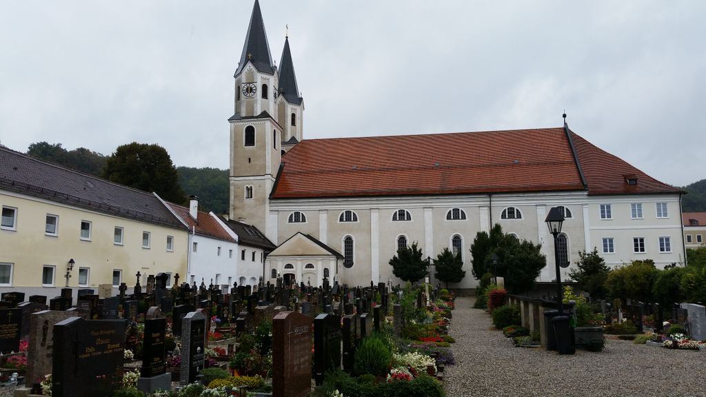
| Memorials | : | 0 |
| Location | : | Gars, Landkreis Mühldorf am Inn, Germany |
| Coordinate | : | 48.1559580, 12.2760530 |
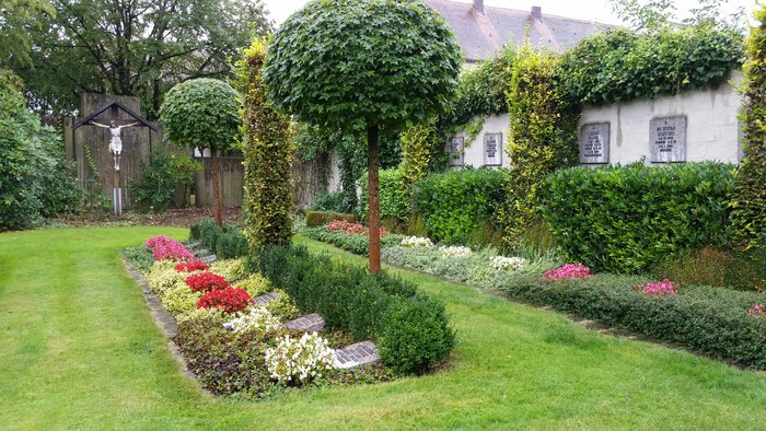
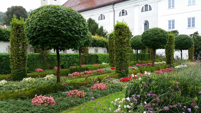
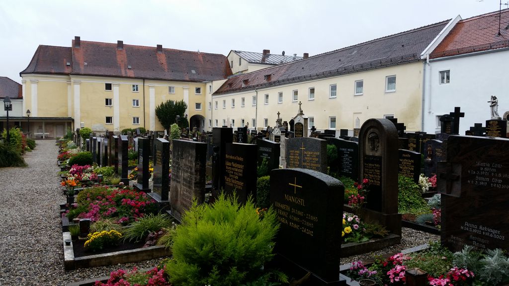
| Description | : | The parish and monastery church of the assumption and St. Radegundis in Gars am Inn is the Church of the Redemptorist monastery of Gars and Catholic parish church of the village. The Romanesque church was built in the 12th century, which was later repeatedly rebuilt and renewed, was canceled due to the damages suffered during the thirty years war to 1658. 1661 started construction was already a year later for services used and consecrated in 1690 by the Archbishop of Salzburg. Planning and execution were in the hands of the Graubündner Builder Giovanni Gaspare Zuccalli and Domenico Cristoforo Zuccalli. It was... Read More |
frequently asked questions (FAQ):
-
Where is Klosterkirche Mariä Himmelfahrt?
Klosterkirche Mariä Himmelfahrt is located at Kirchpl. 5 Gars, Landkreis Mühldorf am Inn ,Bavaria (Bayern) , 83536Germany.
-
Klosterkirche Mariä Himmelfahrt cemetery's updated grave count on graveviews.com?
0 memorials
-
Where are the coordinates of the Klosterkirche Mariä Himmelfahrt?
Latitude: 48.1559580
Longitude: 12.2760530
Nearby Cemetories:
1. Kloster Ramsau
Ramsau, Landkreis Mühldorf am Inn, Germany
Coordinate: 48.1735950, 12.2284910
2. Mariä Himmelfahrt
Aschau am Inn, Landkreis Mühldorf am Inn, Germany
Coordinate: 48.1978180, 12.3449380
3. Friedhof Haag
Haag in Oberbayern, Landkreis Mühldorf am Inn, Germany
Coordinate: 48.1592500, 12.1805700
4. Friedhof
Rechtmehring, Landkreis Mühldorf am Inn, Germany
Coordinate: 48.1274560, 12.1575826
5. Waldkraiburg Cemetery
Waldkraiburg, Landkreis Mühldorf am Inn, Germany
Coordinate: 48.2075810, 12.3881480
6. Stadtfriedhof Wasserburg
Wasserburg am Inn, Landkreis Rosenheim, Germany
Coordinate: 48.0625800, 12.2297800
7. Friedhof Obertaufkirchen
Obertaufkirchen, Landkreis Mühldorf am Inn, Germany
Coordinate: 48.2625800, 12.2745900
8. Kirchenfriedhof Großschwindau
Grossschwindau, Landkreis Erding, Germany
Coordinate: 48.2315752, 12.1394149
9. Friedhof Am Herder Wasserburg am Inn
Wasserburg am Inn, Landkreis Rosenheim, Germany
Coordinate: 48.0451622, 12.2118379
10. Friedhof Albaching
Albaching, Landkreis Rosenheim, Germany
Coordinate: 48.1113892, 12.1105137
11. KZ Gedenkstätte Mühldorfer Hart
Landkreis Mühldorf am Inn, Germany
Coordinate: 48.2222100, 12.4253110
12. Kirchhof Maitenbeth
Maitenbeth, Landkreis Mühldorf am Inn, Germany
Coordinate: 48.1498900, 12.0930000
13. Friedhof Maitenbeth
Maitenbeth, Landkreis Mühldorf am Inn, Germany
Coordinate: 48.1467470, 12.0927180
14. Katholischer Friedhof Edling
Edling, Landkreis Rosenheim, Germany
Coordinate: 48.0581600, 12.1620400
15. Margarethenfriedhof Ampfing
Ampfing, Landkreis Mühldorf am Inn, Germany
Coordinate: 48.2524943, 12.4122478
16. Friedhof Dorfen
Dorfen, Landkreis Erding, Germany
Coordinate: 48.2774300, 12.1465400
17. Friedhof St. Jakobus d. Ä. Albertaich
Albertaich, Landkreis Traunstein, Germany
Coordinate: 48.0169803, 12.3664307
18. Friedhof Ramerberg
Ramerberg, Landkreis Rosenheim, Germany
Coordinate: 48.0179966, 12.1453783
19. Gemeindefriedhof Obing
Obing, Landkreis Traunstein, Germany
Coordinate: 48.0056124, 12.4067529
20. Kirchenfriedhof St. Laurentius, Obing
Obing, Landkreis Traunstein, Germany
Coordinate: 48.0011952, 12.4079182
21. Frauenneuharting Friedhof
Fraueneuharting, Landkreis Ebersberg, Germany
Coordinate: 48.0392720, 12.0486350
22. Aspertsham
Aspertsham, Landkreis Mühldorf am Inn, Germany
Coordinate: 48.3302185, 12.4077782
23. Aspersham
Aspertsham, Landkreis Mühldorf am Inn, Germany
Coordinate: 48.3302681, 12.4077812
24. Kirchenfriedhof Mößling
Mossling, Landkreis Mühldorf am Inn, Germany
Coordinate: 48.2671879, 12.5217748


