| Memorials | : | 0 |
| Location | : | Kvanvik, Flekkefjord kommune, Norway |
| Coordinate | : | 58.2850100, 6.5385200 |
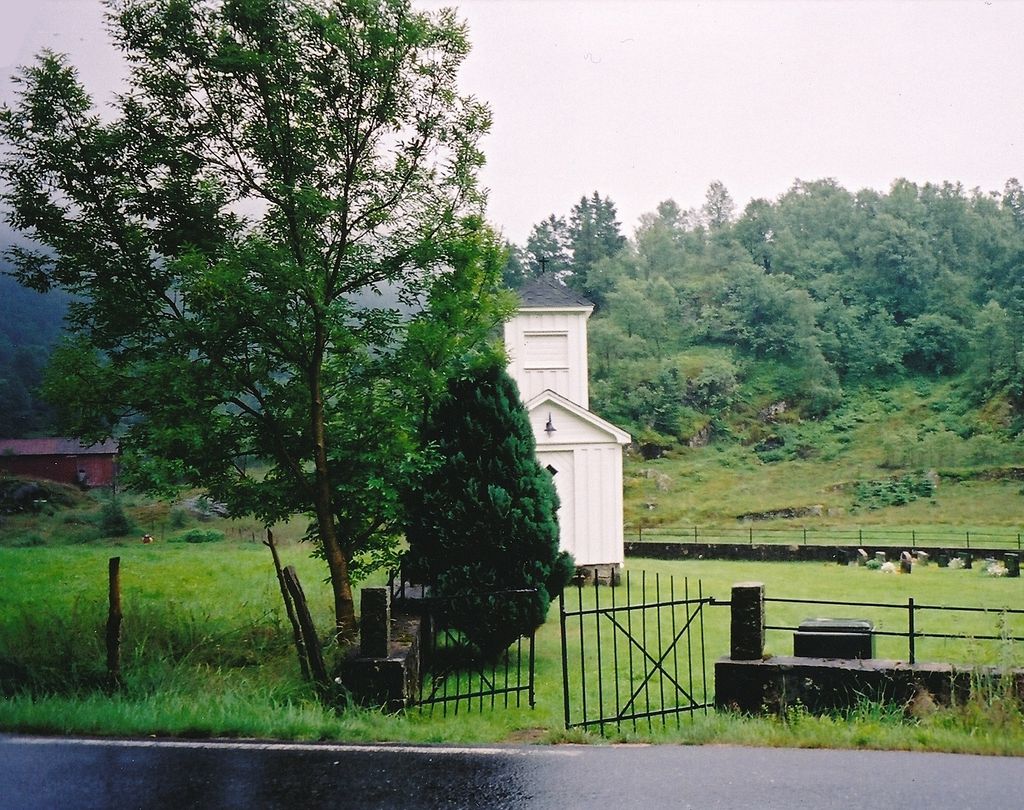
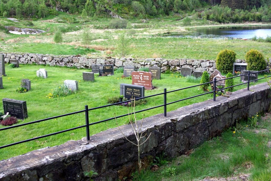
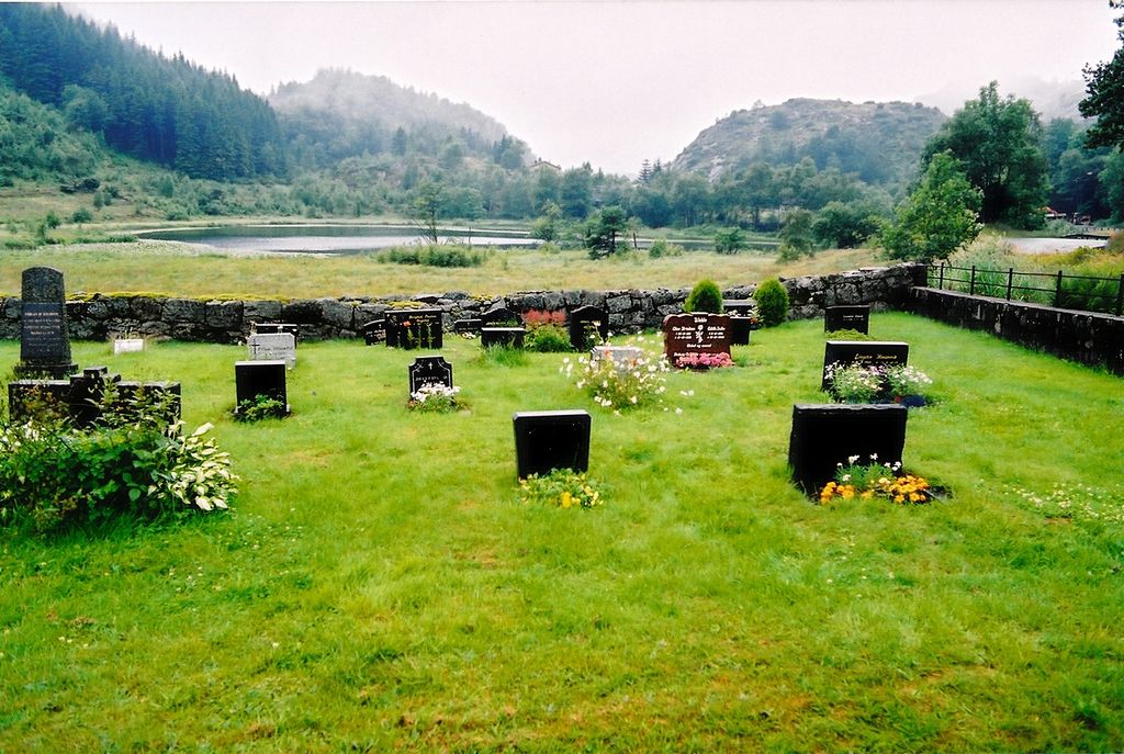
| Description | : | Kvanvik cemetery was created in 1901. The first funeral took place on 31 August 1901; the official inauguration was on 23 October 1901 - there were many people present. At that time it was estimated that there was space for 100 burials. The cemetery was expanded in 1951. It was built a new bell tower in 1949, work was carried out by three men from Kvanvik. In the same year it raised money for a new bell. This has the text: "Given by the villagers in 1949. I am the resurrection and the life." The bell tower is also... Read More |
frequently asked questions (FAQ):
-
Where is Kvanvik Cemetery?
Kvanvik Cemetery is located at Kvanvik, Flekkefjord kommune ,Vest-Agder fylke ,Norway.
-
Kvanvik Cemetery cemetery's updated grave count on graveviews.com?
0 memorials
-
Where are the coordinates of the Kvanvik Cemetery?
Latitude: 58.2850100
Longitude: 6.5385200
Nearby Cemetories:
1. Ana Sira Church Cemetery
Ana-Sira, Sokndal kommune, Norway
Coordinate: 58.2934000, 6.4421000
2. Hidra Churchyard
Rasvag, Flekkefjord kommune, Norway
Coordinate: 58.2329770, 6.5373100
3. Tjørsvaag Cemetery
Flekkefjord, Flekkefjord kommune, Norway
Coordinate: 58.2971090, 6.6463100
4. Sundslia Churchyard
Flekkefjord, Flekkefjord kommune, Norway
Coordinate: 58.2968210, 6.6811160
5. Eikedal Cemetery
Hauge i Dalane, Sokndal kommune, Norway
Coordinate: 58.3450000, 6.3108700
6. Frøyland gravplass
Sokndal kommune, Norway
Coordinate: 58.3433400, 6.3073650
7. Bakke Cemetery
Sira, Flekkefjord kommune, Norway
Coordinate: 58.4142000, 6.6590000
8. Feda Churchyard
Feda, Kvinesdal kommune, Norway
Coordinate: 58.2629160, 6.8198570
9. Lund kirkegård - Moi
Moi, Lund kommune, Norway
Coordinate: 58.4477540, 6.5535102
10. Herad Kyrkje
Herad, Farsund kommune, Norway
Coordinate: 58.1561398, 6.7957986
11. Vanse Kyrkje
Farsund, Farsund kommune, Norway
Coordinate: 58.1005708, 6.6940280
12. Kvinesdal
Kvinesdal, Kvinesdal kommune, Norway
Coordinate: 58.3170980, 6.9605850
13. Farsund kirke
Farsund, Farsund kommune, Norway
Coordinate: 58.0947530, 6.7984450
14. Frelserens Kirke
Farsund, Farsund kommune, Norway
Coordinate: 58.0941415, 6.7975047
15. Lyngdal kirke
Lyngdal, Lyngdal kommune, Norway
Coordinate: 58.1531800, 7.0913300
16. Egersund Churchyard
Egersund, Eigersund kommune, Norway
Coordinate: 58.4459600, 6.0041540
17. Helleland Churchyard
Helleland, Sola kommune, Norway
Coordinate: 58.5209130, 6.1155580
18. Austad Kirkegård
Austad, Lyngdal kommune, Norway
Coordinate: 58.0919801, 7.0437220
19. Fjotland
Kvinesdal, Kvinesdal kommune, Norway
Coordinate: 58.5249440, 6.9911710
20. Kvaas Cemetery
Lyngdal kommune, Norway
Coordinate: 58.2632950, 7.1993080
21. Hægebostad Kirke
Hægebostad kommune, Norway
Coordinate: 58.3403323, 7.2061549
22. Bjerkreim Church Cemetery
Bjerkreim, Bjerkreim kommune, Norway
Coordinate: 58.5836000, 6.0769000
23. Skeihaugen
Sirdal kommune, Norway
Coordinate: 58.6679360, 6.7213640
24. Spangereid Churchyard
Spangereid, Lindesnes kommune, Norway
Coordinate: 58.0464728, 7.1418579


