
| Memorials | : | 46 |
| Location | : | Lancaster, Los Angeles County, USA |
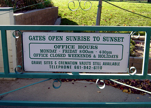
| Phone | : | 661-942-6110 |
| Coordinate | : | 34.6977806, -118.1286087 |
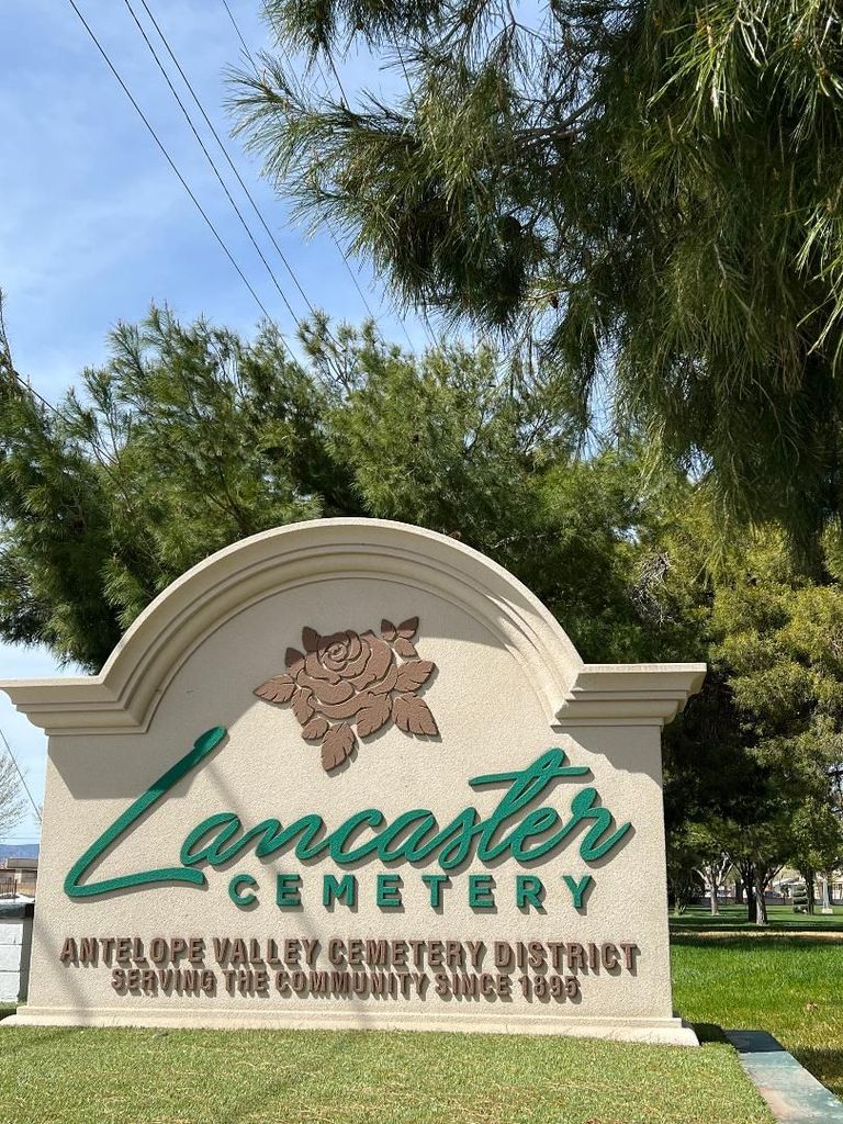
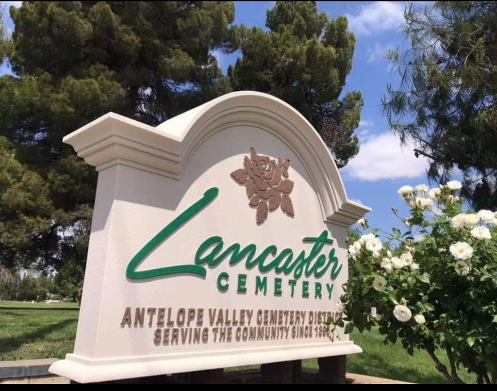
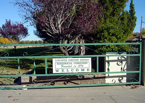
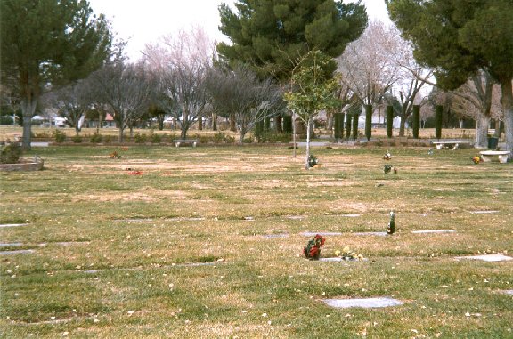
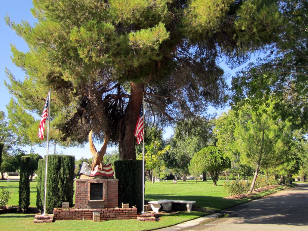
| Description | : | Lancaster Cemetery is a part of the Antelope Valley Cemetery District, which became a Special District through the State of California in the year 1950. Burials began at Lancaster Cemetery in the early to mid-1890s in the unincorporated area of Los Angeles County, California – in Lancaster, a city located in the area known as the Antelope Valley. Burials took place on the property without the permission of the property owner, Benjamin Carter. Lancaster Cemetery was "officially" founded in 1902 when Carter donated the land to Los Angeles County in trust for the citizens of Lancaster (Lancaster did not become... Read More |
frequently asked questions (FAQ):
-
Where is Lancaster Cemetery?
Lancaster Cemetery is located at 111 E. Lancaster Blvd. Lancaster, Los Angeles County ,California , 93535USA.
-
Lancaster Cemetery cemetery's updated grave count on graveviews.com?
38 memorials
-
Where are the coordinates of the Lancaster Cemetery?
Latitude: 34.6977806
Longitude: -118.1286087
Nearby Cemetories:
1. Joshua Memorial Park
Lancaster, Los Angeles County, USA
Coordinate: 34.6958008, -118.1141968
2. Good Shepherd Catholic Cemetery
Lancaster, Los Angeles County, USA
Coordinate: 34.6656400, -118.2541300
3. Palmdale Cemetery
Palmdale, Los Angeles County, USA
Coordinate: 34.5592003, -118.0916977
4. Desert Lawn Memorial Park
Palmdale, Los Angeles County, USA
Coordinate: 34.5525890, -118.0900880
5. Islamic Cemetery and Masjid
Rosamond, Kern County, USA
Coordinate: 34.8385340, -118.3402240
6. Acton Community Cemetery
Acton, Los Angeles County, USA
Coordinate: 34.4791985, -118.2007980
7. Vasquez Rocks Natural Area County Park Burial Site
Agua Dulce, Los Angeles County, USA
Coordinate: 34.4886600, -118.3214500
8. Mount Gleason Ranch Cemetery
Acton, Los Angeles County, USA
Coordinate: 34.4410480, -118.1980720
9. Trier-Pfalzel
Pfalzel, Stadtkreis Trier, Germany
Coordinate: 34.9245895, -117.9339504
10. Saint Andrews Abbey Cemetery
Valyermo, Los Angeles County, USA
Coordinate: 34.4521217, -117.8681335
11. Llano Del Rio Cemetery
Llano, Los Angeles County, USA
Coordinate: 34.4851000, -117.8092100
12. Loomis Family Cemetery
Mount Wilson, Los Angeles County, USA
Coordinate: 34.3470200, -118.0488700
13. Mojave Cemetery
Mojave, Kern County, USA
Coordinate: 35.0550117, -118.1694565
14. Mitchell-Dyer Family Cemetery
Santa Clarita, Los Angeles County, USA
Coordinate: 34.4210200, -118.4309600
15. Sand Canyon Ranch Burial Site
Santa Clarita, Los Angeles County, USA
Coordinate: 34.3766880, -118.4105940
16. Colby Ranch Cemetery
Palmdale, Los Angeles County, USA
Coordinate: 34.2986200, -118.1115100
17. James Foley Gravesite
Tehachapi, Kern County, USA
Coordinate: 35.0509590, -118.3561170
18. Ruiz-Perea Family Cemetery
Santa Clarita, Los Angeles County, USA
Coordinate: 34.4889170, -118.5458940
19. Glen Haven Memorial Park
Sylmar, Los Angeles County, USA
Coordinate: 34.3085130, -118.3768380
20. Sholom Memorial Park
Sylmar, Los Angeles County, USA
Coordinate: 34.3051630, -118.3763500
21. Melody Ranch Burial Ground
Newhall, Los Angeles County, USA
Coordinate: 34.3833080, -118.5102620
22. Verdugo Hills Cemetery
Tujunga, Los Angeles County, USA
Coordinate: 34.2619019, -118.2822037
23. Eternal Valley Memorial Park
Newhall, Los Angeles County, USA
Coordinate: 34.3625336, -118.5077057
24. William S Hart Estate Burial Site
Newhall, Los Angeles County, USA
Coordinate: 34.3746600, -118.5249600