| Memorials | : | 1 |
| Location | : | Palmdale, Los Angeles County, USA |
| Coordinate | : | 34.5592003, -118.0916977 |
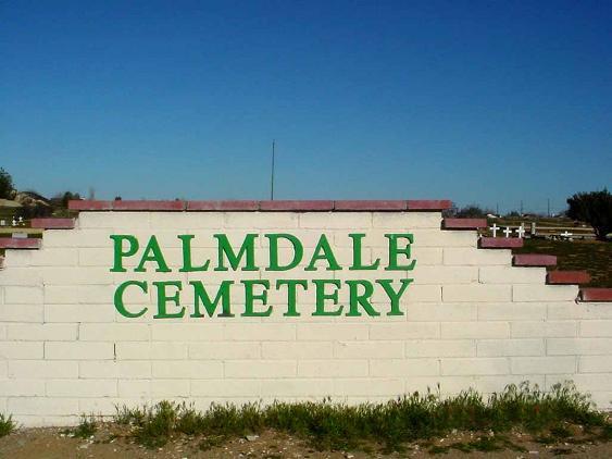
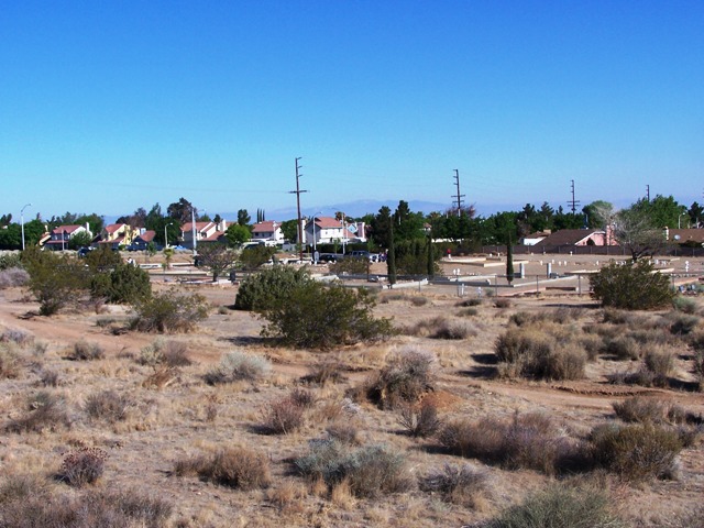
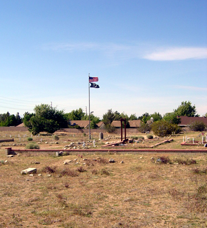
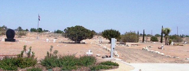
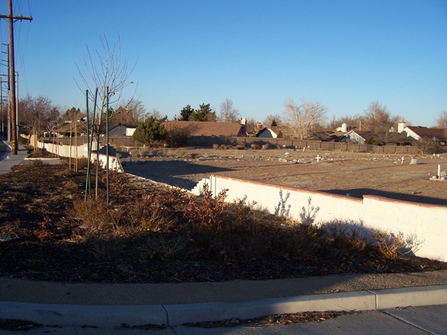
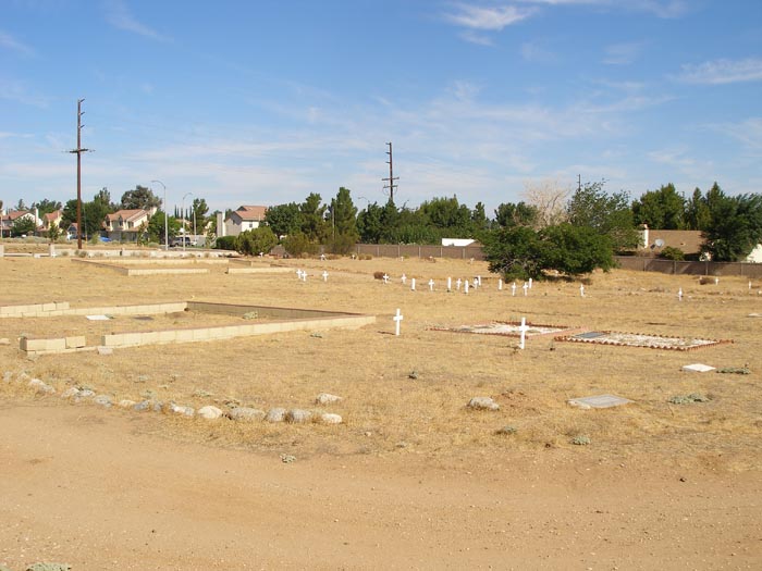
| Description | : | The old Palmdale Cemetery is one of the only reminders of the early Palmdale settlement known as “Palmenthal.” About 60 families of Swiss and German descent, predominantly from Nebraska and Illinois, settled in the area in 1886, and founded a Lutheran Church. The Jonas family, one of the pioneer families who settled in Palmenthal, donated twenty acres of land to the church for a cemetery. Other Palmenthal pioneer families found in the cemetery include: Nagel, Jones, Ritter, Munz, and Phillips. Locally familiar names such as Kimbrough, Leighter, Courson (the first honorary mayor of Palmdale), and Rogers can also be found... Read More |
frequently asked questions (FAQ):
-
Where is Palmdale Cemetery?
Palmdale Cemetery is located at 20th Street East, North of Avenue S Palmdale, Los Angeles County ,California ,USA.
-
Palmdale Cemetery cemetery's updated grave count on graveviews.com?
1 memorials
-
Where are the coordinates of the Palmdale Cemetery?
Latitude: 34.5592003
Longitude: -118.0916977
Nearby Cemetories:
1. Desert Lawn Memorial Park
Palmdale, Los Angeles County, USA
Coordinate: 34.5525890, -118.0900880
2. Acton Community Cemetery
Acton, Los Angeles County, USA
Coordinate: 34.4791985, -118.2007980
3. Joshua Memorial Park
Lancaster, Los Angeles County, USA
Coordinate: 34.6958008, -118.1141968
4. Lancaster Cemetery
Lancaster, Los Angeles County, USA
Coordinate: 34.6977806, -118.1286087
5. Mount Gleason Ranch Cemetery
Acton, Los Angeles County, USA
Coordinate: 34.4410480, -118.1980720
6. Good Shepherd Catholic Cemetery
Lancaster, Los Angeles County, USA
Coordinate: 34.6656400, -118.2541300
7. Vasquez Rocks Natural Area County Park Burial Site
Agua Dulce, Los Angeles County, USA
Coordinate: 34.4886600, -118.3214500
8. Saint Andrews Abbey Cemetery
Valyermo, Los Angeles County, USA
Coordinate: 34.4521217, -117.8681335
9. Loomis Family Cemetery
Mount Wilson, Los Angeles County, USA
Coordinate: 34.3470200, -118.0488700
10. Llano Del Rio Cemetery
Llano, Los Angeles County, USA
Coordinate: 34.4851000, -117.8092100
11. Colby Ranch Cemetery
Palmdale, Los Angeles County, USA
Coordinate: 34.2986200, -118.1115100
12. Mitchell-Dyer Family Cemetery
Santa Clarita, Los Angeles County, USA
Coordinate: 34.4210200, -118.4309600
13. Sand Canyon Ranch Burial Site
Santa Clarita, Los Angeles County, USA
Coordinate: 34.3766880, -118.4105940
14. Verdugo Hills Cemetery
Tujunga, Los Angeles County, USA
Coordinate: 34.2619019, -118.2822037
15. Glen Haven Memorial Park
Sylmar, Los Angeles County, USA
Coordinate: 34.3085130, -118.3768380
16. Sholom Memorial Park
Sylmar, Los Angeles County, USA
Coordinate: 34.3051630, -118.3763500
17. Islamic Cemetery and Masjid
Rosamond, Kern County, USA
Coordinate: 34.8385340, -118.3402240
18. Brown Mountain Grave Site
Altadena, Los Angeles County, USA
Coordinate: 34.2161400, -118.1612160
19. Saint Georges Church Peace Garden
La Cañada Flintridge, Los Angeles County, USA
Coordinate: 34.2021700, -118.1960800
20. Mountain View Cemetery and Mausoleum
Altadena, Los Angeles County, USA
Coordinate: 34.1861000, -118.1481018
21. Pioneer Memorial Cemetery
Sylmar, Los Angeles County, USA
Coordinate: 34.3209305, -118.4481125
22. Ruiz-Perea Family Cemetery
Santa Clarita, Los Angeles County, USA
Coordinate: 34.4889170, -118.5458940
23. Melody Ranch Burial Ground
Newhall, Los Angeles County, USA
Coordinate: 34.3833080, -118.5102620
24. Trier-Pfalzel
Pfalzel, Stadtkreis Trier, Germany
Coordinate: 34.9245895, -117.9339504

