| Memorials | : | 5 |
| Location | : | Vedum, Vara kommun, Sweden |
| Phone | : | +46(512)797200 |
| Website | : | www.svenskakyrkan.se/vara/vedums-kyrka-och-kyrkogard |
| Coordinate | : | 58.1717990, 12.9901200 |
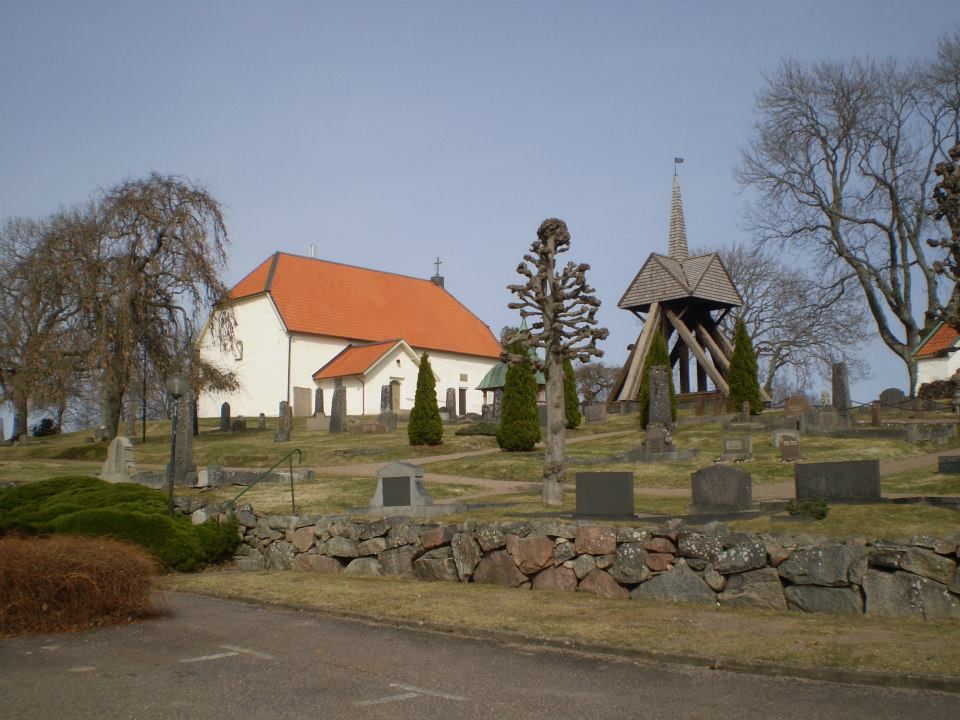
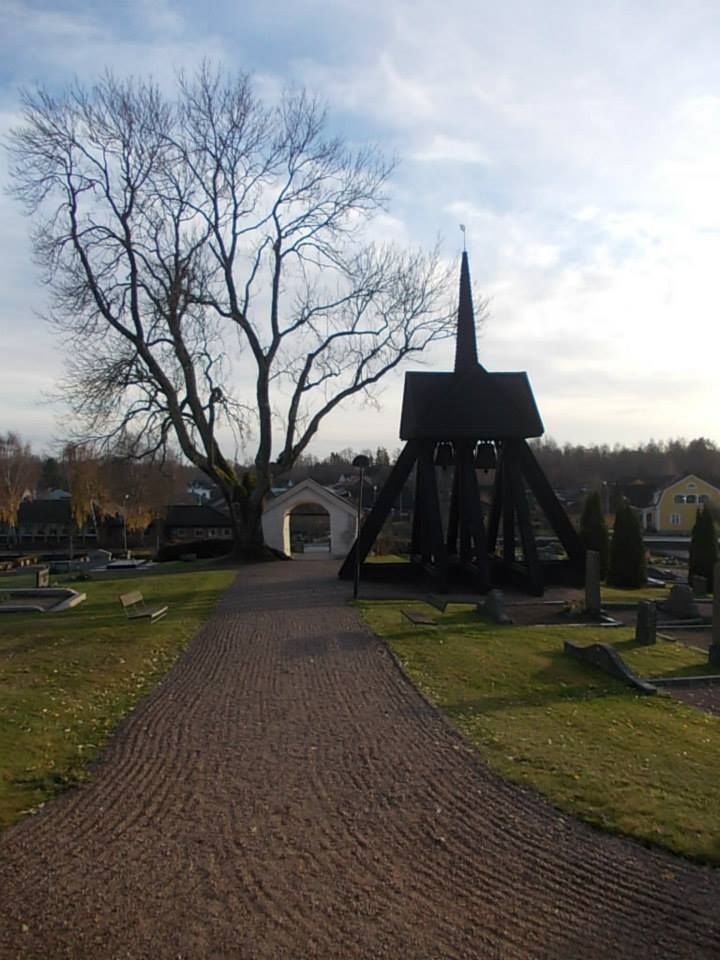
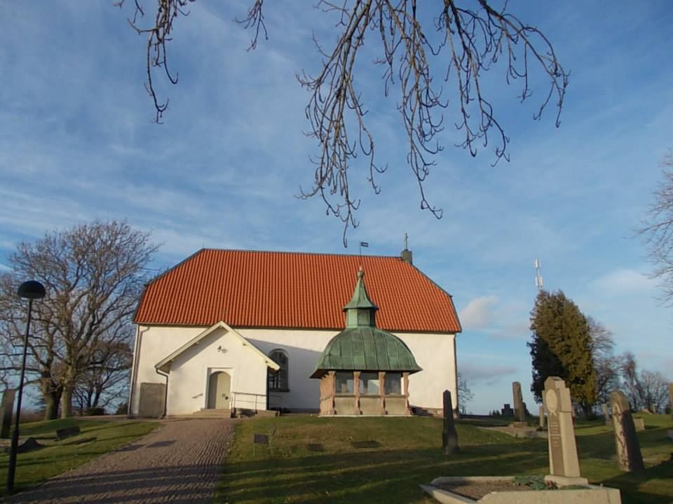
| Description | : | The church was probably built in the 13th century, its current design was given in 1776. The church and cemetery are located on a hill in the western part of Vedum's community. It is surrounded by deciduous hedges on three of the sides and a cold-walled gray stone wall. In the middle of the 17th century, the Lindelöfs family built an independent burial chancel south of the church. This consists of two horizontal tombstones covered with a curved copper plate clad hood that is crowned by a small tower. There are three more horizontal tombstones from the 17th and 18th centuries and two... Read More |
frequently asked questions (FAQ):
-
Where is Laske-Vedums kyrkogård?
Laske-Vedums kyrkogård is located at Elingsvägen 18 Vedum, Vara kommun ,Västra Götalands län , 53460Sweden.
-
Laske-Vedums kyrkogård cemetery's updated grave count on graveviews.com?
5 memorials
-
Where are the coordinates of the Laske-Vedums kyrkogård?
Latitude: 58.1717990
Longitude: 12.9901200
Nearby Cemetories:
1. Södra Lundby gamla kyrkogård
Sodra Lundby, Vara kommun, Sweden
Coordinate: 58.1887920, 13.0456000
2. Södra Lundby Nya Kyrkogården
Sodra Lundby, Vara kommun, Sweden
Coordinate: 58.1958870, 13.0388570
3. Lekåsa Cemetery
Lekåsa, Essunga kommun, Sweden
Coordinate: 58.1393980, 12.8820870
4. Larvs kyrkogård
Larv, Vara kommun, Sweden
Coordinate: 58.1897710, 13.1156840
5. Längjum Cemetery
Vara kommun, Sweden
Coordinate: 58.2149503, 13.1016114
6. Naum Kyrkogård
Naum, Vara kommun, Sweden
Coordinate: 58.2394046, 12.9210738
7. Barne-Åsaka
Essunga kommun, Sweden
Coordinate: 58.1418128, 12.8318773
8. Tråvads Kyrkogård
Vara kommun, Sweden
Coordinate: 58.2457260, 13.0870450
9. Önum Kyrkogård
Vara, Vara kommun, Sweden
Coordinate: 58.2626400, 13.0053700
10. Södra Kedum Kyrkogård
Vara, Vara kommun, Sweden
Coordinate: 58.2396225, 12.8730965
11. Eggvena Cemetery
Herrljunga kommun, Sweden
Coordinate: 58.0872283, 12.8934845
12. Essunga
Essunga kommun, Sweden
Coordinate: 58.1822346, 12.7838108
13. Fåglums Nya Kyrkogård
Essunga kommun, Sweden
Coordinate: 58.1258998, 12.7792135
14. Fåglums gamla kyrkogård
Essunga kommun, Sweden
Coordinate: 58.1223601, 12.7757212
15. Fyrunga Cemetery
Fyrunga, Vara kommun, Sweden
Coordinate: 58.2844180, 13.0938448
16. Skarstad kyrkogård
Skarstad, Vara kommun, Sweden
Coordinate: 58.2956950, 13.0351750
17. Long Kyrkogård
Long, Vara kommun, Sweden
Coordinate: 58.2984400, 12.9601700
18. Ryda kyrkogård
Ryda, Vara kommun, Sweden
Coordinate: 58.2868140, 12.8839170
19. Trävattna kyrkogård
Travattna, Falköpings kommun, Sweden
Coordinate: 58.1592120, 13.2650280
20. Bäreberg Cemetery
Essunga kommun, Sweden
Coordinate: 58.2067226, 12.7205270
21. Källunga Kyrka
Källunga, Herrljunga kommun, Sweden
Coordinate: 58.0466660, 13.1684380
22. Kullings-Skövde kyrkogård
Vårgårda kommun, Sweden
Coordinate: 58.0430490, 12.8130150
23. Hällestad Kyrkogård
Floby, Falköpings kommun, Sweden
Coordinate: 58.1090012, 13.2687868
24. Hyringa ödekyrkogård
Hyringa, Grästorps kommun, Sweden
Coordinate: 58.2926790, 12.7683480


