
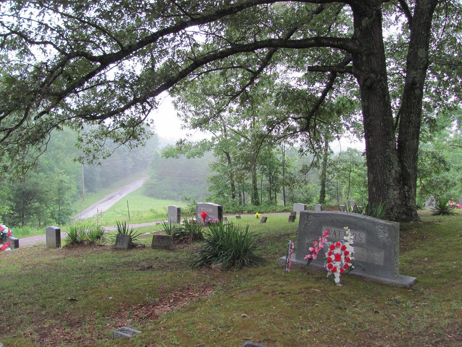
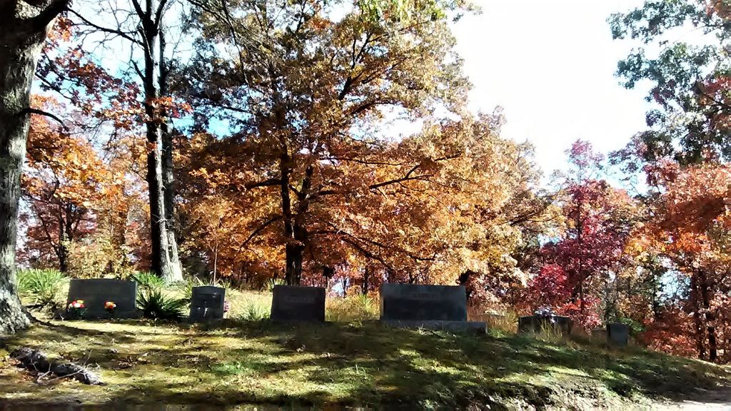
| Memorials | : | 0 |
| Location | : | McCreary County, USA |
| Coordinate | : | 36.7193985, -84.3728027 |
frequently asked questions (FAQ):
-
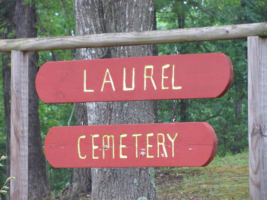
Where is Laurel Cemetery?
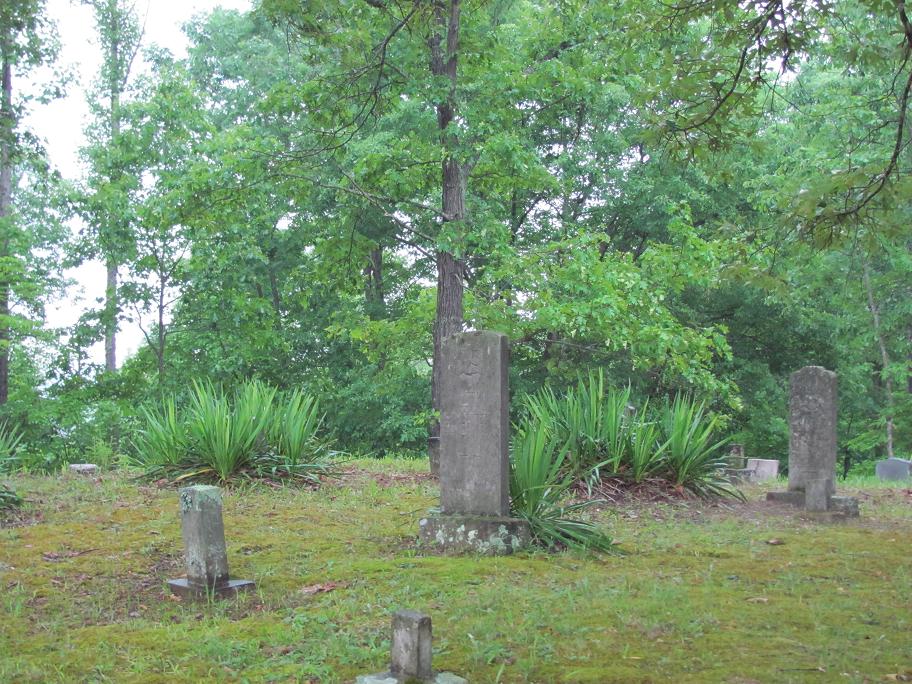
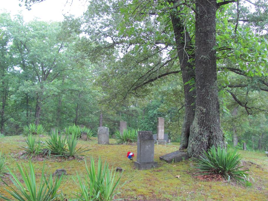
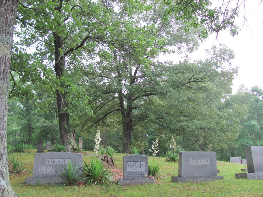
Laurel Cemetery is located at McCreary County ,Kentucky ,USA.
-
Laurel Cemetery cemetery's updated grave count on graveviews.com?
0 memorials
-
Where are the coordinates of the Laurel Cemetery?
Latitude: 36.7193985
Longitude: -84.3728027
Nearby Cemetories:
1. New Liberty Cemetery
McCreary County, USA
Coordinate: 36.7420980, -84.3543760
2. Bethel Cemetery
Pine Knot, McCreary County, USA
Coordinate: 36.6866670, -84.3555560
3. Hogue Cemetery
Pine Knot, McCreary County, USA
Coordinate: 36.6852300, -84.3870800
4. Gilreath Cemetery
McCreary County, USA
Coordinate: 36.7050018, -84.4180984
5. Bryant Cemetery
McCreary County, USA
Coordinate: 36.7702220, -84.3822830
6. Stephens Cemetery
Pine Knot, McCreary County, USA
Coordinate: 36.6731811, -84.4061634
7. Chitwood Cemetery
Pine Knot, McCreary County, USA
Coordinate: 36.6691370, -84.3979970
8. Wood Cemetery
Pine Knot, McCreary County, USA
Coordinate: 36.6688100, -84.3972390
9. East Pine Knot Memorial Gardens
Pine Knot, McCreary County, USA
Coordinate: 36.6687700, -84.3972450
10. Moore Family Cemetery
Pine Knot, McCreary County, USA
Coordinate: 36.6648100, -84.3884400
11. Davenport-Ball Cemetery
McCreary County, USA
Coordinate: 36.7713890, -84.3461110
12. Davis Hill-William Ball Family
Pine Knot, McCreary County, USA
Coordinate: 36.6631260, -84.3656470
13. Musgrove Cemetery
Pine Knot, McCreary County, USA
Coordinate: 36.6641502, -84.4223785
14. Pleasant Run Memorial Cemetery
McCreary County, USA
Coordinate: 36.6633760, -84.3244200
15. Pigeon Cemetery
Marshes Siding, McCreary County, USA
Coordinate: 36.7715920, -84.4309810
16. Pleasant Run Cemetery
Hollyhill, McCreary County, USA
Coordinate: 36.6622391, -84.3222504
17. Crabtree Cemetery
Revelo, McCreary County, USA
Coordinate: 36.6658330, -84.4338890
18. Upper Cal Hill Cemetery
Pine Knot, McCreary County, USA
Coordinate: 36.6495590, -84.4008450
19. Lower Cal Hill Cemetery
Pine Knot, McCreary County, USA
Coordinate: 36.6471800, -84.3909770
20. Cat Hill Cemetery
Pine Knot, McCreary County, USA
Coordinate: 36.6472015, -84.3914032
21. Taylor Ridge Cemetery
Marshes Siding, McCreary County, USA
Coordinate: 36.7509560, -84.4572150
22. Davis Cemetery
Pine Knot, McCreary County, USA
Coordinate: 36.6444440, -84.3683330
23. Neal Cemetery
McCreary County, USA
Coordinate: 36.6405020, -84.3827090
24. Kidd Cemetery
Pine Knot, McCreary County, USA
Coordinate: 36.6535960, -84.4295460