
| Memorials | : | 0 |
| Location | : | Marshes Siding, McCreary County, USA |
| Coordinate | : | 36.7715920, -84.4309810 |
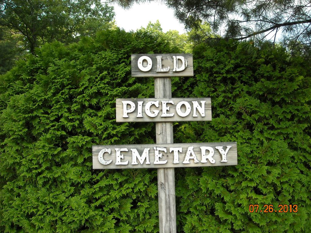
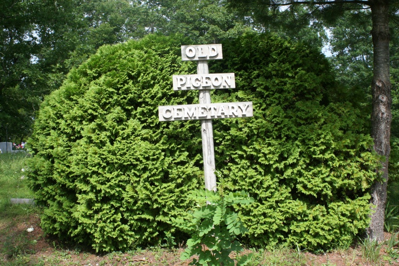
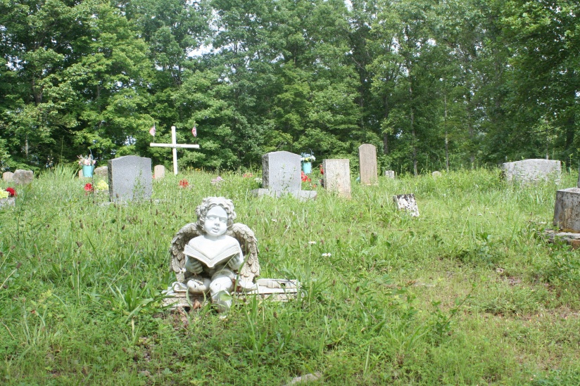
| Description | : | This is the old Pigeon Cemetery. This cemetery is between Barren Fork and Pigeon Roost Branch on Taylor Ridge. |
frequently asked questions (FAQ):
-
Where is Pigeon Cemetery?
Pigeon Cemetery is located at Marshes Siding, McCreary County ,Kentucky ,USA.
-
Pigeon Cemetery cemetery's updated grave count on graveviews.com?
0 memorials
-
Where are the coordinates of the Pigeon Cemetery?
Latitude: 36.7715920
Longitude: -84.4309810
Nearby Cemetories:
1. Christman Cemetery
McCreary County, USA
Coordinate: 36.7857580, -84.4432380
2. Taylor Ridge Cemetery
Marshes Siding, McCreary County, USA
Coordinate: 36.7509560, -84.4572150
3. Barren Fork Cemetery
McCreary County, USA
Coordinate: 36.7771988, -84.4692001
4. Beulah Mountain Christian Academy Cemetery
Beulah Heights, McCreary County, USA
Coordinate: 36.8028800, -84.4388460
5. Bryant Cemetery
McCreary County, USA
Coordinate: 36.7702220, -84.3822830
6. Indian Creek Cemetery
Beulah Heights, McCreary County, USA
Coordinate: 36.7992510, -84.3940430
7. Roberts Chapel Cemetery
Beulah Heights, McCreary County, USA
Coordinate: 36.8044260, -84.4696700
8. Flat Rock Cemetery
Flat Rock, McCreary County, USA
Coordinate: 36.7954800, -84.4838200
9. Holloway Cemetery
Marshes Siding, McCreary County, USA
Coordinate: 36.7372017, -84.4794006
10. Higginbotham Cemetery
McCreary County, USA
Coordinate: 36.8114014, -84.3846970
11. Wiborg Cemetery
Flat Rock, McCreary County, USA
Coordinate: 36.8006200, -84.4884200
12. Carter Cemetery
McCreary County, USA
Coordinate: 36.7406006, -84.4985962
13. Gilreath Cemetery
McCreary County, USA
Coordinate: 36.7050018, -84.4180984
14. Davenport-Ball Cemetery
McCreary County, USA
Coordinate: 36.7713890, -84.3461110
15. New Liberty Cemetery
McCreary County, USA
Coordinate: 36.7420980, -84.3543760
16. Piney Grove Cemetery
McCreary County, USA
Coordinate: 36.8311005, -84.4736023
17. Laurel Cemetery
McCreary County, USA
Coordinate: 36.7193985, -84.3728027
18. Angel Cemetery
Stearns, McCreary County, USA
Coordinate: 36.6982100, -84.4912100
19. Pleasant Knob Cemetery
McCreary County, USA
Coordinate: 36.8594140, -84.4240910
20. Stearns Cemetery
Stearns, McCreary County, USA
Coordinate: 36.6922836, -84.4794998
21. Hughes Cemetery
McCreary County, USA
Coordinate: 36.8596992, -84.4642029
22. Hogue Cemetery
Pine Knot, McCreary County, USA
Coordinate: 36.6852300, -84.3870800
23. Chitwood Cemetery
Smith Town, McCreary County, USA
Coordinate: 36.7184107, -84.5302171
24. Stephens Cemetery
Pine Knot, McCreary County, USA
Coordinate: 36.6731811, -84.4061634