
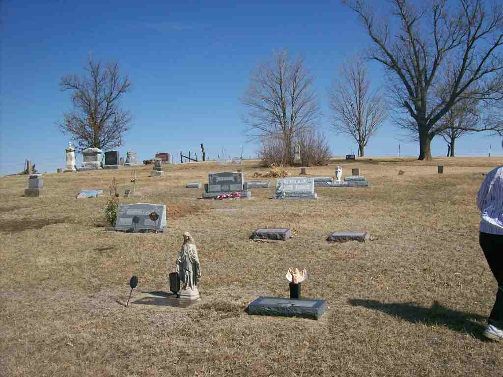
| Memorials | : | 16 |
| Location | : | Reserve, Brown County, USA |
| Coordinate | : | 39.9754105, -95.4699936 |
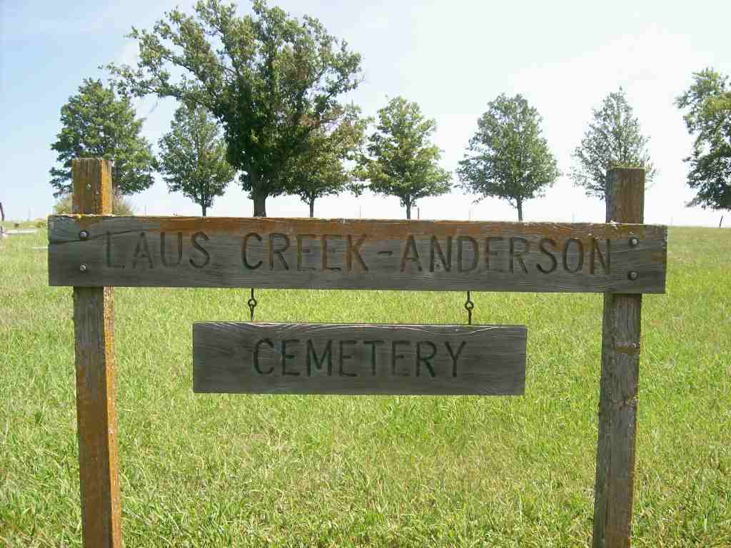
| Description | : | Also known as "Anderson Cemetery", it's located 5 miles east of Reserve, Ks, then 1/4 mile north. |
frequently asked questions (FAQ):
-
Where is Laus Creek Cemetery?
Laus Creek Cemetery is located at Reserve, Brown County ,Kansas ,USA.
-
Laus Creek Cemetery cemetery's updated grave count on graveviews.com?
16 memorials
-
Where are the coordinates of the Laus Creek Cemetery?
Latitude: 39.9754105
Longitude: -95.4699936
Nearby Cemetories:
1. Pleasant Hill Cemetery
Irving Township, Brown County, USA
Coordinate: 39.9435997, -95.4328232
2. Hart Cemetery
Reserve, Brown County, USA
Coordinate: 39.9519005, -95.5366974
3. Campbell Cemetery
Reserve, Brown County, USA
Coordinate: 39.9905980, -95.3961750
4. Cornelison Cemetery
Reserve, Brown County, USA
Coordinate: 39.9754105, -95.5485687
5. Franklin Cemetery
Rulo, Richardson County, USA
Coordinate: 40.0035000, -95.3884700
6. Roy and Franklin Cemetery
Richardson County, USA
Coordinate: 40.0036011, -95.3878021
7. Immaculate Conception Cemetery
Rulo, Richardson County, USA
Coordinate: 40.0480200, -95.4431800
8. Rulo City Cemetery
Rulo, Richardson County, USA
Coordinate: 40.0561218, -95.4420471
9. Kenyon Cemetery
Robinson, Brown County, USA
Coordinate: 39.9122000, -95.3964600
10. Oakland Cemetery
Padonia, Brown County, USA
Coordinate: 39.9273900, -95.5610900
11. Partlow Cemetery
Hiawatha, Brown County, USA
Coordinate: 39.9994011, -95.3602982
12. Tesson Cemetery
Brown County, USA
Coordinate: 39.9763985, -95.3407974
13. Pearson Point Cemetery
Falls City, Richardson County, USA
Coordinate: 40.0400800, -95.5688500
14. Zion Bethel Cemetery
Jefferson Township, Richardson County, USA
Coordinate: 40.0727997, -95.5017014
15. Falls City Cemetery
Falls City, Richardson County, USA
Coordinate: 40.0593987, -95.5569000
16. Heater Cemetery
Rulo, Richardson County, USA
Coordinate: 40.0868300, -95.4638200
17. Olive Branch Cemetery
White Cloud, Doniphan County, USA
Coordinate: 39.9729400, -95.3129400
18. Hiawatha Cemetery
Hiawatha, Brown County, USA
Coordinate: 39.8601799, -95.5265198
19. Stumbo Cemetery
Brown County, USA
Coordinate: 39.9977798, -95.6298828
20. Ununda Cemetery
Robinson, Brown County, USA
Coordinate: 39.8582993, -95.4143982
21. Zion Cemetery
Falls City, Richardson County, USA
Coordinate: 40.1001300, -95.4900500
22. Kelley Cemetery
White Cloud, Doniphan County, USA
Coordinate: 39.9797100, -95.3042800
23. Catron Cemetery
Fortescue, Holt County, USA
Coordinate: 40.0736300, -95.3629800
24. Mount Hope Cemetery
Hiawatha, Brown County, USA
Coordinate: 39.8497009, -95.5156021