
| Memorials | : | 6 |
| Location | : | Le Roy, Mower County, USA |
| Coordinate | : | 43.5217750, -92.5196340 |
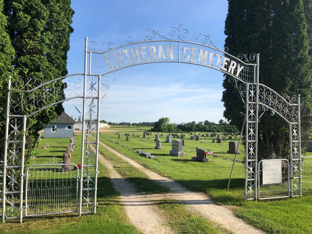
| Description | : | The Lutheran Cemetery, Saint Patricks Cemetery (Le Roy Catholic Cemetery), and the Le Roy City Cemetery are adjacent to one another along 115th Street. |
frequently asked questions (FAQ):
-
Where is Le Roy Lutheran Cemetery?
Le Roy Lutheran Cemetery is located at 115th Street and Industrial Street Le Roy, Mower County ,Minnesota , 55951USA.
-
Le Roy Lutheran Cemetery cemetery's updated grave count on graveviews.com?
6 memorials
-
Where are the coordinates of the Le Roy Lutheran Cemetery?
Latitude: 43.5217750
Longitude: -92.5196340
Nearby Cemetories:
1. Saint Patricks Cemetery
Le Roy, Mower County, USA
Coordinate: 43.5217018, -92.5207977
2. Le Roy Cemetery
Le Roy, Mower County, USA
Coordinate: 43.5214005, -92.5227966
3. Bethany Lutheran Cemetery
Le Roy, Mower County, USA
Coordinate: 43.5588989, -92.4794006
4. Bennington Pioneer Cemetery
Mower County, USA
Coordinate: 43.6013565, -92.5503693
5. Woodlawn Cemetery
Taopi, Mower County, USA
Coordinate: 43.5581017, -92.6292038
6. Chester Hill Cemetery
Chester, Howard County, USA
Coordinate: 43.4897003, -92.4072037
7. Wayne Cemetery
McIntire, Mitchell County, USA
Coordinate: 43.4411011, -92.5744019
8. Bennington Cemetery
Le Roy, Mower County, USA
Coordinate: 43.6258011, -92.5093994
9. Saint Patricks Church Cemetery
McIntire, Mitchell County, USA
Coordinate: 43.4771996, -92.6508026
10. Bloomfield Lutheran Church Cemetery
Ostrander, Fillmore County, USA
Coordinate: 43.5932999, -92.4085999
11. Ostrander Cemetery
Ostrander, Fillmore County, USA
Coordinate: 43.6167100, -92.4200400
12. Bethlehem Cemetery
Fillmore County, USA
Coordinate: 43.5303001, -92.3486023
13. Old Bloomfield Cemetery
Bloomfield Township, Fillmore County, USA
Coordinate: 43.6380200, -92.4090600
14. Marshall Lutheran Church Cemetery
Adams, Mower County, USA
Coordinate: 43.5950012, -92.6885986
15. Etna Cemetery
Etna, Fillmore County, USA
Coordinate: 43.6025009, -92.3538971
16. Sacred Heart Cemetery
Meyer, Mitchell County, USA
Coordinate: 43.4583282, -92.7011108
17. Sacred Heart Cemetery
Adams, Mower County, USA
Coordinate: 43.5635986, -92.7221985
18. Robbins Cemetery
David (historical), Mitchell County, USA
Coordinate: 43.4150009, -92.6718979
19. Riverside Cemetery
Riceville, Mitchell County, USA
Coordinate: 43.3676834, -92.5576324
20. Saratoga Township Cemetery
Saratoga, Howard County, USA
Coordinate: 43.3710000, -92.4023000
21. Calvary Cemetery
Riceville, Mitchell County, USA
Coordinate: 43.3497009, -92.5550003
22. Little Cedar Cemetery
Adams, Mower County, USA
Coordinate: 43.5736008, -92.7574997
23. Cherry Grove Cemetery
Cherry Grove, Fillmore County, USA
Coordinate: 43.5875015, -92.2880630
24. Davis Cemetery
Spring Valley, Fillmore County, USA
Coordinate: 43.6662560, -92.3703003