
| Memorials | : | 51 |
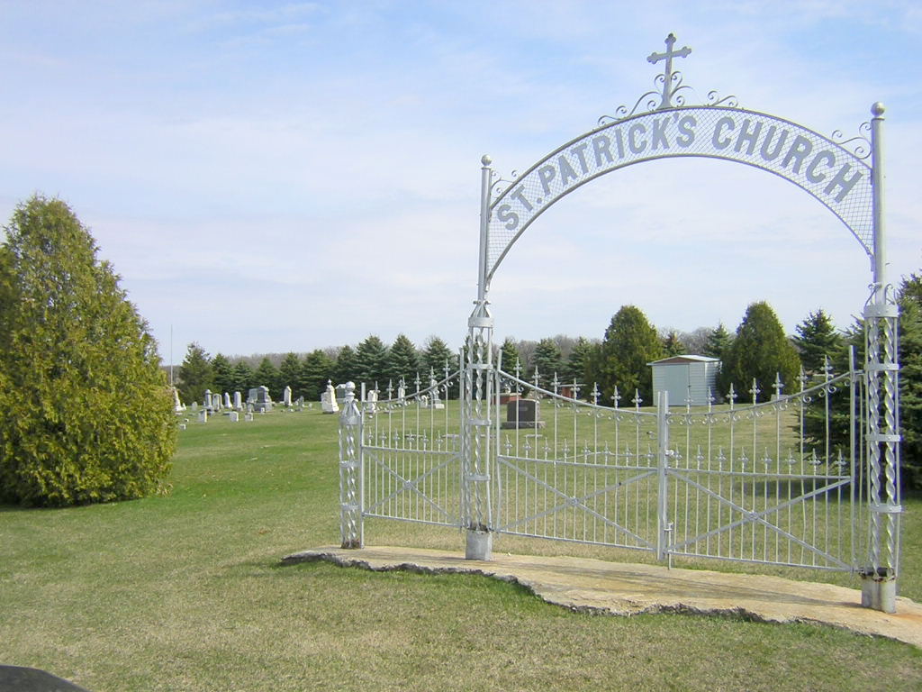
| Location | : | McIntire, Mitchell County, USA |
| Coordinate | : | 43.4771996, -92.6508026 |
frequently asked questions (FAQ):
-
Where is Saint Patricks Church Cemetery?
Saint Patricks Church Cemetery is located at McIntire, Mitchell County ,Iowa ,USA.
-
Saint Patricks Church Cemetery cemetery's updated grave count on graveviews.com?
51 memorials
-
Where are the coordinates of the Saint Patricks Church Cemetery?
Latitude: 43.4771996
Longitude: -92.6508026
Nearby Cemetories:
1. Sacred Heart Cemetery
Meyer, Mitchell County, USA
Coordinate: 43.4583282, -92.7011108
2. Robbins Cemetery
David (historical), Mitchell County, USA
Coordinate: 43.4150009, -92.6718979
3. Wayne Cemetery
McIntire, Mitchell County, USA
Coordinate: 43.4411011, -92.5744019
4. Woodlawn Cemetery
Taopi, Mower County, USA
Coordinate: 43.5581017, -92.6292038
5. Saint Johns Cemetery
Johnsburg, Mower County, USA
Coordinate: 43.5055618, -92.7688904
6. Sacred Heart Cemetery
Adams, Mower County, USA
Coordinate: 43.5635986, -92.7221985
7. Visitation Catholic Cemetery
Stacyville, Mitchell County, USA
Coordinate: 43.4430618, -92.7813873
8. Le Roy Cemetery
Le Roy, Mower County, USA
Coordinate: 43.5214005, -92.5227966
9. Saint Patricks Cemetery
Le Roy, Mower County, USA
Coordinate: 43.5217018, -92.5207977
10. Le Roy Lutheran Cemetery
Le Roy, Mower County, USA
Coordinate: 43.5217750, -92.5196340
11. Liberty Cemetery
Little Cedar, Mitchell County, USA
Coordinate: 43.3856010, -92.7230988
12. Stacyville Cemetery
Stacyville, Mitchell County, USA
Coordinate: 43.4294014, -92.7908020
13. Union Presbyterian Cemetery
Stacyville, Mitchell County, USA
Coordinate: 43.4797211, -92.8088913
14. Marshall Lutheran Church Cemetery
Adams, Mower County, USA
Coordinate: 43.5950012, -92.6885986
15. Little Cedar Cemetery
Adams, Mower County, USA
Coordinate: 43.5736008, -92.7574997
16. Riverside Cemetery
Riceville, Mitchell County, USA
Coordinate: 43.3676834, -92.5576324
17. Beaver Creek Cemetery
Brownville, Mitchell County, USA
Coordinate: 43.3397217, -92.6727829
18. Bennington Pioneer Cemetery
Mower County, USA
Coordinate: 43.6013565, -92.5503693
19. Calvary Cemetery
Riceville, Mitchell County, USA
Coordinate: 43.3497009, -92.5550003
20. Union Township Cemetery
Toeterville, Mitchell County, USA
Coordinate: 43.4578018, -92.8491974
21. Bethany Lutheran Cemetery
Le Roy, Mower County, USA
Coordinate: 43.5588989, -92.4794006
22. Six Mile Grove Cemetery
Lyle, Mower County, USA
Coordinate: 43.5069389, -92.8836136
23. Saint Peters Lutheran Cemetery
Riceville, Mitchell County, USA
Coordinate: 43.3163986, -92.5547028
24. Chester Hill Cemetery
Chester, Howard County, USA
Coordinate: 43.4897003, -92.4072037