
| Memorials | : | 4 |
| Location | : | David (historical), Mitchell County, USA |
| Coordinate | : | 43.4150009, -92.6718979 |
| Description | : | Jenkins Township, 1/2 Mile N, 1/4 Mile E of David - 450th & Shadow (Located in SW 1/4 Section 6, TWP. 99N, RNG. 15W) Commencing at the SW corner of Sec. 6,100 15, running thence East on the Section line 130 feet, thence North 118 feet, East 100 feet, South 118 feet, West 100 feet, containing .27 acre. For a private burying ground for the bodies of Joseph Robbins, deceased, his descendents or heirs, and to be used for that purpose only. Above described property may be platted at any time, if so desired by any of the descendants or heirs... Read More |
frequently asked questions (FAQ):
-
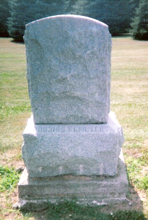
Where is Robbins Cemetery?
Robbins Cemetery is located at David (historical), Mitchell County ,Iowa ,USA.
-
Robbins Cemetery cemetery's updated grave count on graveviews.com?
4 memorials
-
Where are the coordinates of the Robbins Cemetery?
Latitude: 43.4150009
Longitude: -92.6718979
Nearby Cemetories:
1. Liberty Cemetery
Little Cedar, Mitchell County, USA
Coordinate: 43.3856010, -92.7230988
2. Sacred Heart Cemetery
Meyer, Mitchell County, USA
Coordinate: 43.4583282, -92.7011108
3. Saint Patricks Church Cemetery
McIntire, Mitchell County, USA
Coordinate: 43.4771996, -92.6508026
4. Beaver Creek Cemetery
Brownville, Mitchell County, USA
Coordinate: 43.3397217, -92.6727829
5. Wayne Cemetery
McIntire, Mitchell County, USA
Coordinate: 43.4411011, -92.5744019
6. Visitation Catholic Cemetery
Stacyville, Mitchell County, USA
Coordinate: 43.4430618, -92.7813873
7. Stacyville Cemetery
Stacyville, Mitchell County, USA
Coordinate: 43.4294014, -92.7908020
8. Riverside Cemetery
Riceville, Mitchell County, USA
Coordinate: 43.3676834, -92.5576324
9. Calvary Cemetery
Riceville, Mitchell County, USA
Coordinate: 43.3497009, -92.5550003
10. Saint Johns Cemetery
Johnsburg, Mower County, USA
Coordinate: 43.5055618, -92.7688904
11. Union Presbyterian Cemetery
Stacyville, Mitchell County, USA
Coordinate: 43.4797211, -92.8088913
12. Saint Peters Lutheran Cemetery
Riceville, Mitchell County, USA
Coordinate: 43.3163986, -92.5547028
13. Saint Peters Cemetery
New Haven, Mitchell County, USA
Coordinate: 43.2858315, -92.6427765
14. Union Township Cemetery
Toeterville, Mitchell County, USA
Coordinate: 43.4578018, -92.8491974
15. Woodlawn Cemetery
Taopi, Mower County, USA
Coordinate: 43.5581017, -92.6292038
16. Le Roy Cemetery
Le Roy, Mower County, USA
Coordinate: 43.5214005, -92.5227966
17. Saint Patricks Cemetery
Le Roy, Mower County, USA
Coordinate: 43.5217018, -92.5207977
18. Sacred Heart Cemetery
Adams, Mower County, USA
Coordinate: 43.5635986, -92.7221985
19. Le Roy Lutheran Cemetery
Le Roy, Mower County, USA
Coordinate: 43.5217750, -92.5196340
20. Saint Peter Cemetery
Toeterville, Mitchell County, USA
Coordinate: 43.4402809, -92.8897171
21. Osage Cemetery
Osage, Mitchell County, USA
Coordinate: 43.2916700, -92.8201700
22. Sacred Heart Cemetery
Osage, Mitchell County, USA
Coordinate: 43.2742004, -92.7917023
23. Little Cedar Cemetery
Adams, Mower County, USA
Coordinate: 43.5736008, -92.7574997
24. Oak Grove Cemetery
Mitchell, Mitchell County, USA
Coordinate: 43.3156013, -92.8707962