
| Memorials | : | 5 |
| Location | : | Le Flore County, USA |
| Coordinate | : | 35.2971500, -94.4353900 |
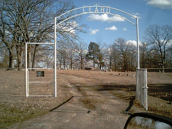
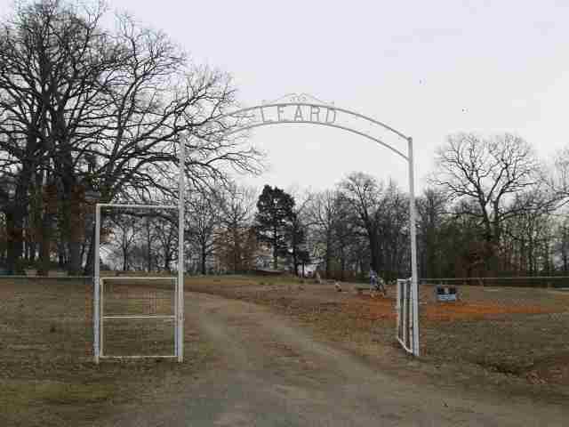
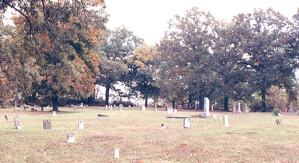
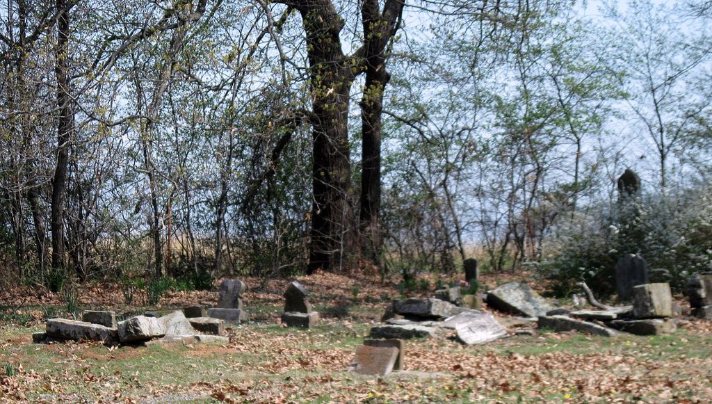
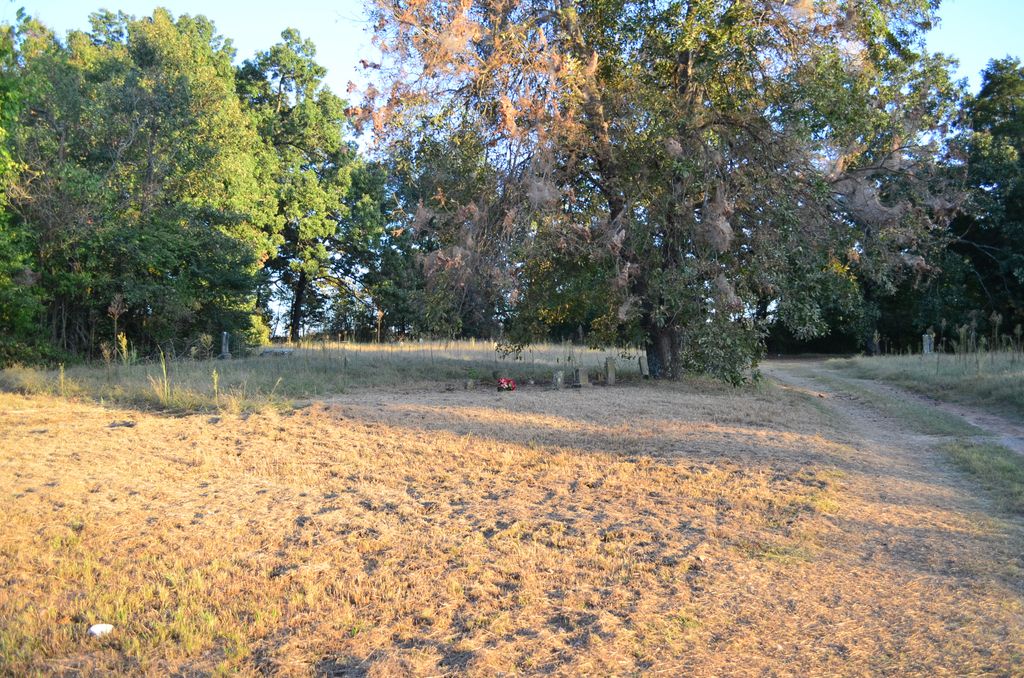
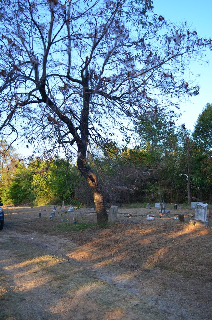
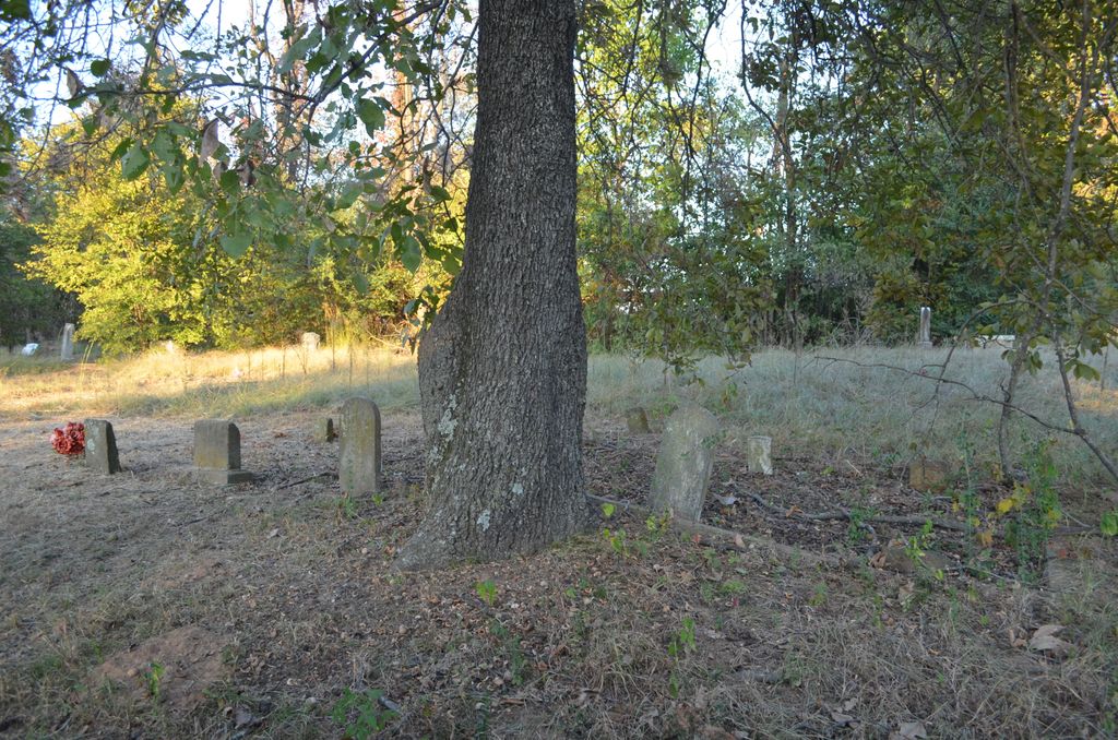
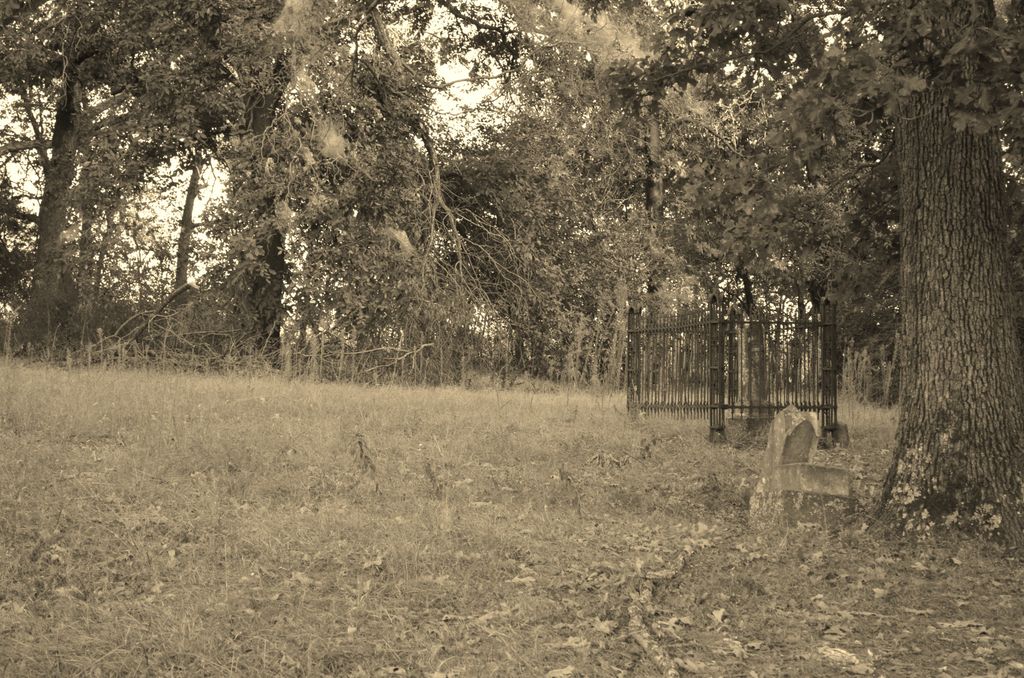
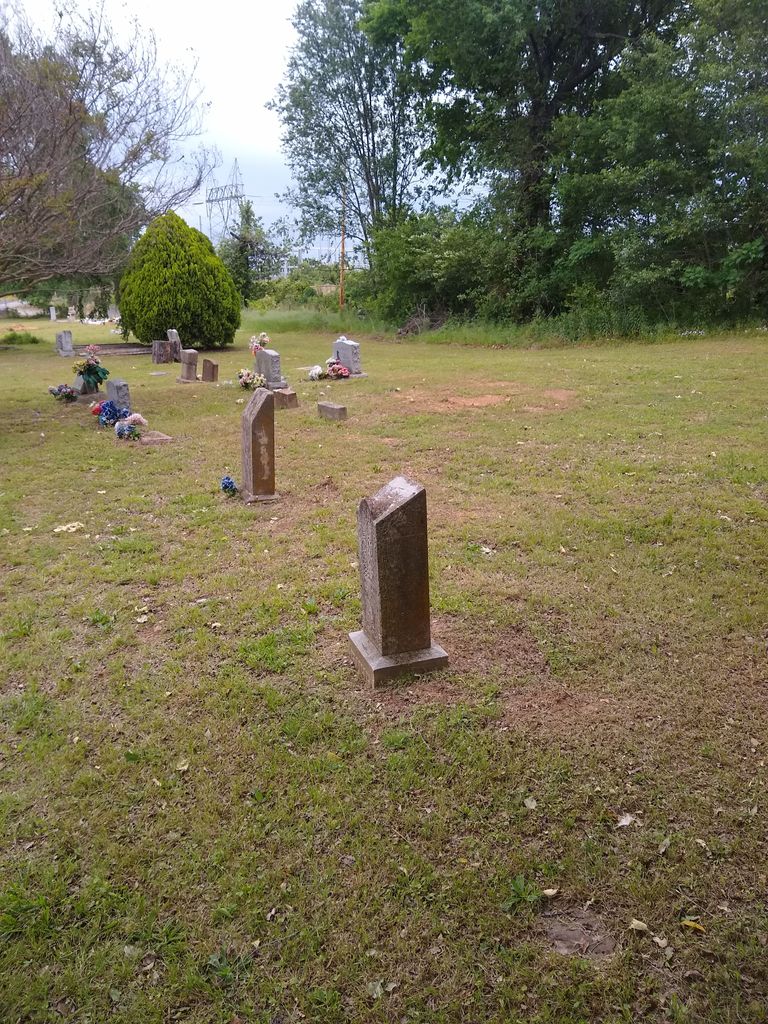
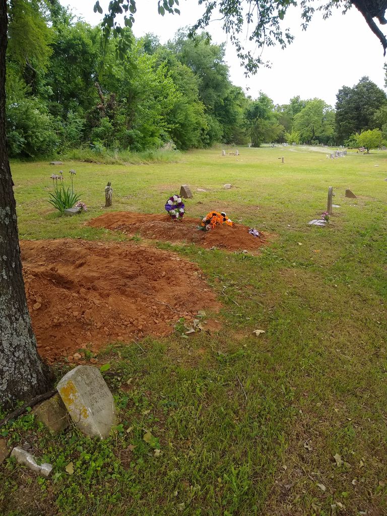
| Description | : | This cemetery is on the state line between Oklahoma and Arkansas. Part of the graves are in Oklahoma and the other part are in Arkansas. From Arkansas Hwy 271.. turning on Rutgers St. Follow until it ends at Texas Road and turn left. Cemetery is on the left. It started as Leard aka Laird Family cemetery located on a section of their farm in Arkansas. As it expanded,(abt 1/3 is in Arkansas) it crossed over the Oklahoma line .. the actual community in which it is located is Cavanaugh (Arkansas) which is abt 8 miles South Southwest of downtown Fort Smith... Read More |
frequently asked questions (FAQ):
-
Where is Leard Cemetery?
Leard Cemetery is located at Texas Road Le Flore County ,Oklahoma ,USA.
-
Leard Cemetery cemetery's updated grave count on graveviews.com?
5 memorials
-
Where are the coordinates of the Leard Cemetery?
Latitude: 35.2971500
Longitude: -94.4353900
Nearby Cemetories:
1. Elmwood Cemetery
Fort Smith, Sebastian County, USA
Coordinate: 35.3276430, -94.4112720
2. Stromberg Family Cemetery
Fort Smith, Sebastian County, USA
Coordinate: 35.3392160, -94.4309880
3. Booth Cemetery
Sebastian County, USA
Coordinate: 35.2601663, -94.4098570
4. White Bluff Cemetery
White Bluff, Sebastian County, USA
Coordinate: 35.2532997, -94.4242020
5. Woodlawn Memorial Park
Fort Smith, Sebastian County, USA
Coordinate: 35.3443300, -94.4329000
6. Falconer Cemetery
Fort Smith, Sebastian County, USA
Coordinate: 35.3374810, -94.3939300
7. Page Cemetery
Pocola, Le Flore County, USA
Coordinate: 35.2506100, -94.4766700
8. Lowrey-Rye Family Cemetery
Sebastian County, USA
Coordinate: 35.2622080, -94.3725250
9. Haug Cemetery
Bonanza, Sebastian County, USA
Coordinate: 35.2364273, -94.4125977
10. Grundy Memorial Cemetery
Bonanza, Sebastian County, USA
Coordinate: 35.2336540, -94.4179680
11. Saint Bartholomew Episcopal Church Garden
Fort Smith, Sebastian County, USA
Coordinate: 35.3571380, -94.3945150
12. Paw Paw Cemetery
Paw Paw, Sequoyah County, USA
Coordinate: 35.3274700, -94.5118700
13. Christ the King Catholic Church Columbarium
Fort Smith, Sebastian County, USA
Coordinate: 35.3641970, -94.4045960
14. Steep Hill Cemetery
Fort Smith, Sebastian County, USA
Coordinate: 35.2863998, -94.3480988
15. Goddard United Methodistb Church Columbarium
Fort Smith, Sebastian County, USA
Coordinate: 35.3720830, -94.4129730
16. Oak Cemetery
Fort Smith, Sebastian County, USA
Coordinate: 35.3694000, -94.4017029
17. Macedonia Cemetery
Pocola, Le Flore County, USA
Coordinate: 35.2385340, -94.4994380
18. Jewish Cemetery
Fort Smith, Sebastian County, USA
Coordinate: 35.3757000, -94.4176000
19. Calvary Cemetery
Fort Smith, Sebastian County, USA
Coordinate: 35.3764000, -94.4167023
20. Saint Scholastica Cemetery
Fort Smith, Sebastian County, USA
Coordinate: 35.3700890, -94.3842790
21. Immaculate Conception Catholic Columbarium
Fort Smith, Sebastian County, USA
Coordinate: 35.3828960, -94.4184930
22. Mountain View Cemetery
Hackett, Sebastian County, USA
Coordinate: 35.2125015, -94.4113998
23. Fort Smith National Cemetery
Fort Smith, Sebastian County, USA
Coordinate: 35.3838997, -94.4291992
24. First United Methodist Church Columbarium
Fort Smith, Sebastian County, USA
Coordinate: 35.3834560, -94.4150440