
| Memorials | : | 1 |
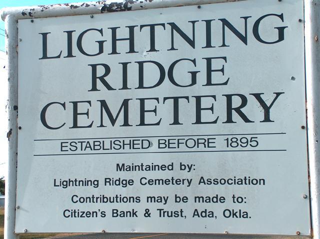
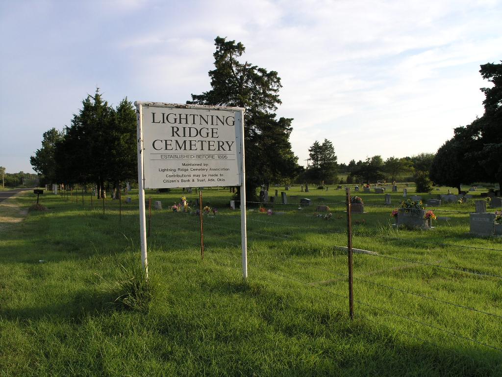
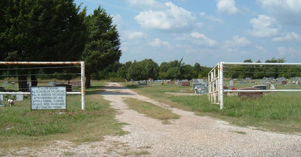
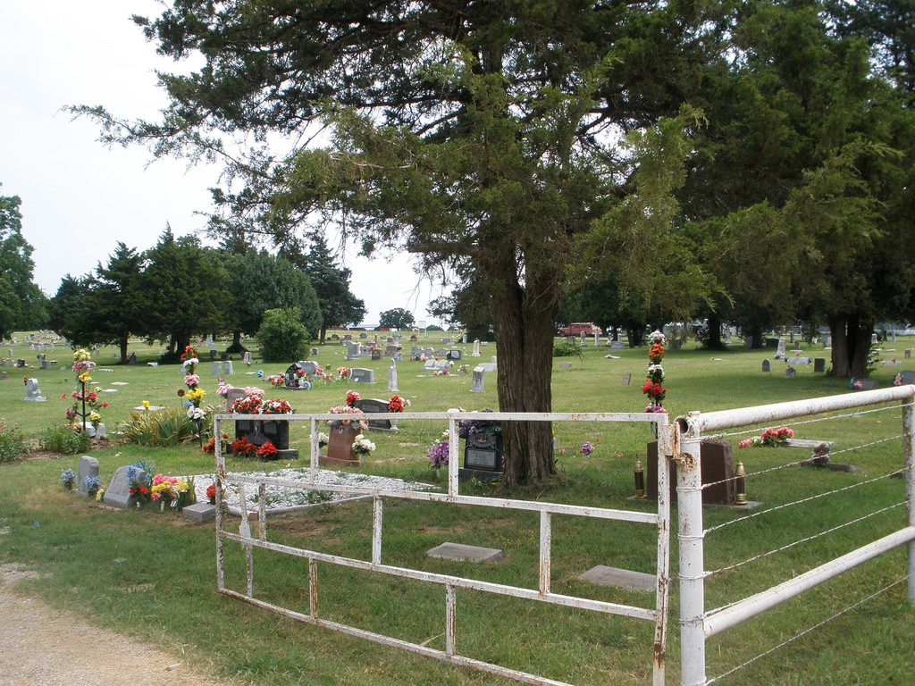
| Location | : | Roff, Pontotoc County, USA |
| Coordinate | : | 34.7111015, -96.8464966 |
| Description | : | On SH 19 (approx. 2 miles east of Stratford), turn south onto CR 3410. Go two miles and turn east onto CR 1550. Go one mile and turn south onto CR 3420. Go 4 4/10 mile and turn east onto CR 1590 (forced turn). Go three miles to CR 3460. Cemetery is on corner on CR 1590 and CR 3460. |
frequently asked questions (FAQ):
-
Where is Lightning Ridge Cemetery?
Lightning Ridge Cemetery is located at Roff, Pontotoc County ,Oklahoma ,USA.
-
Lightning Ridge Cemetery cemetery's updated grave count on graveviews.com?
1 memorials
-
Where are the coordinates of the Lightning Ridge Cemetery?
Latitude: 34.7111015
Longitude: -96.8464966
Nearby Cemetories:
1. Hart Cemetery
Roff, Pontotoc County, USA
Coordinate: 34.7125015, -96.9011002
2. Midland Cemetery
Vanoss, Pontotoc County, USA
Coordinate: 34.7532997, -96.8846970
3. Moss Cemetery
Center, Pontotoc County, USA
Coordinate: 34.7672200, -96.8553700
4. West Hill Cemetery
Roff, Pontotoc County, USA
Coordinate: 34.6264000, -96.8613968
5. East Hill Cemetery
Roff, Pontotoc County, USA
Coordinate: 34.6268997, -96.8218994
6. Center Cemetery
Center, Pontotoc County, USA
Coordinate: 34.8032990, -96.8317032
7. Athens Cemetery
Ada, Pontotoc County, USA
Coordinate: 34.7664600, -96.7480500
8. Corley Cemetery
Stratford, Garvin County, USA
Coordinate: 34.7233009, -96.9666977
9. Dolberg Cemetery
Roff, Pontotoc County, USA
Coordinate: 34.6224600, -96.9166100
10. Swan Hill Cemetery
Ada, Pontotoc County, USA
Coordinate: 34.7850100, -96.7337600
11. Memorial Park Cemetery
Ada, Pontotoc County, USA
Coordinate: 34.7839012, -96.7316971
12. Sandy Hill Cemetery
Pauls Valley, Garvin County, USA
Coordinate: 34.7397200, -97.0036100
13. Salem Presbyterian Cemetery
Sulphur, Murray County, USA
Coordinate: 34.6154800, -96.9663500
14. McGee Cemetery
Stratford, Garvin County, USA
Coordinate: 34.8256200, -96.9545100
15. North Hickory Cemetery
Ada, Pontotoc County, USA
Coordinate: 34.7831001, -96.6900024
16. Box X Cemetery
Bebee, Pontotoc County, USA
Coordinate: 34.8560982, -96.8058014
17. Saint Luke's Episcopal Church Columbarium
Ada, Pontotoc County, USA
Coordinate: 34.7685400, -96.6782400
18. Egypt Cemetery
Ada, Pontotoc County, USA
Coordinate: 34.8272018, -96.7285995
19. Puller Cemetery
Pontotoc County, USA
Coordinate: 34.7341995, -96.6611023
20. Hays Cemetery
Pontotoc County, USA
Coordinate: 34.7346916, -96.6606216
21. Rosedale Cemetery
Ada, Pontotoc County, USA
Coordinate: 34.7952995, -96.6866989
22. Hickory Cemetery
Hickory, Murray County, USA
Coordinate: 34.5539017, -96.8683014
23. Lizzie Keel Cemetery
Stratford, Garvin County, USA
Coordinate: 34.7922400, -97.0128800
24. Abney Cemetery
Garvin County, USA
Coordinate: 34.7821999, -97.0243988