
| Memorials | : | 8 |
| Location | : | Whitecloud, Nodaway County, USA |
| Coordinate | : | 40.1377983, -94.8756027 |
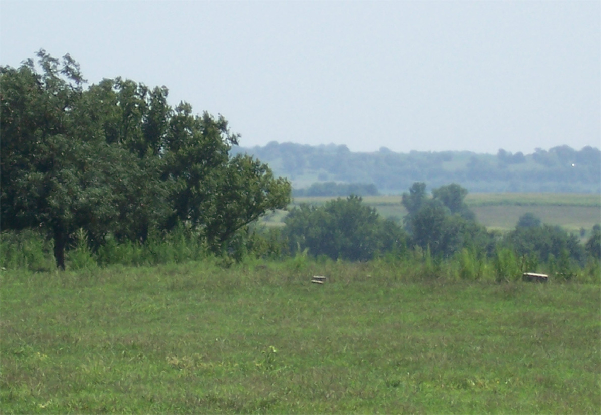
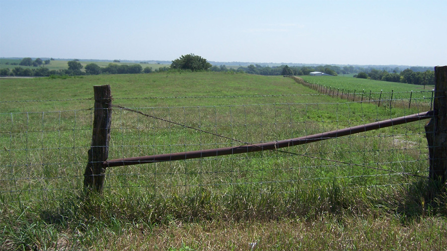
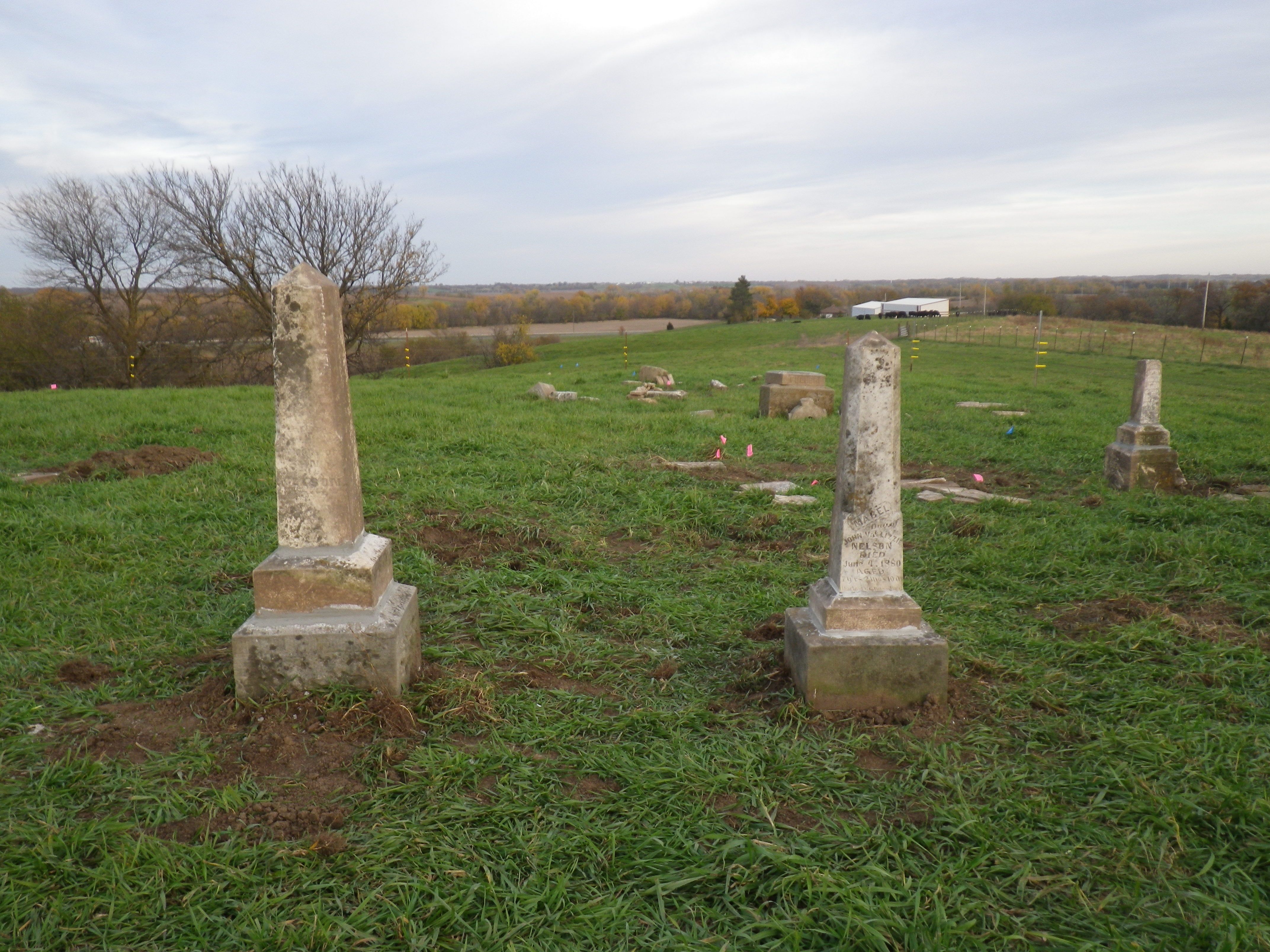
| Description | : | Litts Cemetery (if it can still be called that) lies in the middle of an open cow pasture. Most of the stones are broken or have rolled down the hill, as there is no fence around this cemetery and the cattle have pretty much destroyed it all. |
frequently asked questions (FAQ):
-
Where is Litts Cemetery?
Litts Cemetery is located at Whitecloud, Nodaway County ,Missouri ,USA.
-
Litts Cemetery cemetery's updated grave count on graveviews.com?
8 memorials
-
Where are the coordinates of the Litts Cemetery?
Latitude: 40.1377983
Longitude: -94.8756027
Nearby Cemetories:
1. Baker Cemetery
Barnard, Nodaway County, USA
Coordinate: 40.1660800, -94.8636600
2. Bolckow Cemetery
Bolckow, Andrew County, USA
Coordinate: 40.1131210, -94.8142929
3. Alumbaugh Cemetery
Barnard, Nodaway County, USA
Coordinate: 40.1843987, -94.8383026
4. Bethany Christian Church Cemetery
Graham, Nodaway County, USA
Coordinate: 40.1585388, -94.9461365
5. Centenary Cemetery
Graham, Nodaway County, USA
Coordinate: 40.1293907, -94.9546204
6. Barnard American Legion Cemetery
Barnard, Nodaway County, USA
Coordinate: 40.1839600, -94.8173828
7. Barnard Masonic-IOOF Cemetery
Barnard, Nodaway County, USA
Coordinate: 40.1845818, -94.8176727
8. Upper Neely Grove Cemetery
Bolckow, Andrew County, USA
Coordinate: 40.1083488, -94.7961807
9. McBrien Cemetery
Rosendale, Andrew County, USA
Coordinate: 40.0698900, -94.8589600
10. Salem Cemetery
Pumpkin Center, Nodaway County, USA
Coordinate: 40.2076721, -94.8683167
11. Jackson Cemetery
Barnard, Nodaway County, USA
Coordinate: 40.1561012, -94.7842026
12. Gravel Wall Cemetery
Andrew County, USA
Coordinate: 40.0672210, -94.9260280
13. Platte Valley Cemetery
Barnard, Nodaway County, USA
Coordinate: 40.1413994, -94.7692032
14. Pleasant Grove Cemetery
Pumpkin Center, Nodaway County, USA
Coordinate: 40.2188110, -94.8918610
15. Dysart Cemetery
Andrew County, USA
Coordinate: 40.0934900, -94.9738700
16. Lower Neely Grove Cemetery
Andrew County, USA
Coordinate: 40.0627594, -94.8138733
17. Shamberger Cemetery
Graham, Nodaway County, USA
Coordinate: 40.1652985, -94.9925003
18. Woodcock Cemetery
Bolckow, Andrew County, USA
Coordinate: 40.0815460, -94.9834260
19. Antioch Christian Church Cemetery
Savannah, Andrew County, USA
Coordinate: 40.0932700, -94.9938600
20. Walnut Grove Methodist Cemetery
Andrew County, USA
Coordinate: 40.0967598, -94.7518311
21. Sharp Cemetery
Barnard, Nodaway County, USA
Coordinate: 40.2176190, -94.7630450
22. Graves Cemetery
Guilford, Nodaway County, USA
Coordinate: 40.1730995, -94.7276764
23. Swan Chapel Cemetery
Graham, Nodaway County, USA
Coordinate: 40.2449417, -94.9421692
24. Groves Cemetery
Guilford, Nodaway County, USA
Coordinate: 40.1567001, -94.7221985