
| Memorials | : | 0 |
| Location | : | Shannondale, Clarion County, USA |
| Coordinate | : | 41.0621290, -79.2490830 |
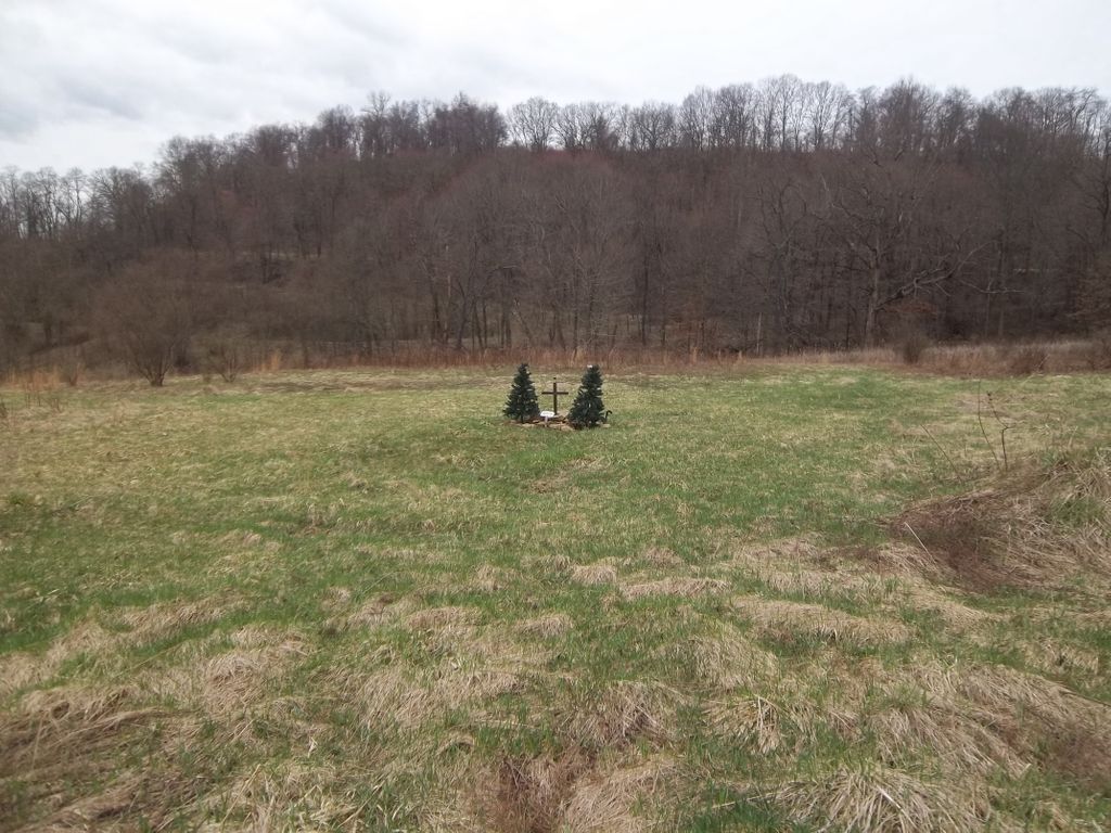
| Description | : | Living Church Cemetery is a new cemetery which is located in Redbank Township, Clarion County, Pennsylvania. From the bridge in New Bethlehem, Pa go north on Route 28 (toward Brookville) 6.7 miles, turn left onto Carriage Road TR 510 and go .1 mile, turn right onto Pine Run Road and go .3 mile. there is a road that goes left right thru a field, the cemetery is on the center right top of the hill behind a row of trees. This cemetery is just being developed and cannot be seen from Pine Run Road. |
frequently asked questions (FAQ):
-
Where is Living Church Cemetery?
Living Church Cemetery is located at Pine Run Road Shannondale, Clarion County ,Pennsylvania , 16240USA.
-
Living Church Cemetery cemetery's updated grave count on graveviews.com?
0 memorials
-
Where are the coordinates of the Living Church Cemetery?
Latitude: 41.0621290
Longitude: -79.2490830
Nearby Cemetories:
1. Paradise Cemetery
Shannondale, Clarion County, USA
Coordinate: 41.0842018, -79.2577972
2. Shannondale Union Cemetery
Shannondale, Clarion County, USA
Coordinate: 41.0827000, -79.2348000
3. Frazier Cemetery
Mayport, Clarion County, USA
Coordinate: 41.0720000, -79.2810000
4. Smith Cemetery
Heathville, Jefferson County, USA
Coordinate: 41.0867004, -79.1996994
5. Hawthorn Cemetery
Hawthorn, Clarion County, USA
Coordinate: 41.0225868, -79.2781982
6. Trinity Reformed Cemetery
Redbank Township, Armstrong County, USA
Coordinate: 41.0224700, -79.2152300
7. Emmanuel Evangelical Lutheran Cemetery
Redbank Township, Armstrong County, USA
Coordinate: 41.0177850, -79.2715500
8. Saint Nicholas Cemetery
Crates, Clarion County, USA
Coordinate: 41.1082993, -79.2675018
9. North Freedom United Methodist Church Cemetery
North Freedom, Jefferson County, USA
Coordinate: 41.0229073, -79.2080383
10. Zion Cemetery
Langville, Jefferson County, USA
Coordinate: 41.0539017, -79.1753006
11. Westview Cemetery
Summerville, Jefferson County, USA
Coordinate: 41.1096992, -79.2058029
12. Langville United Methodist Cemetery
Jefferson County, USA
Coordinate: 41.0373000, -79.1763000
13. Alcola Trinity Cemetery
Alcola, Clarion County, USA
Coordinate: 41.0126419, -79.2946396
14. Bethlehem Lutheran Cemetery
Ohl, Jefferson County, USA
Coordinate: 41.0583992, -79.1675415
15. Middle Run Cemetery
Alcola, Clarion County, USA
Coordinate: 41.0202100, -79.3104600
16. Vandervort Cemetery
Summerville, Jefferson County, USA
Coordinate: 41.1027985, -79.1828003
17. Ohl Cemetery
Ohl, Jefferson County, USA
Coordinate: 41.0833000, -79.1656000
18. Downs Cemetery
Frogtown, Clarion County, USA
Coordinate: 41.1216044, -79.2946898
19. Salem Cemetery
Frogtown, Clarion County, USA
Coordinate: 41.1060000, -79.3229000
20. New Salem Cemetery
Armstrong County, USA
Coordinate: 40.9887733, -79.2424927
21. Carrier Cemetery
Summerville, Jefferson County, USA
Coordinate: 41.1077995, -79.1691971
22. Leatherwood Cemetery
Leatherwood, Clarion County, USA
Coordinate: 41.0623000, -79.3534000
23. Mount Tabor Cemetery
Mount Tabor, Armstrong County, USA
Coordinate: 40.9866390, -79.2178760
24. Mount Zion Cemetery
Oak Ridge, Armstrong County, USA
Coordinate: 40.9951553, -79.3060226