| Memorials | : | 5 |
| Location | : | Oak Ridge, Armstrong County, USA |
| Coordinate | : | 40.9951553, -79.3060226 |
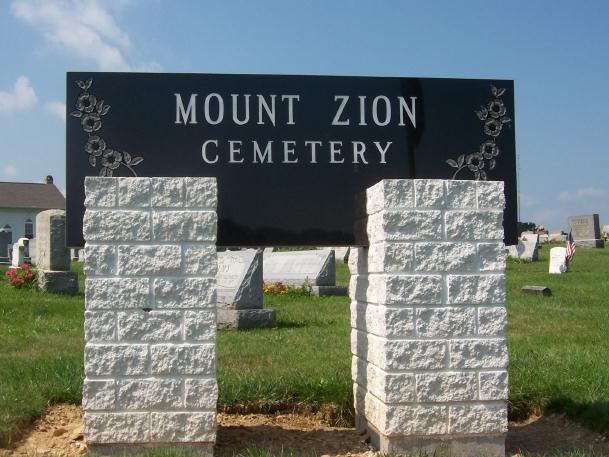
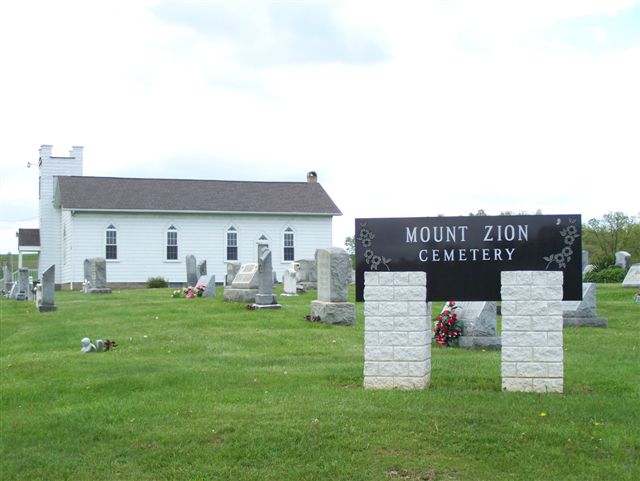
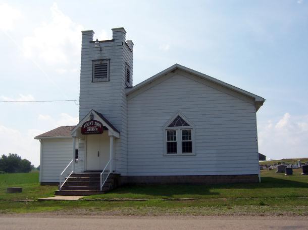
| Description | : | Directions: In New Bethlehem, Pennsylvania, from the intersection of Pennsylvania Route 28/66 North and Pennsylvania Route 839, take Route 839 South, for 0.94 miles to the intersection of Beautiful Lookout Road. Turn Left onto Beautiful Lookout Road and drive for 1.25 miles to the intersection of Ridge Road and Mt. Zion Road. The Church and Cemetery are at this intersection. |
frequently asked questions (FAQ):
-
Where is Mount Zion Cemetery?
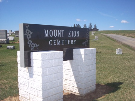
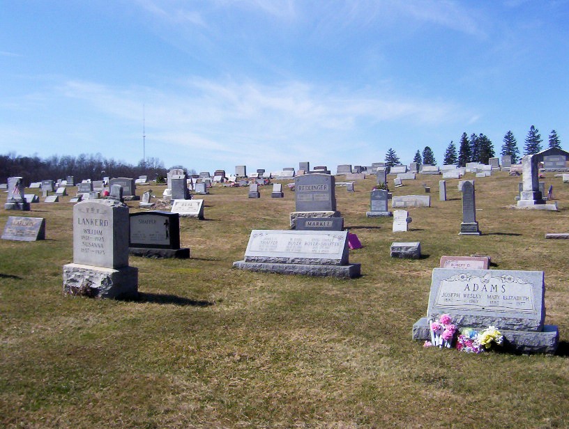
Mount Zion Cemetery is located at Oak Ridge, Armstrong County ,Pennsylvania , 16242USA.
-
Mount Zion Cemetery cemetery's updated grave count on graveviews.com?
5 memorials
-
Where are the coordinates of the Mount Zion Cemetery?
Latitude: 40.9951553
Longitude: -79.3060226
Nearby Cemetories:
1. Alcola Trinity Cemetery
Alcola, Clarion County, USA
Coordinate: 41.0126419, -79.2946396
2. New Bethlehem Cemetery
New Bethlehem, Clarion County, USA
Coordinate: 41.0079000, -79.3340000
3. Middle Run Cemetery
Alcola, Clarion County, USA
Coordinate: 41.0202100, -79.3104600
4. Saint Charles Cemetery
New Bethlehem, Clarion County, USA
Coordinate: 41.0036000, -79.3395000
5. Mudlic Cemetery
Charlestown, Armstrong County, USA
Coordinate: 40.9798490, -79.2758420
6. Emmanuel Evangelical Lutheran Cemetery
Redbank Township, Armstrong County, USA
Coordinate: 41.0177850, -79.2715500
7. Hawthorn Cemetery
Hawthorn, Clarion County, USA
Coordinate: 41.0225868, -79.2781982
8. Oakland Cemetery
Distant, Armstrong County, USA
Coordinate: 40.9712296, -79.3455124
9. Smullin Cemetery
Distant, Armstrong County, USA
Coordinate: 40.9626000, -79.3346000
10. New Salem Cemetery
Armstrong County, USA
Coordinate: 40.9887733, -79.2424927
11. Putneyville Cemetery
Putneyville, Armstrong County, USA
Coordinate: 40.9426370, -79.3132420
12. Saint Mark's Lutheran Church Cemetery
Eddyville, Armstrong County, USA
Coordinate: 40.9414139, -79.2808609
13. Narrows Cemetery
Mahoning, Armstrong County, USA
Coordinate: 40.9699000, -79.3839000
14. Mount Tabor Cemetery
Mount Tabor, Armstrong County, USA
Coordinate: 40.9866390, -79.2178760
15. Milliron Family Cemetery
Putneyville, Armstrong County, USA
Coordinate: 40.9268490, -79.2997460
16. Colwell Cemetery
Armstrong County, USA
Coordinate: 40.9394520, -79.3633680
17. McCreas Furnace Cemetery
McCrea Furnace, Armstrong County, USA
Coordinate: 40.9242060, -79.2952070
18. Trinity Reformed Cemetery
Redbank Township, Armstrong County, USA
Coordinate: 41.0224700, -79.2152300
19. Leatherwood Cemetery
Leatherwood, Clarion County, USA
Coordinate: 41.0623000, -79.3534000
20. Deanville Cemetery
Deanville, Armstrong County, USA
Coordinate: 40.9517700, -79.3919170
21. North Freedom United Methodist Church Cemetery
North Freedom, Jefferson County, USA
Coordinate: 41.0229073, -79.2080383
22. Frazier Cemetery
Mayport, Clarion County, USA
Coordinate: 41.0720000, -79.2810000
23. Living Church Cemetery
Shannondale, Clarion County, USA
Coordinate: 41.0621290, -79.2490830
24. Timblin United Methodist Cemetery
Timblin, Jefferson County, USA
Coordinate: 40.9665620, -79.2057910

