
| Memorials | : | 0 |
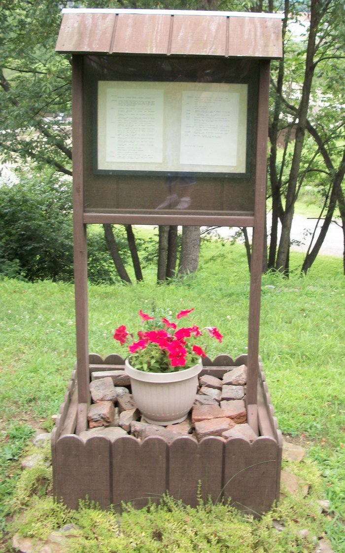
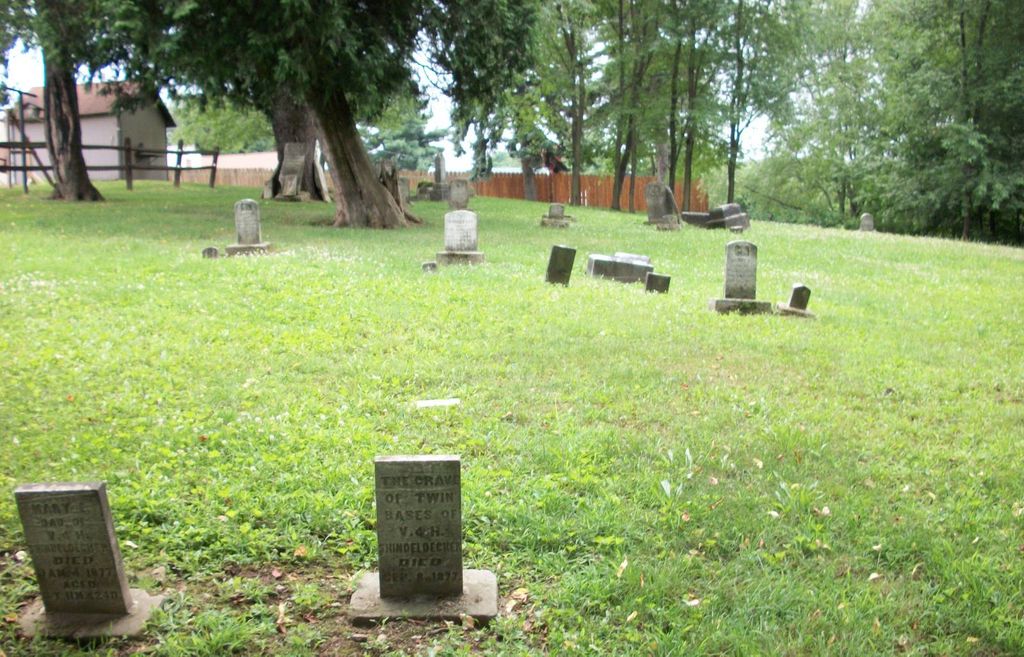
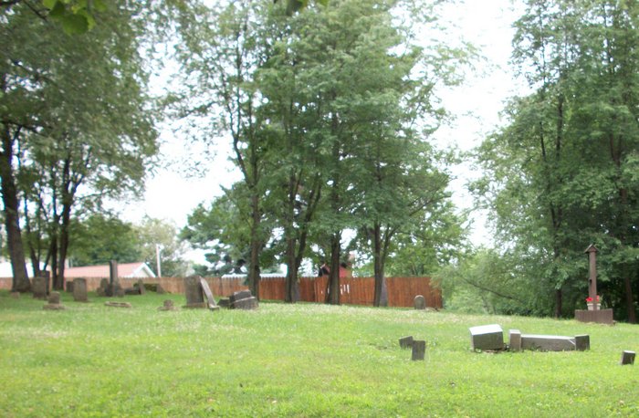
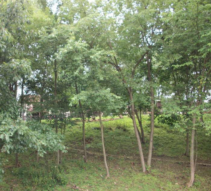
| Location | : | Redbank Township, Armstrong County, USA |
| Coordinate | : | 41.0177850, -79.2715500 |
| Description | : | Redbank Township |
frequently asked questions (FAQ):
-
Where is Emmanuel Evangelical Lutheran Cemetery?
Emmanuel Evangelical Lutheran Cemetery is located at Walker Flat Road Redbank Township, Armstrong County ,Pennsylvania ,USA.
-
Emmanuel Evangelical Lutheran Cemetery cemetery's updated grave count on graveviews.com?
0 memorials
-
Where are the coordinates of the Emmanuel Evangelical Lutheran Cemetery?
Latitude: 41.0177850
Longitude: -79.2715500
Nearby Cemetories:
1. Hawthorn Cemetery
Hawthorn, Clarion County, USA
Coordinate: 41.0225868, -79.2781982
2. Alcola Trinity Cemetery
Alcola, Clarion County, USA
Coordinate: 41.0126419, -79.2946396
3. Middle Run Cemetery
Alcola, Clarion County, USA
Coordinate: 41.0202100, -79.3104600
4. Mount Zion Cemetery
Oak Ridge, Armstrong County, USA
Coordinate: 40.9951553, -79.3060226
5. New Salem Cemetery
Armstrong County, USA
Coordinate: 40.9887733, -79.2424927
6. Mudlic Cemetery
Charlestown, Armstrong County, USA
Coordinate: 40.9798490, -79.2758420
7. Trinity Reformed Cemetery
Redbank Township, Armstrong County, USA
Coordinate: 41.0224700, -79.2152300
8. Living Church Cemetery
Shannondale, Clarion County, USA
Coordinate: 41.0621290, -79.2490830
9. New Bethlehem Cemetery
New Bethlehem, Clarion County, USA
Coordinate: 41.0079000, -79.3340000
10. North Freedom United Methodist Church Cemetery
North Freedom, Jefferson County, USA
Coordinate: 41.0229073, -79.2080383
11. Mount Tabor Cemetery
Mount Tabor, Armstrong County, USA
Coordinate: 40.9866390, -79.2178760
12. Saint Charles Cemetery
New Bethlehem, Clarion County, USA
Coordinate: 41.0036000, -79.3395000
13. Frazier Cemetery
Mayport, Clarion County, USA
Coordinate: 41.0720000, -79.2810000
14. Paradise Cemetery
Shannondale, Clarion County, USA
Coordinate: 41.0842018, -79.2577972
15. Shannondale Union Cemetery
Shannondale, Clarion County, USA
Coordinate: 41.0827000, -79.2348000
16. Timblin United Methodist Cemetery
Timblin, Jefferson County, USA
Coordinate: 40.9665620, -79.2057910
17. Oakland Cemetery
Distant, Armstrong County, USA
Coordinate: 40.9712296, -79.3455124
18. Smullin Cemetery
Distant, Armstrong County, USA
Coordinate: 40.9626000, -79.3346000
19. Langville United Methodist Cemetery
Jefferson County, USA
Coordinate: 41.0373000, -79.1763000
20. Saint James Lutheran Church Cemetery
Ringgold, Jefferson County, USA
Coordinate: 40.9864655, -79.1800613
21. Leatherwood Cemetery
Leatherwood, Clarion County, USA
Coordinate: 41.0623000, -79.3534000
22. Saint Mark's Lutheran Church Cemetery
Eddyville, Armstrong County, USA
Coordinate: 40.9414139, -79.2808609
23. Zion Cemetery
Langville, Jefferson County, USA
Coordinate: 41.0539017, -79.1753006
24. Putneyville Cemetery
Putneyville, Armstrong County, USA
Coordinate: 40.9426370, -79.3132420