
| Memorials | : | 0 |
| Location | : | Staines, Spelthorne Borough, England |
| Coordinate | : | 51.4380000, -0.4889100 |
frequently asked questions (FAQ):
-
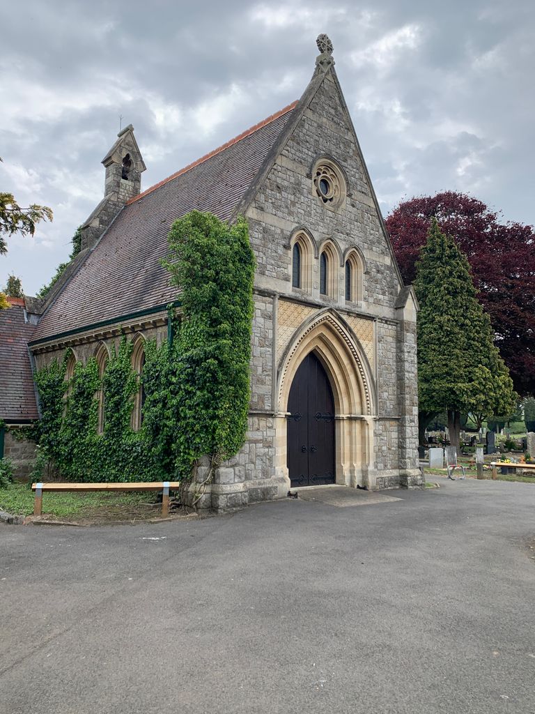
Where is London Road Cemetery?
London Road Cemetery is located at Staines, Spelthorne Borough ,Surrey ,England.
-
London Road Cemetery cemetery's updated grave count on graveviews.com?
0 memorials
-
Where are the coordinates of the London Road Cemetery?
Latitude: 51.4380000
Longitude: -0.4889100


Nearby Cemetories:
1. Stanwell Cemetery
Stanwell, Spelthorne Borough, England
Coordinate: 51.4523640, -0.4840770
2. Ashford Burial Ground
Staines, Spelthorne Borough, England
Coordinate: 51.4465100, -0.4677360
3. St. Mary's Churchyard
Staines, Spelthorne Borough, England
Coordinate: 51.4365400, -0.5191540
4. St Mary the Virgin
Stanwell, Spelthorne Borough, England
Coordinate: 51.4564840, -0.4799090
5. Saint Matthew's Churchyard
Ashford, Spelthorne Borough, England
Coordinate: 51.4321830, -0.4588780
6. All Saints Churchyard
Laleham, Spelthorne Borough, England
Coordinate: 51.4091880, -0.4898680
7. Bedfont Cemetery
Hounslow, London Borough of Hounslow, England
Coordinate: 51.4456070, -0.4417530
8. St. Mary the Virgin Churchyard
Bedfont, London Borough of Hounslow, England
Coordinate: 51.4516870, -0.4410940
9. HM Prison Feltham
Feltham, London Borough of Hounslow, England
Coordinate: 51.4407443, -0.4335965
10. St. John the Baptist Churchyard
Egham, Runnymede Borough, England
Coordinate: 51.4327120, -0.5443380
11. St Mary Magdelene Churchyard
Littleton, Spelthorne Borough, England
Coordinate: 51.4066940, -0.4618950
12. St Marys Churchyard
Thorpe, Runnymede Borough, England
Coordinate: 51.4075720, -0.5293820
13. Feltham Cemetery
Feltham, London Borough of Hounslow, England
Coordinate: 51.4373100, -0.4230600
14. St Dunstan's Churchyard
Feltham, London Borough of Hounslow, England
Coordinate: 51.4386370, -0.4208470
15. Chertsey Abbey (Defunct)
Chertsey, Runnymede Borough, England
Coordinate: 51.3950000, -0.5031000
16. St. Peter's Churchyard
Chertsey, Runnymede Borough, England
Coordinate: 51.3924010, -0.5036640
17. St Michael's Churchyard
Horton, Aylesbury Vale District, England
Coordinate: 51.4725400, -0.5402620
18. St Michael Churchyard
Horton, Windsor and Maidenhead Royal Borough, England
Coordinate: 51.4728500, -0.5403800
19. Runnymede Memorial
Englefield Green, Runnymede Borough, England
Coordinate: 51.4378433, -0.5649990
20. Saint Andrew's Churchyard
Wraysbury, Windsor and Maidenhead Royal Borough, England
Coordinate: 51.4558200, -0.5600900
21. Saint Thomas Churchyard
Colnbrook, Slough Borough, England
Coordinate: 51.4845890, -0.5219910
22. St. Mary's Churchyard
Harmondsworth, London Borough of Hillingdon, England
Coordinate: 51.4893460, -0.4791020
23. Harmondsworth Burial Ground
West Drayton, London Borough of Hillingdon, England
Coordinate: 51.4894030, -0.4775890
24. Englefield Green Cemetery
Englefield Green, Runnymede Borough, England
Coordinate: 51.4273640, -0.5730490