| Memorials | : | 0 |
| Location | : | Santa Maria, Cameron County, USA |
| Coordinate | : | 26.0516000, -97.7817900 |
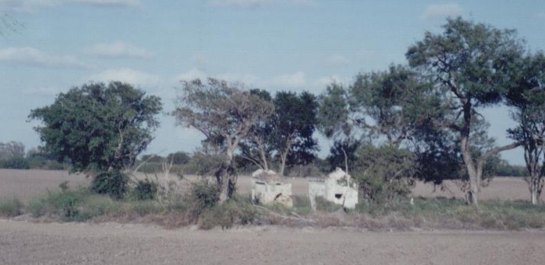
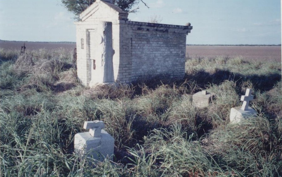
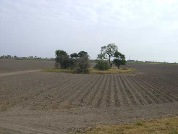
| Description | : | Going west on Military Highway (TX 281), turn left onto Cannon Road. This is opposite the picnic area and historic site with the cannon. This is a dirt road through a field and should not be attempted after a rain. Go south to the levee and up onto the levee. Turn left on the levee and go 0.3 miles. The cemetery will appear down on your left in a grove of trees. You will have to walk down off the levee and about 200 feet across the field. This cemetery has been granted Texas Historic Cemetery status, but the bronze... Read More |
frequently asked questions (FAQ):
-
Where is Los Alamos Cemetery at Galveston Ranch?
Los Alamos Cemetery at Galveston Ranch is located at Santa Maria, Cameron County ,Texas ,USA.
-
Los Alamos Cemetery at Galveston Ranch cemetery's updated grave count on graveviews.com?
0 memorials
-
Where are the coordinates of the Los Alamos Cemetery at Galveston Ranch?
Latitude: 26.0516000
Longitude: -97.7817900
Nearby Cemetories:
1. Moreno Cemetery
Los Indios, Cameron County, USA
Coordinate: 26.0535600, -97.7700400
2. Weaver Family Cemetery
Las Rusias, Cameron County, USA
Coordinate: 26.0535600, -97.7700400
3. Weaver I Cemetery
Los Indios, Cameron County, USA
Coordinate: 26.0657650, -97.7687070
4. Las Rucias Memorial Cemetery
Las Rusias, Cameron County, USA
Coordinate: 26.0540300, -97.7592500
5. Juan Ramiro Garcia Family Cemetery
Las Rusias, Cameron County, USA
Coordinate: 26.0526000, -97.7556900
6. Cementerio de Rancho Viejo
Rancho Viejo, Matamoros Municipality, Mexico
Coordinate: 26.0223170, -97.7721410
7. Aguilar Cemetery
Las Rusias, Cameron County, USA
Coordinate: 26.0566200, -97.7482400
8. Los Indios Cemetery
Los Indios, Cameron County, USA
Coordinate: 26.0507400, -97.7472500
9. Panteón de Soliseño
Soliseno, Matamoros Municipality, Mexico
Coordinate: 26.0228710, -97.8024680
10. Zamaniego Family Cemetery
Bluetown, Cameron County, USA
Coordinate: 26.0740920, -97.8180170
11. Longoria Cemetery
Bluetown, Cameron County, USA
Coordinate: 26.0739500, -97.8248000
12. Gomez Cemetery
Los Indios, Cameron County, USA
Coordinate: 26.0462960, -97.7170370
13. Champion Cemetery
Santa Maria, Cameron County, USA
Coordinate: 26.0720400, -97.8467200
14. Palm In Field Cemetery
Carricitos, Cameron County, USA
Coordinate: 26.0442510, -97.7071330
15. Garcia Cemetery
Ranchito, Cameron County, USA
Coordinate: 26.0455250, -97.6993560
16. Landrum Cemetery
Los Indios, Cameron County, USA
Coordinate: 26.0453400, -97.6977600
17. Jose Padilla Grave
San Benito, Cameron County, USA
Coordinate: 26.1028670, -97.6931700
18. La Paloma Cemetery
La Paloma, Cameron County, USA
Coordinate: 26.0451170, -97.6710500
19. Agado Family Cemetery
San Benito, Cameron County, USA
Coordinate: 26.1118200, -97.6914000
20. Restlawn Memorial Park
La Feria, Cameron County, USA
Coordinate: 26.1653004, -97.7968979
21. Heavenly Grace Memorial Park
La Feria, Cameron County, USA
Coordinate: 26.1686783, -97.8009186
22. Escamilla Family Cemetery
Ranchito, Cameron County, USA
Coordinate: 26.0343900, -97.6506100
23. El Calaboz Cemetery
Ranchito, Cameron County, USA
Coordinate: 26.0340800, -97.6503200
24. Escamilla Cemetery
El Calaboz, Cameron County, USA
Coordinate: 26.0340800, -97.6503200


