
| Memorials | : | 0 |
| Location | : | Carricitos, Cameron County, USA |
| Coordinate | : | 26.0442510, -97.7071330 |
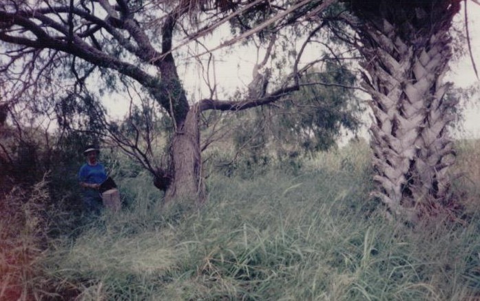
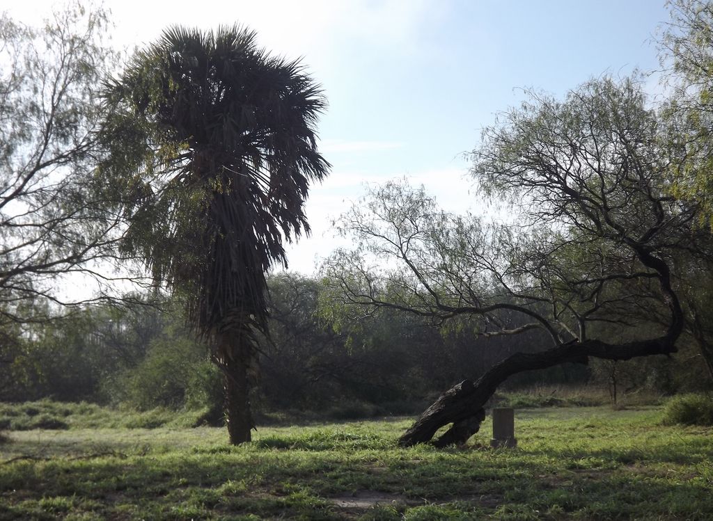
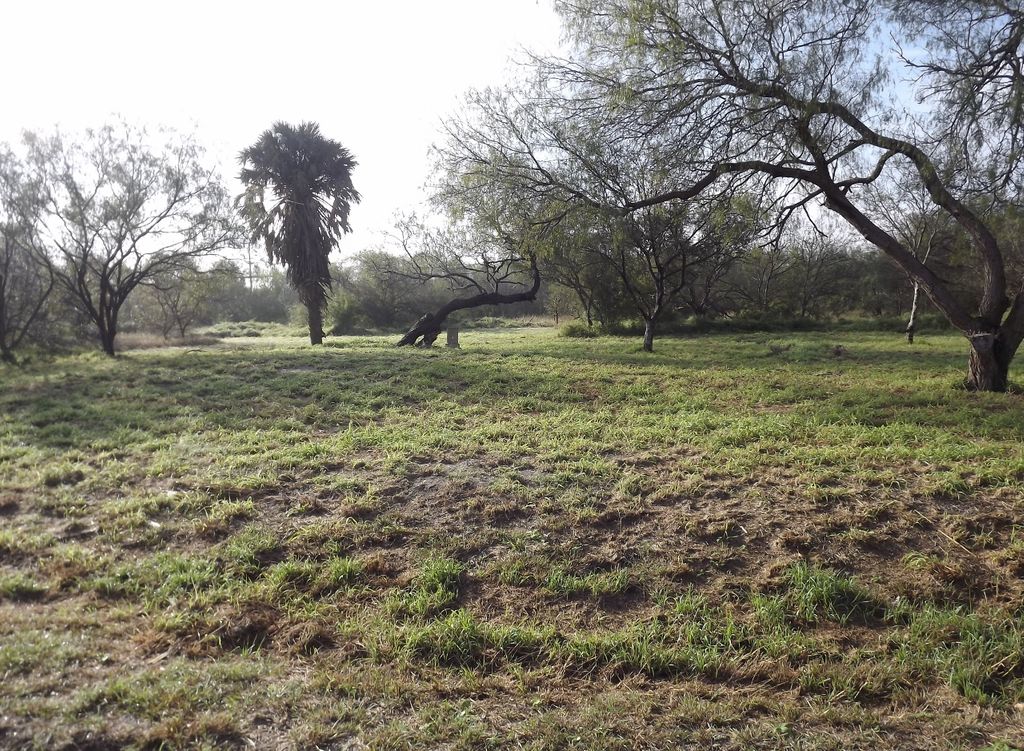
| Description | : | The single remaining headstone is located about 1.5 miles west of FM 2550 (Sam Houston Blvd.) on the south side of Military Highway 281. It could be found in 2001 by locating the lone palm tree in the field. No name could be found for the cemetery, and it was identified by this name by the Texas Historical Commission. A Texas Historical Marker has been issued for the cemetery. |
frequently asked questions (FAQ):
-
Where is Palm In Field Cemetery?
Palm In Field Cemetery is located at Carricitos, Cameron County ,Texas ,USA.
-
Palm In Field Cemetery cemetery's updated grave count on graveviews.com?
0 memorials
-
Where are the coordinates of the Palm In Field Cemetery?
Latitude: 26.0442510
Longitude: -97.7071330
Nearby Cemetories:
1. Garcia Cemetery
Ranchito, Cameron County, USA
Coordinate: 26.0455250, -97.6993560
2. Landrum Cemetery
Los Indios, Cameron County, USA
Coordinate: 26.0453400, -97.6977600
3. Gomez Cemetery
Los Indios, Cameron County, USA
Coordinate: 26.0462960, -97.7170370
4. La Paloma Cemetery
La Paloma, Cameron County, USA
Coordinate: 26.0451170, -97.6710500
5. Los Indios Cemetery
Los Indios, Cameron County, USA
Coordinate: 26.0507400, -97.7472500
6. Aguilar Cemetery
Las Rusias, Cameron County, USA
Coordinate: 26.0566200, -97.7482400
7. Juan Ramiro Garcia Family Cemetery
Las Rusias, Cameron County, USA
Coordinate: 26.0526000, -97.7556900
8. Las Rucias Memorial Cemetery
Las Rusias, Cameron County, USA
Coordinate: 26.0540300, -97.7592500
9. Escamilla Family Cemetery
Ranchito, Cameron County, USA
Coordinate: 26.0343900, -97.6506100
10. El Calaboz Cemetery
Ranchito, Cameron County, USA
Coordinate: 26.0340800, -97.6503200
11. Escamilla Cemetery
El Calaboz, Cameron County, USA
Coordinate: 26.0340800, -97.6503200
12. Moreno Cemetery
Los Indios, Cameron County, USA
Coordinate: 26.0535600, -97.7700400
13. Weaver Family Cemetery
Las Rusias, Cameron County, USA
Coordinate: 26.0535600, -97.7700400
14. Weaver I Cemetery
Los Indios, Cameron County, USA
Coordinate: 26.0657650, -97.7687070
15. Jose Padilla Grave
San Benito, Cameron County, USA
Coordinate: 26.1028670, -97.6931700
16. Cementerio de Rancho Viejo
Rancho Viejo, Matamoros Municipality, Mexico
Coordinate: 26.0223170, -97.7721410
17. Old Garcia Cemetery
Ranchito, Cameron County, USA
Coordinate: 26.0260800, -97.6399200
18. Vasquez Cemetery
Ranchito, Cameron County, USA
Coordinate: 26.0267700, -97.6358400
19. Avalos Family Cemetery
Ranchito, Cameron County, USA
Coordinate: 26.0267650, -97.6358410
20. Zepeda Cemetery
Ranchito, Cameron County, USA
Coordinate: 26.0269500, -97.6351800
21. Los Alamos Cemetery at Galveston Ranch
Santa Maria, Cameron County, USA
Coordinate: 26.0516000, -97.7817900
22. Agado Family Cemetery
San Benito, Cameron County, USA
Coordinate: 26.1118200, -97.6914000
23. Sanchez Cemetery
Ranchito, Cameron County, USA
Coordinate: 26.0263000, -97.6323300
24. Esparza Cemetery
Cameron County, USA
Coordinate: 26.0245400, -97.6270200