
| Memorials | : | 28 |
| Location | : | Louisville, Jefferson County, USA |
| Phone | : | (502) 241-8424 |
| Website | : | www.louisvillememorialgardens.com |
| Coordinate | : | 38.3196983, -85.5307999 |
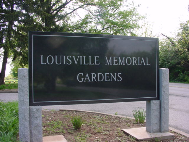
| Description | : | The cemetery is located on the northwest corner of the intersection of Ballardsville Road (State Highway 22) and Haunz Lane. The U.S. Geological Survey (USGS) Geographic Names Information System (GNIS) feature ID for the cemetery is 497210 (Louisville Memorial Gardens). Although the cemetery is in Jefferson County, this cemetery is identified as cemetery # 179 (Louisville Memorial Gardens East Cemetery) by the Oldham County Historical Society. |
frequently asked questions (FAQ):
-
Where is Louisville Memorial Gardens East?
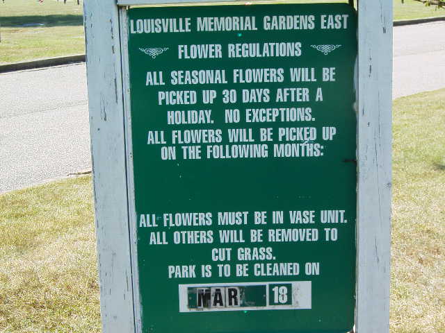
Louisville Memorial Gardens East is located at 11601 Ballardsville Road Louisville, Jefferson County ,Kentucky , 40241USA.
-
Louisville Memorial Gardens East cemetery's updated grave count on graveviews.com?
23 memorials
-
Where are the coordinates of the Louisville Memorial Gardens East?
Latitude: 38.3196983
Longitude: -85.5307999
Nearby Cemetories:
1. Ballardsville Church Cemetery
Louisville, Jefferson County, USA
Coordinate: 38.3129040, -85.5404710
2. Goldstein Cemetery
Louisville, Jefferson County, USA
Coordinate: 38.3086410, -85.5211130
3. Williams-Phillips Cemetery
Fincastle, Jefferson County, USA
Coordinate: 38.3044720, -85.5340540
4. Babbitt Cemetery
Crestwood, Oldham County, USA
Coordinate: 38.3428890, -85.5265830
5. Souther Cemetery
Pewee Valley, Oldham County, USA
Coordinate: 38.3115830, -85.4988890
6. Saint Aloysius Cemetery
Pewee Valley, Oldham County, USA
Coordinate: 38.3185800, -85.4967200
7. Ross Cemetery
Crestwood, Oldham County, USA
Coordinate: 38.3493060, -85.5390280
8. Taylor Cemetery
Brownsboro, Oldham County, USA
Coordinate: 38.3399730, -85.5629830
9. Saint James Episcopal Church Cemetery
Pewee Valley, Oldham County, USA
Coordinate: 38.3131530, -85.4847110
10. Hardin Cemetery
Goshen, Oldham County, USA
Coordinate: 38.3583610, -85.5471670
11. Harding Cemetery
Buckner, Oldham County, USA
Coordinate: 38.3605280, -85.5353330
12. Brownsboro Cemetery
Brownsboro, Oldham County, USA
Coordinate: 38.3552780, -85.5003060
13. Barbour-Ewing Cemetery
River Bluff, Oldham County, USA
Coordinate: 38.3491940, -85.5716940
14. Netherton - Pinnell Cemetery
River Bluff, Oldham County, USA
Coordinate: 38.3599170, -85.5543610
15. Harrods Creek Cemetery
Brownsboro, Oldham County, USA
Coordinate: 38.3607600, -85.5063800
16. Confederate Cemetery
Pewee Valley, Oldham County, USA
Coordinate: 38.3032990, -85.4760971
17. Pewee Valley East Cemetery
Pewee Valley, Oldham County, USA
Coordinate: 38.3044444, -85.4752778
18. Pewee Valley Cemetery
Pewee Valley, Oldham County, USA
Coordinate: 38.3044014, -85.4749985
19. Saint Thomas Episcopal Church Meditation Garden
Jefferson County, USA
Coordinate: 38.2861100, -85.5743700
20. Clore Cemetery
Brownsboro, Oldham County, USA
Coordinate: 38.3526670, -85.4862500
21. Steele Cemetery
Goshen, Oldham County, USA
Coordinate: 38.3370560, -85.5886940
22. Hobbs Cemetery
Anchorage, Jefferson County, USA
Coordinate: 38.2693830, -85.5375670
23. Shirley Cemetery
Brownsboro, Oldham County, USA
Coordinate: 38.3586390, -85.4895830
24. Allen Cemetery
Louisville, Jefferson County, USA
Coordinate: 38.2893030, -85.4784340