
| Memorials | : | 0 |
| Location | : | Sheffield, Metropolitan Borough of Sheffield, England |
| Coordinate | : | 53.4074490, -1.5459890 |
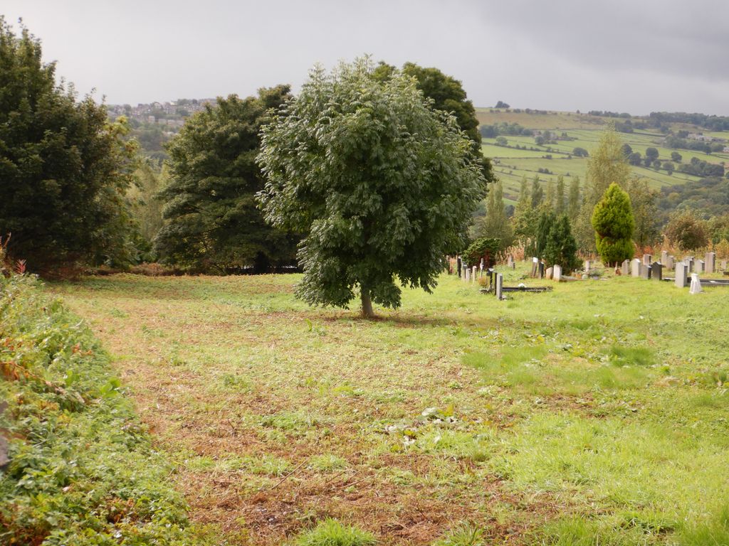
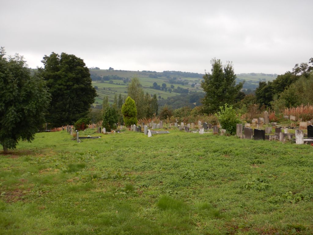
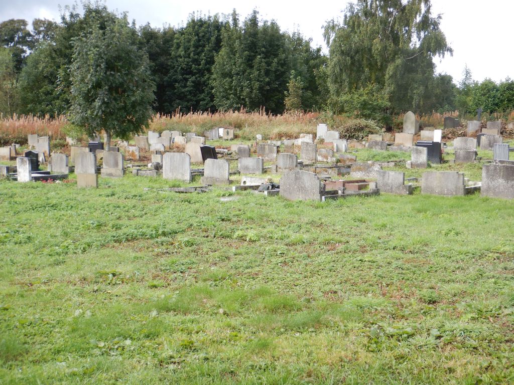
| Description | : | Loxley Church (originally Loxley Congregational Chapel) and Cemetery date back to the late 18th Century, and the cemetery is still open for burials in existing plots, although no further plots are being sold. The church closed in 1993 with the building gradually deteriorating into a ruinous state over the years. The churchyard which surrounds the church on three sides has become seriously overgrown. The Friends of Loxley Cemetery group was formed in 2019 with the aims of restoring the area to provide safe access for visitors, to maintain the aesthetics and environmental integrity, and to provide access to its historical... Read More |
frequently asked questions (FAQ):
-
Where is Loxley United Reformed Chapelyard?
Loxley United Reformed Chapelyard is located at Loxley Road Metropolitan Borough of Sheffield ,South Yorkshire ,England.
-
Loxley United Reformed Chapelyard cemetery's updated grave count on graveviews.com?
0 memorials
-
Where are the coordinates of the Loxley United Reformed Chapelyard?
Latitude: 53.4074490
Longitude: -1.5459890
Nearby Cemetories:
1. Loxley United Reformed Church
Bradfield, Metropolitan Borough of Sheffield, England
Coordinate: 53.4074084, -1.5456459
2. Wisewood Cemetery
Sheffield, Metropolitan Borough of Sheffield, England
Coordinate: 53.4038050, -1.5401300
3. Stannington Methodist Churchyard
Stannington, Metropolitan Borough of Sheffield, England
Coordinate: 53.3939340, -1.5454460
4. Underbank Unitarian Chapel
High Bradfield, Metropolitan Borough of Sheffield, England
Coordinate: 53.3942504, -1.5554100
5. Stannington Unitarian Chapel
Stannington, Metropolitan Borough of Sheffield, England
Coordinate: 53.3941350, -1.5556060
6. Christ Church Churchyard
Stannington, Metropolitan Borough of Sheffield, England
Coordinate: 53.3918830, -1.5469320
7. Wadsley Churchyard
Sheffield, Metropolitan Borough of Sheffield, England
Coordinate: 53.4120290, -1.5181790
8. Birtin Cemetery
Oughtibridge, Metropolitan Borough of Sheffield, England
Coordinate: 53.4295900, -1.5485600
9. St Michael's Roman Catholic Cemetery
Sheffield, Metropolitan Borough of Sheffield, England
Coordinate: 53.3916300, -1.5162800
10. Rivelin Jewish Cemetery
Sheffield, Metropolitan Borough of Sheffield, England
Coordinate: 53.3914480, -1.5149920
11. St Mary Churchyard
Walkley, Metropolitan Borough of Sheffield, England
Coordinate: 53.3907127, -1.5148580
12. Hillsborough Walled Garden Memorials
Hillsborough, Metropolitan Borough of Sheffield, England
Coordinate: 53.4071221, -1.5039054
13. Church of the Ascension
Oughtibridge, Metropolitan Borough of Sheffield, England
Coordinate: 53.4349330, -1.5422590
14. Hillsborough Barracks Chapel Courtyard
Hillsborough, Metropolitan Borough of Sheffield, England
Coordinate: 53.4013100, -1.4980900
15. Crookes Cemetery
Sheffield, Metropolitan Borough of Sheffield, England
Coordinate: 53.3816730, -1.5168480
16. Wardsend Cemetery
Sheffield, Metropolitan Borough of Sheffield, England
Coordinate: 53.4086120, -1.4895330
17. St Thomas Churchyard
Sheffield, Metropolitan Borough of Sheffield, England
Coordinate: 53.3822200, -1.5072200
18. Grenoside Crematorium
Grenoside, Metropolitan Borough of Sheffield, England
Coordinate: 53.4375860, -1.5087020
19. Saint Nicholas Churchyard
High Bradfield, Metropolitan Borough of Sheffield, England
Coordinate: 53.4291200, -1.5991120
20. Christ Church Churchyard
Fulwood, Metropolitan Borough of Sheffield, England
Coordinate: 53.3650063, -1.5426844
21. St. Philip's Churchyard
Sheffield, Metropolitan Borough of Sheffield, England
Coordinate: 53.3898180, -1.4789820
22. Saint George's Churchyard
Sheffield, Metropolitan Borough of Sheffield, England
Coordinate: 53.3817960, -1.4807190
23. Christ Church Pitsmoor
Sheffield, Metropolitan Borough of Sheffield, England
Coordinate: 53.3969748, -1.4673422
24. The Well Sheffield Baptist Church
Sheffield, Metropolitan Borough of Sheffield, England
Coordinate: 53.3684415, -1.4989121