
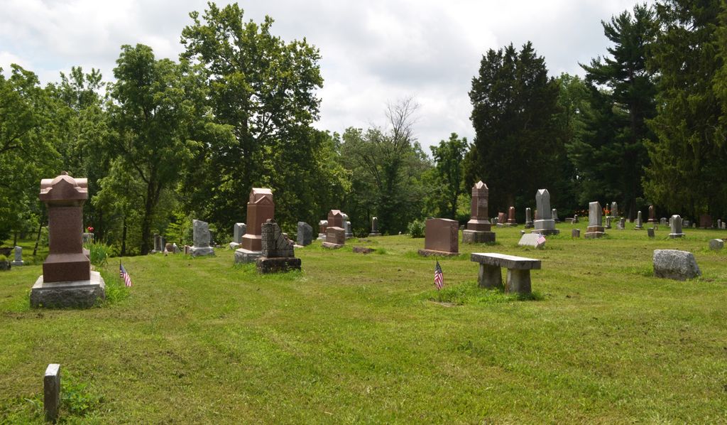
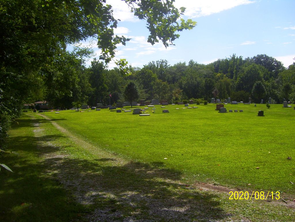
| Memorials | : | 8 |
| Location | : | Whitestown, Boone County, USA |
| Coordinate | : | 40.0073433, -86.2995148 |
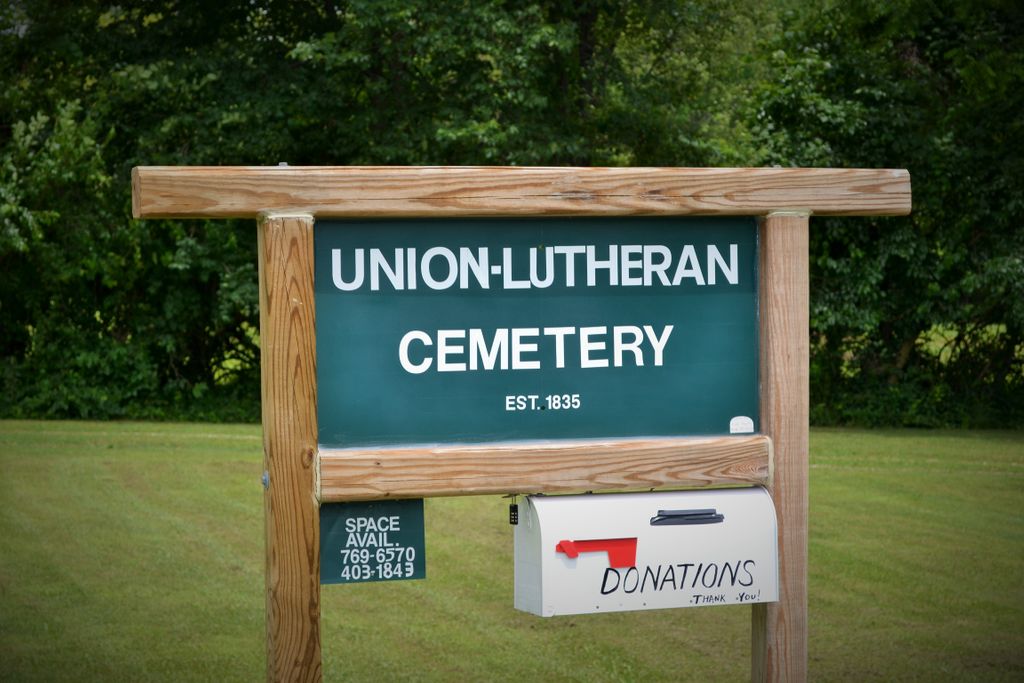
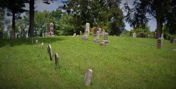
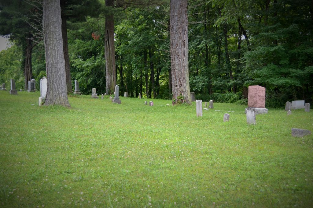
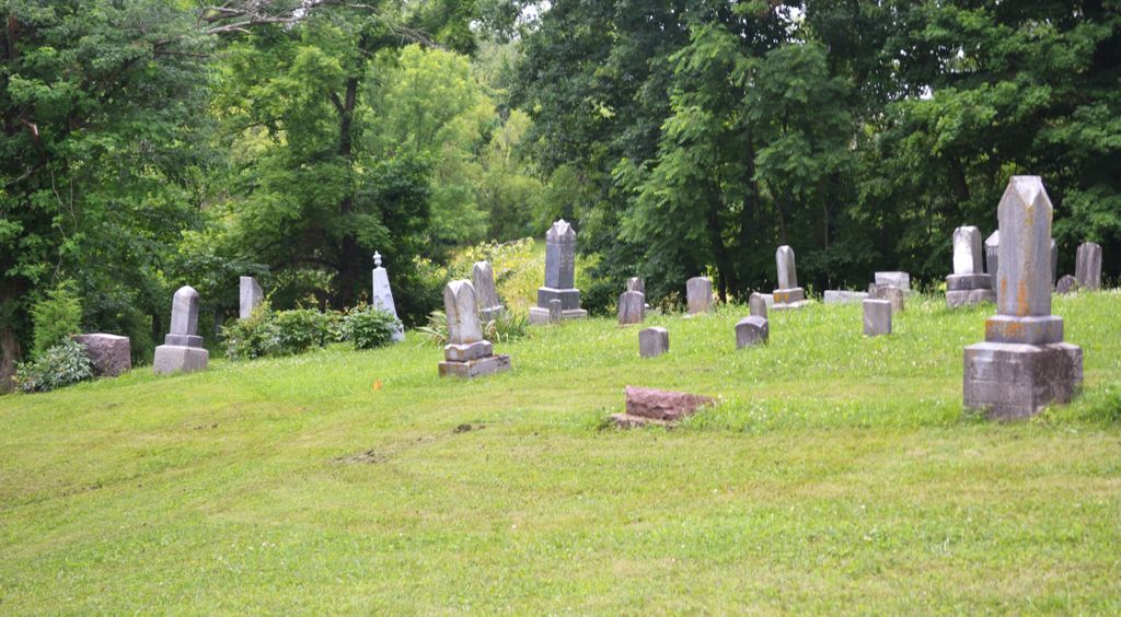
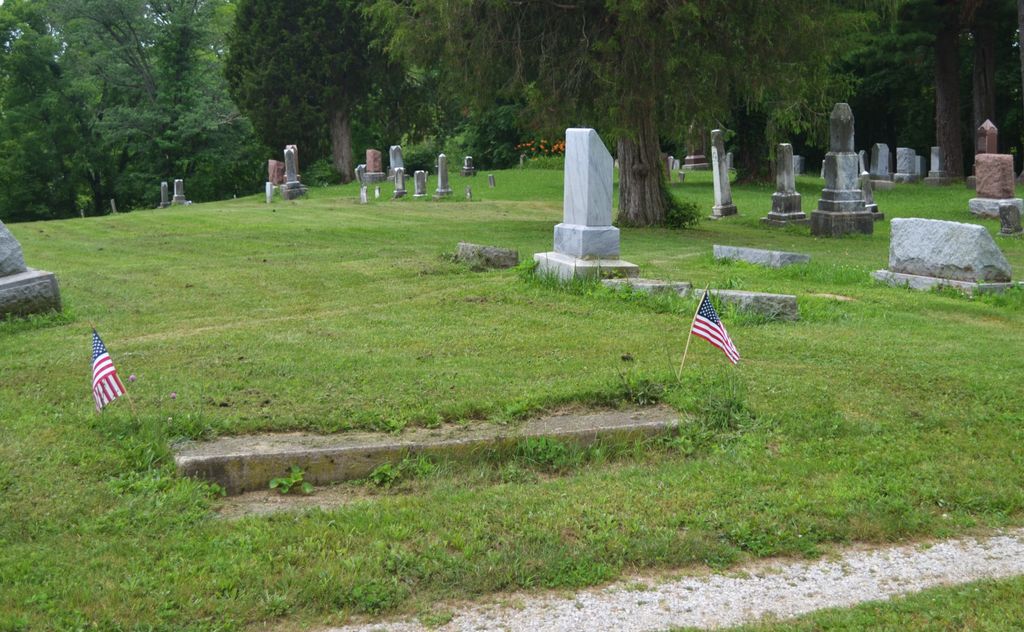
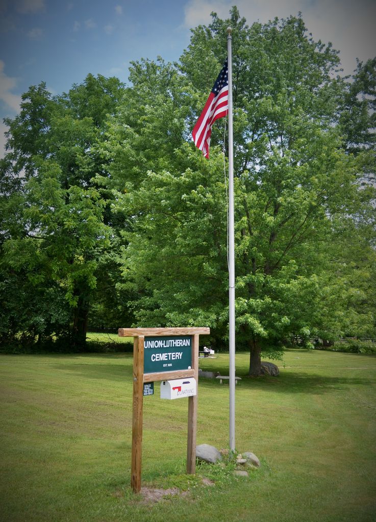
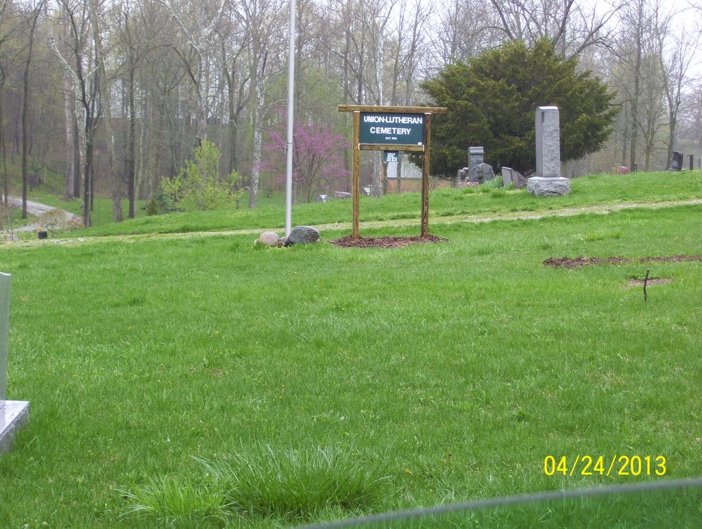
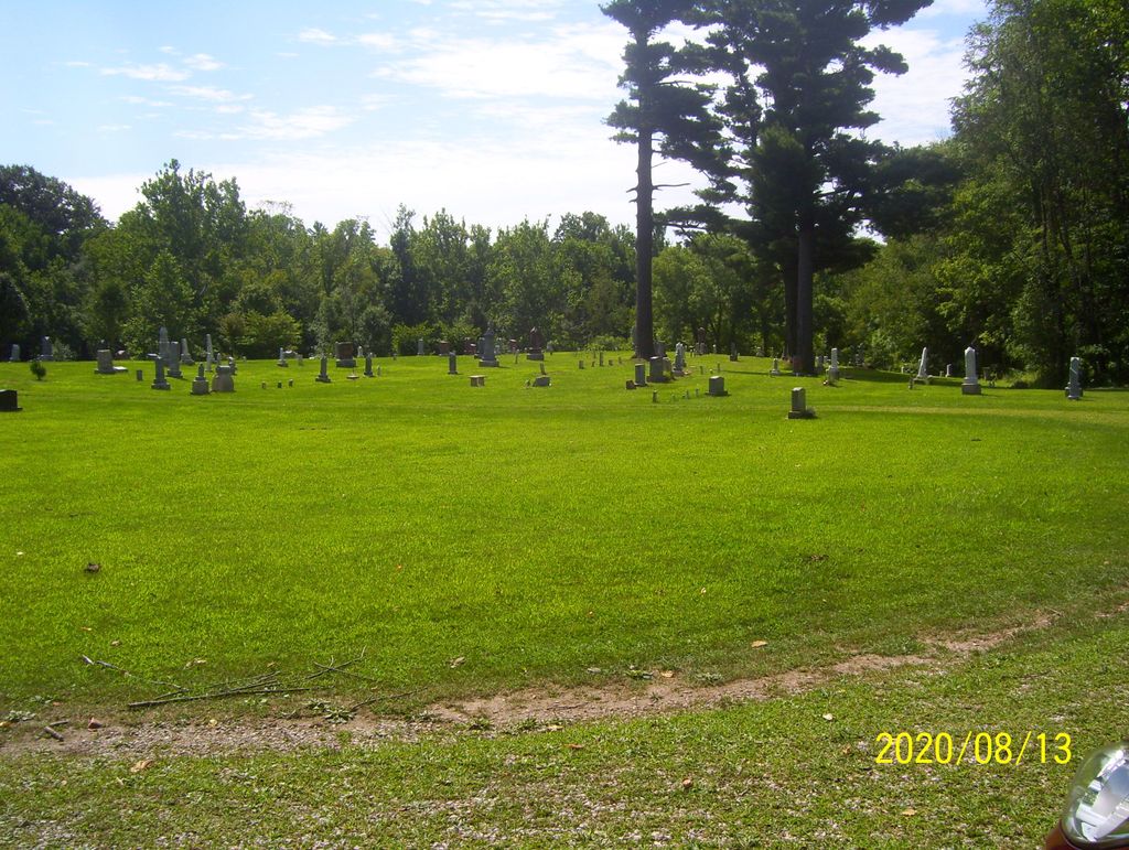
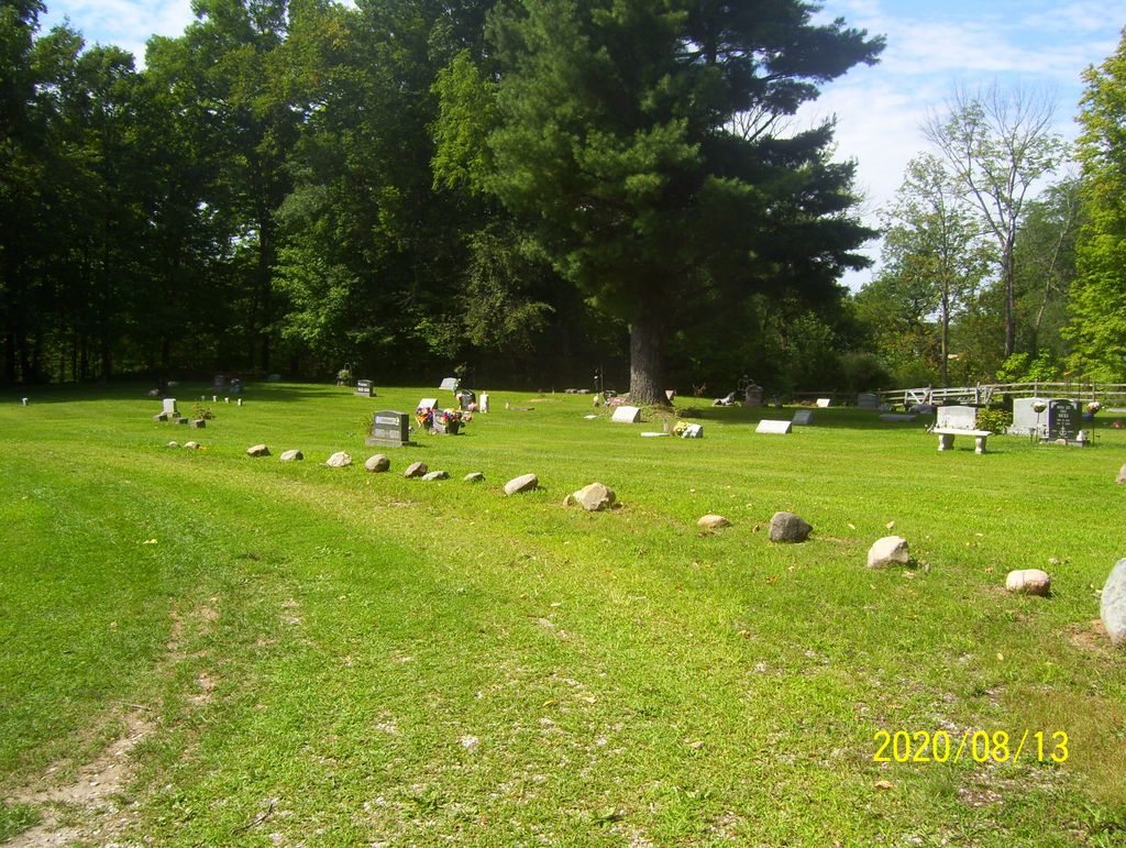
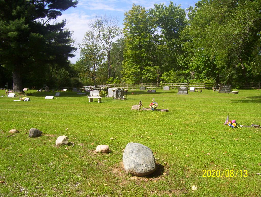
| Description | : | The cemetery is located in Union Township (SE quadrant of the NE quadrant of Section 16 Township 18N Range 2E) on the northwest side of S County Road E about 0.3 miles south of its intersection with County Road 200 S. Indiana Cemetery Locations, Volume 3, published by the Indiana Genealogical Society (April 2007), gives the primary cemetery name as Union Lutheran Cemetery. The cemetery is listed in the Cemetery and Burial Grounds Registry of the Indiana Department of Natural Resources (DNR) and in the State Historical Architectural and Archaeological Research Database (SHAARD) with Cemetery Record Number CR-06-78... Read More |
frequently asked questions (FAQ):
-
Where is Lutheran Cemetery?
Lutheran Cemetery is located at S County Road 900 E Whitestown, Boone County ,Indiana , 46077USA.
-
Lutheran Cemetery cemetery's updated grave count on graveviews.com?
7 memorials
-
Where are the coordinates of the Lutheran Cemetery?
Latitude: 40.0073433
Longitude: -86.2995148
Nearby Cemetories:
1. Hutton Memorial Cemetery
Northfield, Boone County, USA
Coordinate: 39.9986000, -86.2849503
2. Lane Cemetery
Northfield, Boone County, USA
Coordinate: 40.0061798, -86.2796707
3. Eagle Creek Regular Baptist Cemetery
Eagle Village, Boone County, USA
Coordinate: 39.9799538, -86.2736588
4. McCord Cemetery
Whitestown, Boone County, USA
Coordinate: 39.9843200, -86.3319600
5. Mounts Runn Baptist Cemetery
Whitestown, Boone County, USA
Coordinate: 40.0368996, -86.3230972
6. Cox Cemetery
Zionsville, Boone County, USA
Coordinate: 39.9836006, -86.2596970
7. Rosston Cemetery
Rosston, Boone County, USA
Coordinate: 40.0447998, -86.2866974
8. Sedwick Family Cemetery #1
Rosston, Boone County, USA
Coordinate: 40.0489000, -86.2800000
9. Saint Francis of the Fields Episcopal Columbarium
Zionsville, Boone County, USA
Coordinate: 39.9643200, -86.2816300
10. Pitzer Cemetery
Zionsville, Boone County, USA
Coordinate: 39.9636002, -86.3206024
11. Johns Cemetery
Boone County, USA
Coordinate: 40.0520400, -86.2737500
12. Sugar Grove Cemetery
Hamilton County, USA
Coordinate: 40.0155983, -86.2313995
13. Clarkston Cemetery
Zionsville, Boone County, USA
Coordinate: 39.9693985, -86.2508011
14. Schooler Cemetery
Eagle Township, Boone County, USA
Coordinate: 39.9678000, -86.3461000
15. Segwick Family Cemetery #2
Rosston, Boone County, USA
Coordinate: 40.0597000, -86.2839000
16. Wheatley Cemetery
Boone County, USA
Coordinate: 40.0632640, -86.2957030
17. Jones Cemetery
Boone County, USA
Coordinate: 39.9639015, -86.3458023
18. Eagle Creek Cemetery
Westfield, Hamilton County, USA
Coordinate: 40.0130730, -86.2263870
19. Eagle Village Cemetery
Eagle Village, Boone County, USA
Coordinate: 39.9622421, -86.2448502
20. Salem Cemetery
Zionsville, Boone County, USA
Coordinate: 39.9432487, -86.3190613
21. Richardson Cemetery
Boone County, USA
Coordinate: 40.0714684, -86.2612457
22. Zionsville Cemetery
Zionsville, Boone County, USA
Coordinate: 39.9402771, -86.2577744
23. Lincoln Memory Gardens
Whitestown, Boone County, USA
Coordinate: 39.9418983, -86.3525009
24. Sheets Cemetery
Boone County, USA
Coordinate: 39.9317017, -86.2797012