| Memorials | : | 0 |
| Location | : | Villa Rica, Carroll County, USA |
| Phone | : | 770/459-1027 |
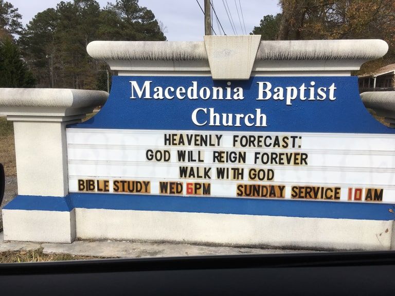
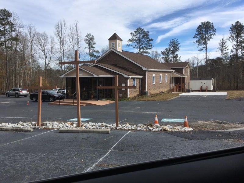
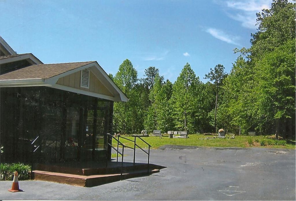
| Description | : | Going toward Paulding county past Tanner Medical Center of Villa Rica, turn right on Macedonia Road. The Baptist church and cemetery are behind several houses near the Dallas Highway. |
frequently asked questions (FAQ):
-
Where is Macedonia Baptist Church Cemetery?
Macedonia Baptist Church Cemetery is located at No GPS information available Add GPS2000 Dallas Highway Villa Rica, Carroll County ,Georgia , 30180USA.
-
Macedonia Baptist Church Cemetery cemetery's updated grave count on graveviews.com?
0 memorials
Nearby Cemetories:
1. Church at Carrollton Cemetery
Abilene, Carroll County, USA
Coordinate: 33.6112090, -85.2017780
2. Chappell Family Cemetery
Carroll County, USA
Coordinate: 33.6506720, -85.2124070
3. Community Bible Church Cemetery
Carroll County, USA
Coordinate: 33.6556380, -85.2048750
4. Craven-Gentry Cemetery
Carroll County, USA
Coordinate: 33.6355700, -85.1865800
5. Crawford
Carroll County, USA
Coordinate: 33.6046982, -84.9214020
6. Cross Plains Baptist Church Cemetery
Cross Plains, Carroll County, USA
Coordinate: 33.6362740, -84.9793450
7. Gilley Cemetery
Cross Plains, Carroll County, USA
Coordinate: 33.6317010, -84.9728320
8. Hinesley Cemetery
Cross Plains, Carroll County, USA
9. Mount Carmel Church Cemetery
Cross Plains, Carroll County, USA
Coordinate: 33.5687180, -84.8654040
10. Wilson Chapel Cemetery
Cross Plains, Carroll County, USA
Coordinate: 33.5708010, -84.8264360
11. Mount Calvary Cemetery
Carroll County, USA
Coordinate: 33.5696390, -84.8545250
12. Entrekin Cemetery
Mount Zion, Carroll County, USA
Coordinate: 33.5668500, -84.8338560
13. Holmes Cemetery
Mount Zion, Carroll County, USA
Coordinate: 33.6112090, -85.2017780
14. McBurnett Cemetery
Mount Zion, Carroll County, USA
Coordinate: 33.6506720, -85.2124070
15. Mincey Cemetery
Mount Zion, Carroll County, USA
Coordinate: 33.6556380, -85.2048750
16. Mount Zion United Methodist Cemetery
Mount Zion, Carroll County, USA
Coordinate: 33.6355700, -85.1865800
17. Bright Star Cemetery
Carroll County, USA
Coordinate: 33.6046982, -84.9214020
18. Brown Cemetery
Sand Hill, Carroll County, USA
Coordinate: 33.6362740, -84.9793450
19. Poplar Springs United Methodist Church Cemetery
Sand Hill, Carroll County, USA
Coordinate: 33.6317010, -84.9728320
20. Burson Family Cemetery
Carroll County, USA
21. Holland Mills Cemetery
Byers Crossroads, Carroll County, USA
Coordinate: 33.5687180, -84.8654040
22. Neal Cemetery
Byers Crossroads, Carroll County, USA
Coordinate: 33.5708010, -84.8264360
23. Richards Cemetery
Byers Crossroads, Carroll County, USA
Coordinate: 33.5696390, -84.8545250
24. Word Cemetery
Byers Crossroads, Carroll County, USA
Coordinate: 33.5668500, -84.8338560


