
| Memorials | : | 1 |
| Location | : | Maple Leaf, Estrie Region, Canada |
| Coordinate | : | 45.3348290, -71.4974690 |
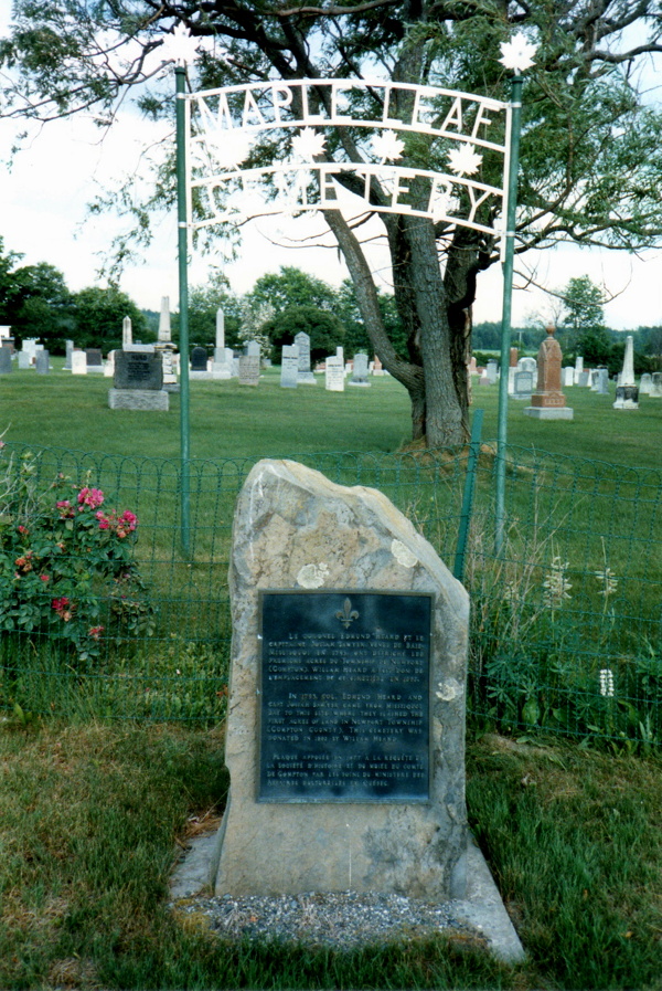
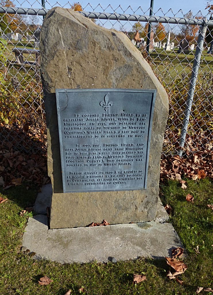
| Description | : | From the town of Sawyerville follow Route 210 East to Randboro. Maple Leaf Cemetery is a few km from Randboro in the area once known as Maple Leaf. It is easily spotted from a distance with its large sign near Chemin Charpentier. This is a quaint, triangular shaped rural cemetery. Almost all stones are legible. It dates from about 1829 and it is still used today. One stone has a death date of 1794 so likely it is the burial ground of other settlers in the early 1800s. |
frequently asked questions (FAQ):
-
Where is Maple Leaf Cemetery?
Maple Leaf Cemetery is located at Route 210 Maple Leaf, Estrie Region ,Quebec ,Canada.
-
Maple Leaf Cemetery cemetery's updated grave count on graveviews.com?
1 memorials
-
Where are the coordinates of the Maple Leaf Cemetery?
Latitude: 45.3348290
Longitude: -71.4974690
Nearby Cemetories:
1. Grove Hill Cemetery
Cookshire-Eaton, Estrie Region, Canada
Coordinate: 45.3446830, -71.5505710
2. Island Brook Cemetery
Cookshire-Eaton, Estrie Region, Canada
Coordinate: 45.3881000, -71.4744800
3. Cimetière Saint-Jacques le Mineur
Cookshire-Eaton, Estrie Region, Canada
Coordinate: 45.3912260, -71.4778960
4. Cimetière Notre-Dame du Saint-Rosaire
Cookshire-Eaton, Estrie Region, Canada
Coordinate: 45.3427900, -71.5808100
5. East Clifton Cemetery
East Clifton, Estrie Region, Canada
Coordinate: 45.2595800, -71.5713100
6. Eaton Cemetery
Eaton, Estrie Region, Canada
Coordinate: 45.3672100, -71.6251500
7. Cookshire Community Cemetery
Cookshire-Eaton, Estrie Region, Canada
Coordinate: 45.4213300, -71.6090700
8. Cimetière Saint-Camille
Cookshire-Eaton, Estrie Region, Canada
Coordinate: 45.4221800, -71.6088700
9. Bury Cemetery
Bury, Estrie Region, Canada
Coordinate: 45.4697100, -71.4971300
10. Cimetière Saint-Raphaël
Bury, Estrie Region, Canada
Coordinate: 45.4731590, -71.5071190
11. St-Thomas Bown Anglican Cemetery
Bury, Estrie Region, Canada
Coordinate: 45.4802800, -71.4184700
12. Cimetière Saint-Martin
Martinville, Estrie Region, Canada
Coordinate: 45.2898500, -71.7188600
13. Martinville Cemetery
Martinville, Estrie Region, Canada
Coordinate: 45.2779700, -71.7138100
14. Cimetière Notre-Dame de la Paix
Cookshire-Eaton, Estrie Region, Canada
Coordinate: 45.3322100, -71.7426300
15. Johnville Cemetery
Cookshire-Eaton, Estrie Region, Canada
Coordinate: 45.3323100, -71.7445000
16. Saint John Cemetery
Brookbury, Estrie Region, Canada
Coordinate: 45.5092400, -71.5454850
17. Cimetière Saint-Pierre
La Patrie, Estrie Region, Canada
Coordinate: 45.4011740, -71.2623790
18. Sand Hill Cemetery
Cookshire-Eaton, Estrie Region, Canada
Coordinate: 45.3717100, -71.7454000
19. Ancien cimetière Draper's Corner
Compton, Estrie Region, Canada
Coordinate: 45.2716830, -71.7724270
20. Cimetière Saint-Louis
East Angus, Estrie Region, Canada
Coordinate: 45.5046560, -71.6596360
21. Grace United Cemetery
Brookbury, Estrie Region, Canada
Coordinate: 45.5397500, -71.5393100
22. Cimetière Saint-Jean-Baptiste
Chartierville, Estrie Region, Canada
Coordinate: 45.2974640, -71.2031700
23. Cimetière Saint-Stanislas
Ascot Corner, Estrie Region, Canada
Coordinate: 45.4507430, -71.7529310
24. Ascot Corner Pioneer Cemetery
Ascot Corner, Estrie Region, Canada
Coordinate: 45.4487080, -71.7588140