
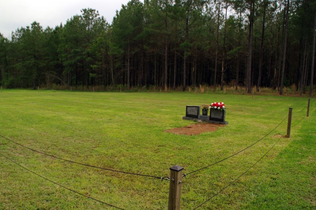
| Memorials | : | 0 |
| Location | : | Covington County, USA |
| Coordinate | : | 31.7896160, -89.4369000 |
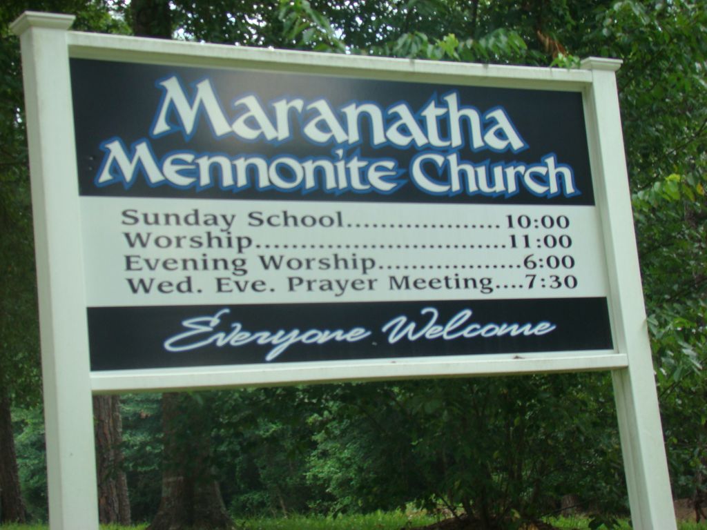
| Description | : | rom Mount Olive Mississippi proceed East on Highway 532 to the intersection of Highway 37 (approximately 13.7 miles) and turn left (North) onto Hwy 37. Proceed approximatel 3.5 miles, Maranatha will be on the left (West) side of Hwy 37, specifically: SE1/4 NE1/4, S31, T10N-R14W, Covington, Taylorsville Quadrangle map, USNG: 16R BA 69266 19702. |
frequently asked questions (FAQ):
-
Where is Maranatha Mennonite Church Cemetery?
Maranatha Mennonite Church Cemetery is located at 15719 Mississippi 37 Covington County ,Mississippi , 39168USA.
-
Maranatha Mennonite Church Cemetery cemetery's updated grave count on graveviews.com?
0 memorials
-
Where are the coordinates of the Maranatha Mennonite Church Cemetery?
Latitude: 31.7896160
Longitude: -89.4369000
Nearby Cemetories:
1. New Hopewell Church Cemetery
Covington County, USA
Coordinate: 31.7681007, -89.4441986
2. Barnes Cemetery
Gilmore, Covington County, USA
Coordinate: 31.7607994, -89.4246979
3. Corleys Cemetery
Gilmore, Covington County, USA
Coordinate: 31.7659760, -89.4706802
4. Fellowship Cemetery
Taylorsville, Smith County, USA
Coordinate: 31.8302500, -89.4507000
5. Okahay Cemetery
Collins, Covington County, USA
Coordinate: 31.7682300, -89.4818100
6. Hinton Cemetery
Taylorsville, Smith County, USA
Coordinate: 31.7908001, -89.3799973
7. Calhoun Baptist Church Cemetery
Collins, Covington County, USA
Coordinate: 31.7406006, -89.4431000
8. Old Miller Cemetery
Taylorsville, Smith County, USA
Coordinate: 31.8005409, -89.5008545
9. Old Palestine Cemetery
Gitano, Jones County, USA
Coordinate: 31.7557250, -89.3804650
10. Lilly Valley Missionary Baptist Church Cemetery
Mount Olive, Covington County, USA
Coordinate: 31.7687740, -89.5074290
11. New Liberty Landmark Baptist Church Cemetery
Smith County, USA
Coordinate: 31.7903500, -89.5116800
12. Summerland Baptist Cemetery
Taylorsville, Smith County, USA
Coordinate: 31.8006001, -89.3630981
13. Center Ridge Cemetery
Jones County, USA
Coordinate: 31.7586002, -89.3694000
14. Union Baptist Church Cemetery
Union (Hot Coffee), Covington County, USA
Coordinate: 31.7386799, -89.4879532
15. Rogers Cemetery
Taylorsville, Smith County, USA
Coordinate: 31.8477100, -89.3962100
16. Leaf River Missionary Baptist Church Cemetery
Taylorsville, Smith County, USA
Coordinate: 31.8463430, -89.3923780
17. Cherry Grove M.B. Church Cemetery
Taylorsville, Smith County, USA
Coordinate: 31.8465300, -89.3916100
18. Oak Grove Missionary Baptist Church Cemetery
Jones County, USA
Coordinate: 31.7290980, -89.3939390
19. John Jackie Knight Cemetery
Jones County, USA
Coordinate: 31.7267000, -89.3979000
20. Old Hopewell Cemetery
Hopewell, Covington County, USA
Coordinate: 31.7199993, -89.4708023
21. James E. Terrell Cemetery
Covington County, USA
Coordinate: 31.7188225, -89.4703369
22. Mount Olive Cemetery
Jones County, USA
Coordinate: 31.7227993, -89.3914032
23. Hopewell Baptist Church Cemetery
Hopewell, Covington County, USA
Coordinate: 31.7161340, -89.4690800
24. Pine Valley Cemetery
Taylorsville, Smith County, USA
Coordinate: 31.8108900, -89.3470500