
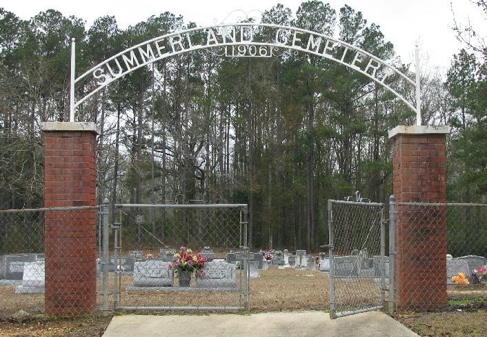
| Memorials | : | 1 |
| Location | : | Taylorsville, Smith County, USA |
| Coordinate | : | 31.8006001, -89.3630981 |
| Description | : | From Taylorsville, MS proceed East on Mississippi Highway 28 (MS 28 aka Comfort Street) 4.3 miles to the intersection of Smith County Road 28-4 (SCR 28-4 aka Johnston Road.) Turn Right (South) onto SCR 28-4 and proceed one tenth of a mile the curch parking lot. Turn right into the parking lot and continue approximately 500 feet. Cemetery will be directly in fron, West of the church buildings, specifically SE1/4 SW1/4, S29, T10N-R16W, Smith, Soso Quadrangle map USNG 16R BA 76279 20771. |
frequently asked questions (FAQ):
-
Where is Summerland Baptist Cemetery?
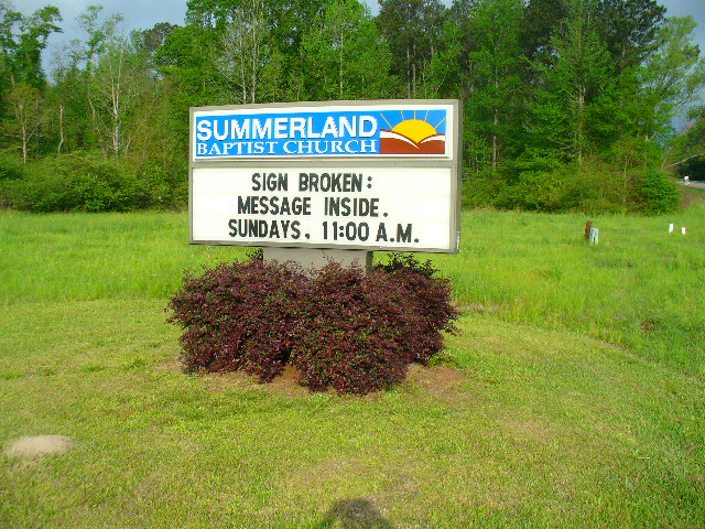
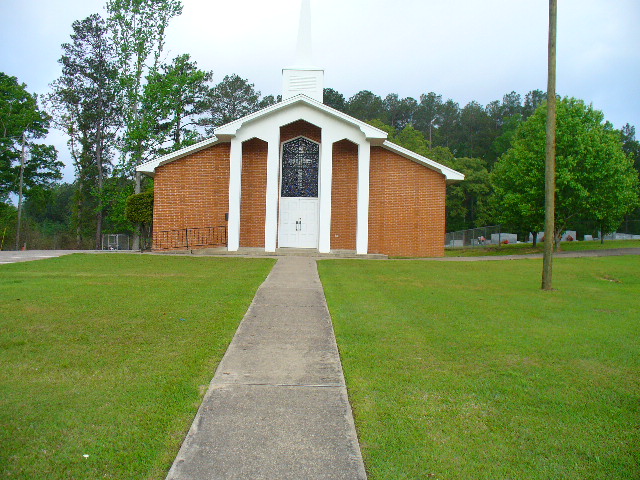
Summerland Baptist Cemetery is located at 88 Smith County Road 28-4 Taylorsville, Smith County ,Mississippi , 39168USA.
-
Summerland Baptist Cemetery cemetery's updated grave count on graveviews.com?
1 memorials
-
Where are the coordinates of the Summerland Baptist Cemetery?
Latitude: 31.8006001
Longitude: -89.3630981
Nearby Cemetories:
1. Pine Valley Cemetery
Taylorsville, Smith County, USA
Coordinate: 31.8108900, -89.3470500
2. Hinton Cemetery
Taylorsville, Smith County, USA
Coordinate: 31.7908001, -89.3799973
3. Knights Mill Cemetery
Jones County, USA
Coordinate: 31.7838993, -89.3268967
4. Old Bay Springs Church
Smith County, USA
Coordinate: 31.8426970, -89.3600240
5. Center Ridge Cemetery
Jones County, USA
Coordinate: 31.7586002, -89.3694000
6. Coats Cemetery
Gitano, Jones County, USA
Coordinate: 31.7741500, -89.3241700
7. New Palestine Cemetery
Soso, Jones County, USA
Coordinate: 31.7695710, -89.3288290
8. Old Palestine Cemetery
Gitano, Jones County, USA
Coordinate: 31.7557250, -89.3804650
9. Old Antioch Cemetery
Gitano, Jones County, USA
Coordinate: 31.7743700, -89.3163100
10. Cherry Grove M.B. Church Cemetery
Taylorsville, Smith County, USA
Coordinate: 31.8465300, -89.3916100
11. Leaf River Missionary Baptist Church Cemetery
Taylorsville, Smith County, USA
Coordinate: 31.8463430, -89.3923780
12. Rogers Cemetery
Taylorsville, Smith County, USA
Coordinate: 31.8477100, -89.3962100
13. Edon Cemetery
Jasper County, USA
Coordinate: 31.8438400, -89.3121700
14. Maranatha Mennonite Church Cemetery
Covington County, USA
Coordinate: 31.7896160, -89.4369000
15. Harper Cemetery
Jones County, USA
Coordinate: 31.7425003, -89.3285980
16. Barnes Cemetery
Gilmore, Covington County, USA
Coordinate: 31.7607994, -89.4246979
17. Clear Creek Baptist Church Cemetery
Taylorsville, Smith County, USA
Coordinate: 31.8659200, -89.3816200
18. Knight Cemetery
Jasper County, USA
Coordinate: 31.8080997, -89.2802963
19. Mount Williams Missionary Baptist Church Cemetery
Hebron, Jones County, USA
Coordinate: 31.7326180, -89.3388410
20. Knight Cemetery
Jasper County, USA
Coordinate: 31.8218994, -89.2802963
21. Oak Grove Missionary Baptist Church Cemetery
Jones County, USA
Coordinate: 31.7290980, -89.3939390
22. New Hopewell Church Cemetery
Covington County, USA
Coordinate: 31.7681007, -89.4441986
23. M.T.P. and S.D.A. Cemetery
Soso, Jones County, USA
Coordinate: 31.7692900, -89.2810800
24. John Jackie Knight Cemetery
Jones County, USA
Coordinate: 31.7267000, -89.3979000