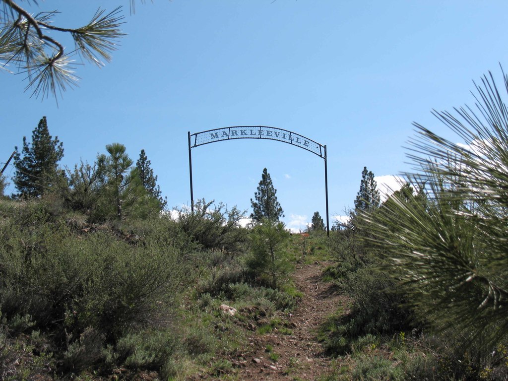
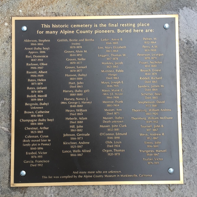
| Memorials | : | 1 |
| Location | : | Markleeville, Alpine County, USA |
| Coordinate | : | 38.6923520, -119.7771870 |
| Description | : | When I was at Markleeville in 1999 or 2000, I was informed by someone at the Museum that admittance to the cemetery was prohibited. By California law, this is public cemetery in accordance with an 1872 statute that continues forth in the present version of the Health and Safety Code. I sent informaton to the Museum director back then to help them understand that this is their PUBLIC cemetery. I have since located the Federal Townsite Patent for the town of Markleville issued to Superior Court Judge Lester T. Price on April 21, 1910, in trust for the citizens of the... Read More |
frequently asked questions (FAQ):
-
Where is Markleeville Cemetery?
Markleeville Cemetery is located at Markleeville, Alpine County ,California ,USA.
-
Markleeville Cemetery cemetery's updated grave count on graveviews.com?
1 memorials
-
Where are the coordinates of the Markleeville Cemetery?
Latitude: 38.6923520
Longitude: -119.7771870
Nearby Cemetories:
1. Silver Mountain Cemetery
Markleeville, Alpine County, USA
Coordinate: 38.6172050, -119.7522590
2. Woodfords Washoe Indian Cemetery
Woodfords, Alpine County, USA
Coordinate: 38.7688570, -119.8190720
3. Old Woodfords Cemetery
Alpine County, USA
Coordinate: 38.7762710, -119.8255320
4. Fredericksburg Cemetery
Frederickburg, Alpine County, USA
Coordinate: 38.8275986, -119.7866974
5. Washoe Cemetery
Gardnerville, Douglas County, USA
Coordinate: 38.8699900, -119.7455400
6. Happy Hunting Grounds Cemetery
Gardnerville, Douglas County, USA
Coordinate: 38.8657000, -119.6524000
7. Clara Holbrook Frank Family Cemetery
Gardnerville, Douglas County, USA
Coordinate: 38.8904900, -119.6936600
8. Antelope Valley Cemetery
Coleville, Mono County, USA
Coordinate: 38.5782318, -119.5105515
9. Mottsville Cemetery
Douglas County, USA
Coordinate: 38.9319000, -119.8383026
10. Gardnerville Cemetery
Gardnerville, Douglas County, USA
Coordinate: 38.9463997, -119.7592010
11. Captain George Donner Cemetery
Kingsbury, Douglas County, USA
Coordinate: 38.9542007, -119.8394012
12. Eastside Memorial Park
Minden, Douglas County, USA
Coordinate: 38.9623985, -119.7320023
13. McMichael Family Cemetery
Douglas County, USA
Coordinate: 38.7380900, -119.4315700
14. Happy Homestead Cemetery
South Lake Tahoe, El Dorado County, USA
Coordinate: 38.9371986, -119.9681015
15. Johnson-Springmeyer Cemetery
South Lake Tahoe, El Dorado County, USA
Coordinate: 38.9376580, -119.9681600
16. Tragedy Spring Cemetery
El Dorado County, USA
Coordinate: 38.6396300, -120.1485500
17. Al Tahoe Cemetery
South Lake Tahoe, El Dorado County, USA
Coordinate: 38.9411011, -119.9875565
18. Maidens Grave
Amador County, USA
Coordinate: 38.6316986, -120.1699982
19. Everett Family Cemetery
Wellington, Lyon County, USA
Coordinate: 38.7844880, -119.3903490
20. Knott Family Graveyard
Genoa, Douglas County, USA
Coordinate: 39.0069900, -119.8452400
21. Genoa Cemetery
Genoa, Douglas County, USA
Coordinate: 39.0116997, -119.8431015
22. Saint Marys Episcopal Church Cemetery
Nixon, Washoe County, USA
Coordinate: 38.8329910, -119.3573040
23. Hillcrest Cemetery
Smith, Lyon County, USA
Coordinate: 38.7867012, -119.3343964
24. Valley Grove Cemetery
Smith, Lyon County, USA
Coordinate: 38.8020510, -119.3383030


