
| Memorials | : | 2 |
| Location | : | Larue, Benton County, USA |
| Coordinate | : | 36.3465500, -93.9484700 |
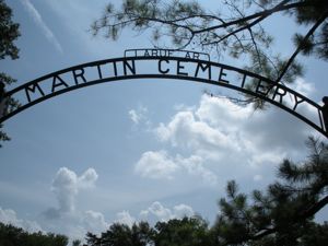
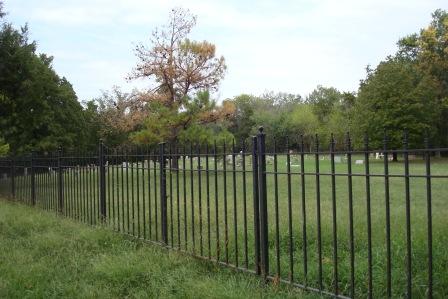
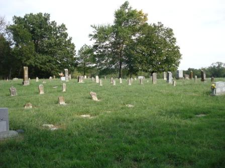
| Description | : | From Rogers, Arkansas, go East on State Highway 12 for 10.8 miles. Turn left (north) on Highway 303 and go 4 miles. This will take you to an arm of land surrounded by water (Beaver Lake). Martin Cemetery will be on the right side of 303 and is a large cemetery surrounded by a nice metal fence. |
frequently asked questions (FAQ):
-
Where is Martin Cemetery?
Martin Cemetery is located at Larue, Benton County ,Arkansas ,USA.
-
Martin Cemetery cemetery's updated grave count on graveviews.com?
1 memorials
-
Where are the coordinates of the Martin Cemetery?
Latitude: 36.3465500
Longitude: -93.9484700
Nearby Cemetories:
1. Webb Cemetery (Defunct)
Benton County, USA
Coordinate: 36.3544006, -93.9356003
2. Carter Cemetery (Defunct)
Benton County, USA
Coordinate: 36.3325005, -93.9072037
3. Hatfield Cemetery
Benton County, USA
Coordinate: 36.3244019, -93.9128036
4. Alpine Cemetery (Defunct)
Benton County, USA
Coordinate: 36.3558006, -93.9944000
5. Henson Cemetery (Defunct)
Benton County, USA
Coordinate: 36.3386002, -93.8917007
6. Blaylock Cemetery
Avoca, Benton County, USA
Coordinate: 36.3938700, -93.9799100
7. Ingersoll Cemetery (Defunct)
Benton County, USA
Coordinate: 36.3278008, -94.0119019
8. McReynolds Cemetery (Defunct)
Benton County, USA
Coordinate: 36.3156013, -94.0139008
9. Ozark Cemetery
Benton County, USA
Coordinate: 36.3231010, -94.0252991
10. Walnut Hill Cemetery
Brightwater, Benton County, USA
Coordinate: 36.4082985, -93.9907990
11. Key Cemetery (Defunct)
Benton County, USA
Coordinate: 36.2997017, -94.0192032
12. Rambo Cemetery
Rogers, Benton County, USA
Coordinate: 36.3027992, -93.8741989
13. Williams Cemetery (Defunct)
Prairie Creek, Benton County, USA
Coordinate: 36.3507996, -94.0436020
14. War Eagle Cemetery
Rogers, Benton County, USA
Coordinate: 36.2689018, -93.9522018
15. Williams Cemetery
Benton County, USA
Coordinate: 36.4164009, -94.0002975
16. Snoderly Cemetery
Brightwater, Benton County, USA
Coordinate: 36.4171982, -94.0010986
17. Ruddick Cemetery
Garfield, Benton County, USA
Coordinate: 36.4295000, -93.9512400
18. Union Chapel Cemetery
Garfield, Benton County, USA
Coordinate: 36.4304180, -93.9525340
19. Dean Cemetery
Benton County, USA
Coordinate: 36.4188995, -94.0211029
20. Rock Church Cemetery
War Eagle, Benton County, USA
Coordinate: 36.2750000, -93.8717000
21. Rock Cemetery
Benton County, USA
Coordinate: 36.2743988, -93.8716965
22. Liberty Cemetery
Garfield, Benton County, USA
Coordinate: 36.4389000, -94.0105972
23. Eden Bluff Cemetery
War Eagle, Benton County, USA
Coordinate: 36.2428460, -93.9217150
24. Austin Cemetery
Beacon Addition, Benton County, USA
Coordinate: 36.2379000, -93.9096000