
| Memorials | : | 182 |
| Location | : | Moultonborough, Carroll County, USA |
| Coordinate | : | 43.7574500, -71.4184000 |
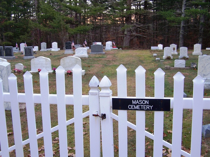
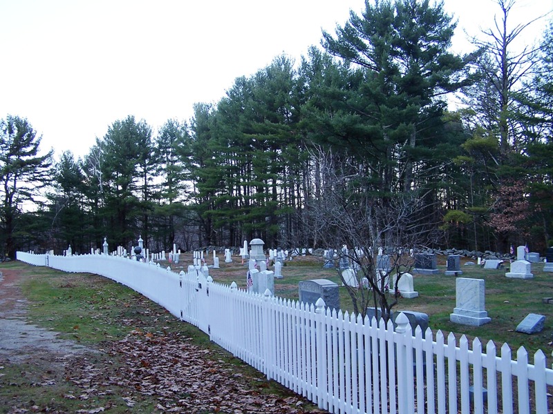
| Description | : | There is no street number assigned and the road is too sparsely settled to figure out an approximate street number. The cemetery is right next to the road and about 3 miles from Route 25 so it is easy to find once you are on Sheridan Road. |
frequently asked questions (FAQ):
-
Where is Mason Cemetery?
Mason Cemetery is located at Sheridan Rd Moultonborough, Carroll County ,New Hampshire , 03254USA.
-
Mason Cemetery cemetery's updated grave count on graveviews.com?
168 memorials
-
Where are the coordinates of the Mason Cemetery?
Latitude: 43.7574500
Longitude: -71.4184000
Nearby Cemetories:
1. Freese Cemetery
Moultonborough, Carroll County, USA
Coordinate: 43.7616670, -71.4008330
2. Holland Hill Cemetery
Moultonborough, Carroll County, USA
Coordinate: 43.7620300, -71.3995400
3. Rollins Cemetery
Moultonborough, Carroll County, USA
Coordinate: 43.7430420, -71.4106610
4. Haines Cemetery
Union, Carroll County, USA
Coordinate: 43.7734000, -71.4331000
5. Moulton-Beede Cemetery
Sandwich, Carroll County, USA
Coordinate: 43.7774000, -71.4276000
6. Smith-Morse Cemetery
Sandwich, Carroll County, USA
Coordinate: 43.7768000, -71.4301000
7. Clement Cemetery
Moultonborough, Carroll County, USA
Coordinate: 43.7586110, -71.3827780
8. Brown Cemetery
Moultonborough, Carroll County, USA
Coordinate: 43.7476220, -71.3815960
9. Lee Cemetery
Moultonborough, Carroll County, USA
Coordinate: 43.7472230, -71.3812320
10. Mason Cemetery
Center Sandwich, Carroll County, USA
Coordinate: 43.7858000, -71.4258000
11. Cook Family Cemetery
Moultonborough, Carroll County, USA
Coordinate: 43.7435585, -71.4621048
12. Gordon Cemetery
Moultonborough, Carroll County, USA
Coordinate: 43.7545880, -71.3704780
13. Richard Fry Cemetery
Sandwich, Carroll County, USA
Coordinate: 43.7822817, -71.3830099
14. Littles Pond Cemetery
Sandwich, Carroll County, USA
Coordinate: 43.7915600, -71.4034200
15. Rogers Cemetery
Moultonborough, Carroll County, USA
Coordinate: 43.7707400, -71.3693100
16. Nathanial Fry Family Plot
Sandwich, Carroll County, USA
Coordinate: 43.7875872, -71.3844592
17. Moulton Cemetery
Moultonborough, Carroll County, USA
Coordinate: 43.7505560, -71.3641670
18. Paine-Chase Cemetery
Moultonborough, Carroll County, USA
Coordinate: 43.7617000, -71.3635000
19. Chase Cemetery
Moultonborough, Carroll County, USA
Coordinate: 43.7618000, -71.3635000
20. Cemetery of the Religious Society of Friends
Sandwich, Carroll County, USA
Coordinate: 43.7994400, -71.4266700
21. Beede Cemetery
Sandwich, Carroll County, USA
Coordinate: 43.8013890, -71.4166670
22. Mears-Nelson Cemetery
Sandwich, Carroll County, USA
Coordinate: 43.7932790, -71.3820560
23. Shaw Cemetery
Moultonborough, Carroll County, USA
Coordinate: 43.7420000, -71.3556000
24. Hubbard Cemetery
Center Sandwich, Carroll County, USA
Coordinate: 43.7855988, -71.3628006