
| Memorials | : | 3 |
| Location | : | Folsomdale, Graves County, USA |
| Coordinate | : | 36.9204722, -88.6983060 |
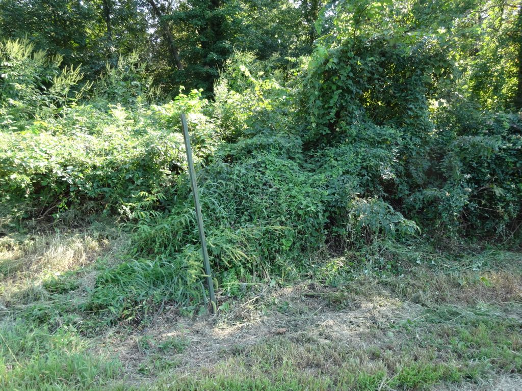
| Description | : | Located 1 mile off old 45 highway on Melber & Folsomdale Road. Turn Right 200 yards on a gravel road, south side in a woods. Refer to the GPS map attached for improved location for this day and time of 2015. Appears to be in wooded corner of Hwy 2192 and Hershel Road. Cemetery transcribed by Beverly Cash Gourley and Jeff Gourley on March 17, 1983. Graves County Cemeteries Vol. 4 pg. 68 and Cemetery Coordinates ~~~~~~~~~~~ CEMETERY PHOTO INFORMATION Added by: Bradford W Blaine 10/14/2015: This photo was taken in September of 2013, the Mason-Fristoe Cemetery marker is missing from the pole. Although not visible, cemetery... Read More |
frequently asked questions (FAQ):
-
Where is Mason Fristoe Family Cemetery?
Mason Fristoe Family Cemetery is located at Lies between Melber and Folsomdale Folsomdale, Graves County ,Kentucky ,USA.
-
Mason Fristoe Family Cemetery cemetery's updated grave count on graveviews.com?
3 memorials
-
Where are the coordinates of the Mason Fristoe Family Cemetery?
Latitude: 36.9204722
Longitude: -88.6983060
Nearby Cemetories:
1. Nall Cemetery
Folsomdale, Graves County, USA
Coordinate: 36.9109170, -88.6733330
2. Hocker-Russell Cemetery
Graves County, USA
Coordinate: 36.8934444, -88.7064440
3. Kansas Cemetery
Kansas, Graves County, USA
Coordinate: 36.9037220, -88.7284720
4. Liberty Cemetery
Folsomdale, Graves County, USA
Coordinate: 36.8917007, -88.6838989
5. Allcock Cemetery
Mayfield, Graves County, USA
Coordinate: 36.9233017, -88.7399979
6. Colliers Cemetery
Saint Johns, McCracken County, USA
Coordinate: 36.9536300, -88.6789920
7. Heard Cemetery
Graves County, USA
Coordinate: 36.9122009, -88.7474976
8. Straub Cemetery
McCracken County, USA
Coordinate: 36.9432983, -88.6539001
9. McNeill Cemetery
Graves County, USA
Coordinate: 36.9139470, -88.6457220
10. Woodlawn Memorial Gardens
Paducah, McCracken County, USA
Coordinate: 36.9585991, -88.6744003
11. McNeil Cemetery
McCracken County, USA
Coordinate: 36.9136009, -88.6453018
12. Purchase Cemetery
Saint Johns, McCracken County, USA
Coordinate: 36.9639015, -88.6896973
13. New Concord Baptist Church Cemetery
Melber, Graves County, USA
Coordinate: 36.9312700, -88.7553900
14. Armistead Cemetery
Graves County, USA
Coordinate: 36.8903008, -88.7433014
15. Johnson Cemetery
McCracken County, USA
Coordinate: 36.9618988, -88.6624985
16. Saint John Catholic Church Cemetery
Saint Johns, McCracken County, USA
Coordinate: 36.9666090, -88.6721560
17. Dunaway Cemetery
McCracken County, USA
Coordinate: 36.9622002, -88.6521988
18. Haynes Cemetery
McCracken County, USA
Coordinate: 36.9702988, -88.7307968
19. Houser Grove Church of Christ Cemetery
Paducah, McCracken County, USA
Coordinate: 36.9567833, -88.6445618
20. Paschall Cemetery
Lowes, Graves County, USA
Coordinate: 36.8747300, -88.7462200
21. Johnson Cemetery
Boaz, Graves County, USA
Coordinate: 36.8993988, -88.6283035
22. Hunt Cemetery
McCracken County, USA
Coordinate: 36.9817009, -88.7121964
23. Futrell Cemetery
Paducah, McCracken County, USA
Coordinate: 36.9816440, -88.7145150
24. Gore Cemetery
Saint Johns, McCracken County, USA
Coordinate: 36.9479710, -88.6274400