
| Memorials | : | 0 |
| Location | : | Twin Falls County, USA |
| Coordinate | : | 42.3992000, -114.3715000 |
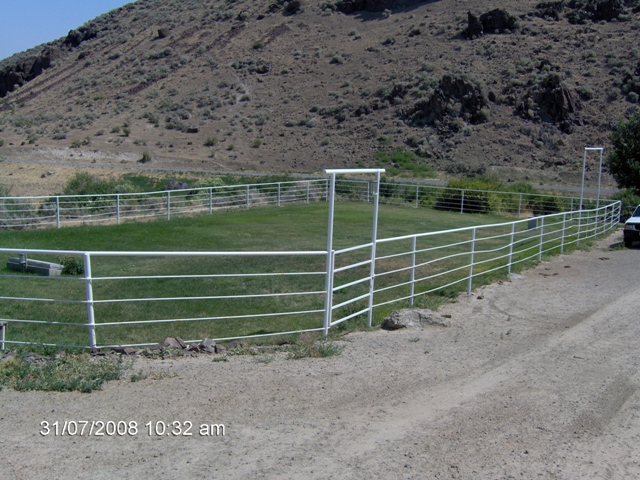
| Description | : | Cemetery lays on McMullen Creek. The land is owned by the Mathers Ranch. It is beautiful and well kept.It lies in the foot hills surrounded by sage brush. It is on private land, fenced and locked. If you request photos or information contact Mathers. |
frequently asked questions (FAQ):
-
Where is Mathers Family Cemetery?
Mathers Family Cemetery is located at Twin Falls County ,Idaho ,USA.
-
Mathers Family Cemetery cemetery's updated grave count on graveviews.com?
0 memorials
-
Where are the coordinates of the Mathers Family Cemetery?
Latitude: 42.3992000
Longitude: -114.3715000
Nearby Cemetories:
1. Rock Creek Stage Station Cemetery
Twin Falls, Twin Falls County, USA
Coordinate: 42.4598500, -114.3284000
2. Magic Valley Veterans Memorial Cemetery
Hansen, Twin Falls County, USA
Coordinate: 42.4590000, -114.3047000
3. Rock Creek Cemetery
Rock Creek, Twin Falls County, USA
Coordinate: 42.4597500, -114.3037500
4. Bower Cemetery
Cassia County, USA
Coordinate: 42.4057999, -114.1774979
5. Sunset Memorial Park Cemetery
Twin Falls, Twin Falls County, USA
Coordinate: 42.5470000, -114.4380000
6. Twin Falls Cemetery
Twin Falls, Twin Falls County, USA
Coordinate: 42.5499992, -114.4360962
7. Artesian City Cemetery
Twin Falls County, USA
Coordinate: 42.4205000, -114.1564000
8. Ascension Episcopal Church Cemetery
Twin Falls, Twin Falls County, USA
Coordinate: 42.5680000, -114.4418000
9. Trinity Lutheran Church Cemetery
Eden, Jerome County, USA
Coordinate: 42.5633000, -114.2103000
10. Ira Burton Perrine Cemetery
Perrine, Jerome County, USA
Coordinate: 42.6082500, -114.4754000
11. Filer Cemetery
Filer, Twin Falls County, USA
Coordinate: 42.5778008, -114.5847015
12. Rogerson Cemetery
Rogerson, Twin Falls County, USA
Coordinate: 42.2081670, -114.5940300
13. Warm Creek Cemetery
Cassia County, USA
Coordinate: 42.3359000, -114.0357000
14. Clover Lutheran Cemetery
Clover, Twin Falls County, USA
Coordinate: 42.5133000, -114.6893000
15. Hazelton Cemetery
Hazelton, Jerome County, USA
Coordinate: 42.5990000, -114.1290000
16. Valley View Mennonite Church Cemetery
Twin Falls County, USA
Coordinate: 42.5670000, -114.6745000
17. Milner Cemetery
Cassia County, USA
Coordinate: 42.5186000, -114.0104000
18. Barbara Ann Morgan Gravesite
Twin Falls County, USA
Coordinate: 42.5768970, -114.7119550
19. Monastery of the Ascension Cemetery
Jerome, Jerome County, USA
Coordinate: 42.7067000, -114.4162000
20. Jerome Cemetery
Jerome, Jerome County, USA
Coordinate: 42.7141400, -114.5299500
21. West End Cemetery
Buhl, Twin Falls County, USA
Coordinate: 42.6008380, -114.7366730
22. Marion Cemetery
Marion, Cassia County, USA
Coordinate: 42.2806015, -113.9297028
23. Snake River Canyon National Cemetery
Buhl, Twin Falls County, USA
Coordinate: 42.6016979, -114.7586136
24. Island Cemetery
Oakley, Cassia County, USA
Coordinate: 42.3164000, -113.8994000