
| Memorials | : | 6 |
| Location | : | Buhl, Twin Falls County, USA |
| Phone | : | 208-732-7499 |
| Website | : | http//www.cem.va.gov |
| Coordinate | : | 42.6016979, -114.7586136 |
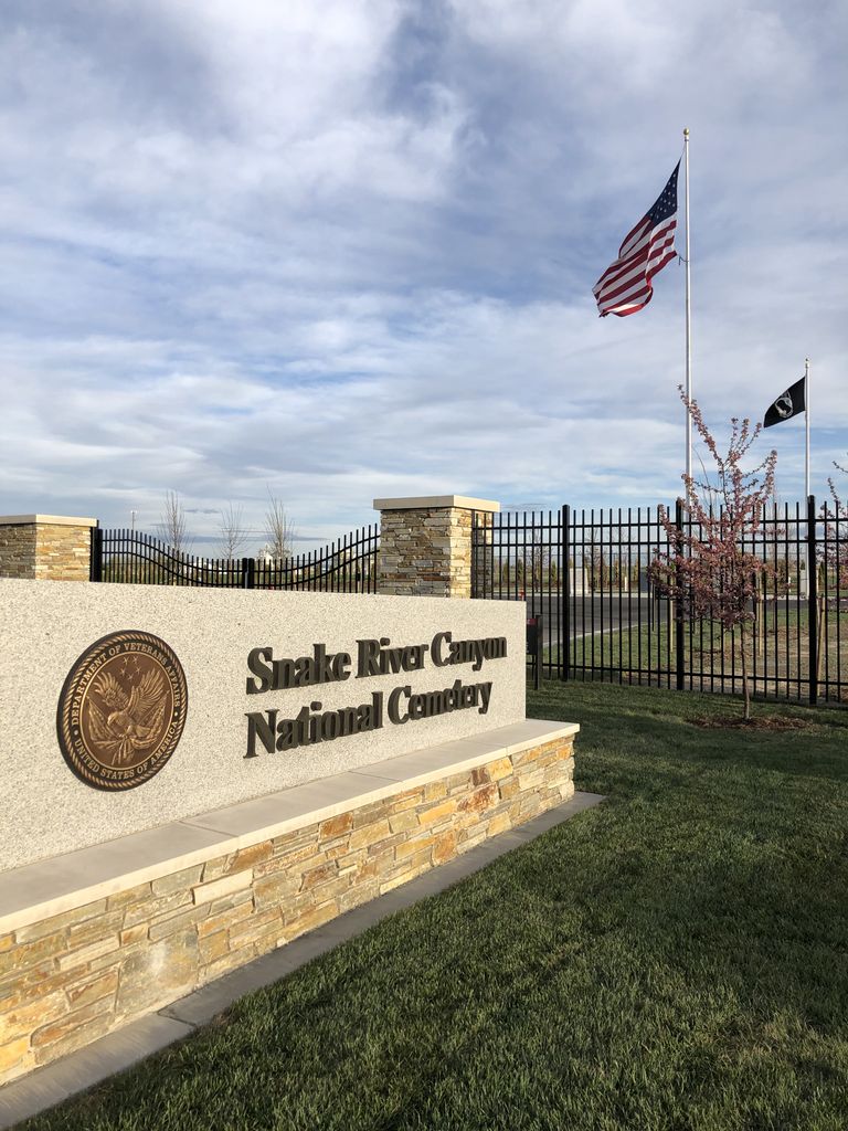
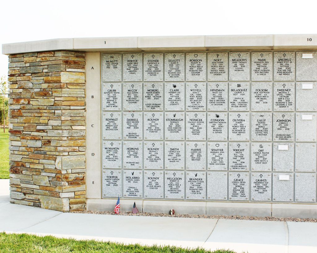
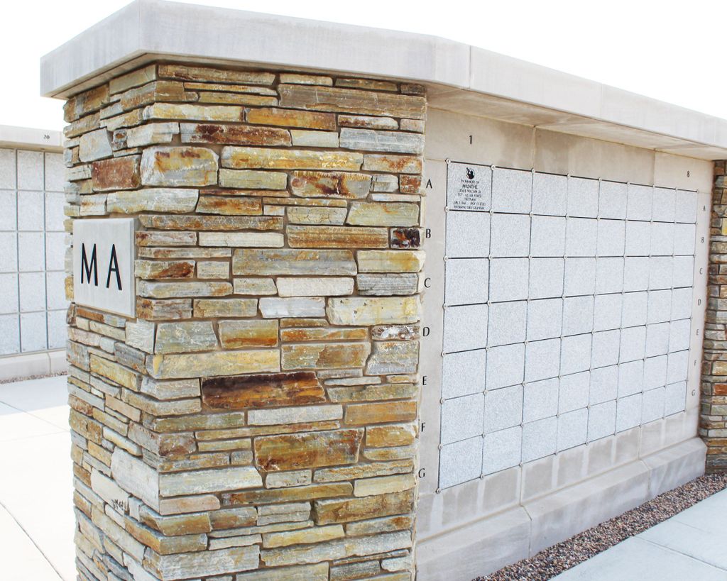
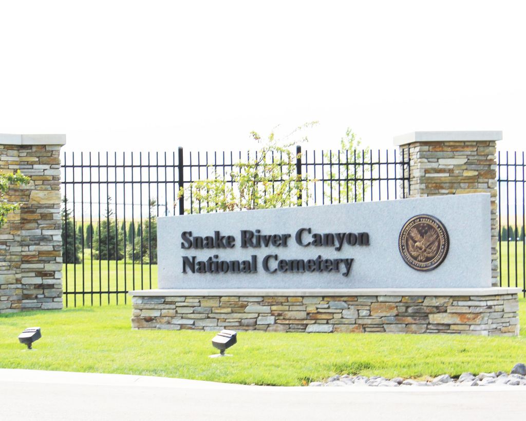
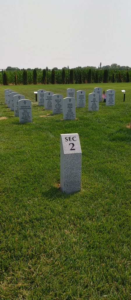
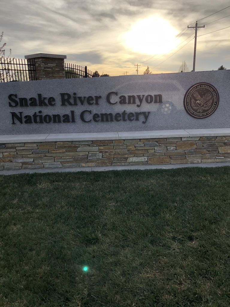
| Description | : | Snake River Canyon National Cemetery is a new 8-acre Department of Veteran Affairs (VA) national cemetery. It will serve the burial needs of more than 15,000 Veterans, their spouses and eligible children within a 75-mile radius of Twin Falls County. It is the first national cemetery built in Idaho. Phase I will offer more than 900 casket and cremation spaces to accommodate burials for the next ten years. The cemetery will provide casket burials, in-ground cremation burials, columbarium niches for cremation burials and a memorial wall. Cemetery gates are open daily, from 7:00 a.m. to 6:00 p.m. ... Read More |
frequently asked questions (FAQ):
-
Where is Snake River Canyon National Cemetery?
Snake River Canyon National Cemetery is located at 1585 East Elm St. Buhl, Twin Falls County ,Idaho , 83316USA.
-
Snake River Canyon National Cemetery cemetery's updated grave count on graveviews.com?
6 memorials
-
Where are the coordinates of the Snake River Canyon National Cemetery?
Latitude: 42.6016979
Longitude: -114.7586136
Nearby Cemetories:
1. West End Cemetery
Buhl, Twin Falls County, USA
Coordinate: 42.6008380, -114.7366730
2. Barbara Ann Morgan Gravesite
Twin Falls County, USA
Coordinate: 42.5768970, -114.7119550
3. Church of God in Christ Mennonite Cemetery
Buhl, Twin Falls County, USA
Coordinate: 42.5942000, -114.8307000
4. Valley View Mennonite Church Cemetery
Twin Falls County, USA
Coordinate: 42.5670000, -114.6745000
5. Clover Lutheran Cemetery
Clover, Twin Falls County, USA
Coordinate: 42.5133000, -114.6893000
6. Filer Cemetery
Filer, Twin Falls County, USA
Coordinate: 42.5778008, -114.5847015
7. Wendell Cemetery
Wendell, Gooding County, USA
Coordinate: 42.7734160, -114.7111700
8. Jerome Cemetery
Jerome, Jerome County, USA
Coordinate: 42.7141400, -114.5299500
9. Ira Burton Perrine Cemetery
Perrine, Jerome County, USA
Coordinate: 42.6082500, -114.4754000
10. Ascension Episcopal Church Cemetery
Twin Falls, Twin Falls County, USA
Coordinate: 42.5680000, -114.4418000
11. Hagerman Cemetery
Hagerman, Gooding County, USA
Coordinate: 42.8230500, -114.8902810
12. Sunset Memorial Park Cemetery
Twin Falls, Twin Falls County, USA
Coordinate: 42.5470000, -114.4380000
13. Twin Falls Cemetery
Twin Falls, Twin Falls County, USA
Coordinate: 42.5499992, -114.4360962
14. Hagerman Pioneer Cemetery
Hagerman, Gooding County, USA
Coordinate: 42.8298000, -114.9040000
15. Grassy Hill Cemetery
Twin Falls County, USA
Coordinate: 42.3575400, -114.9203200
16. Monastery of the Ascension Cemetery
Jerome, Jerome County, USA
Coordinate: 42.7067000, -114.4162000
17. Elmwood Cemetery
Gooding, Gooding County, USA
Coordinate: 42.9308014, -114.7011032
18. Pioneer Cemetery
Gooding, Gooding County, USA
Coordinate: 42.9324989, -114.6931000
19. Bliss Family Cemetery
Bliss, Gooding County, USA
Coordinate: 42.9084900, -114.9497800
20. Rock Creek Stage Station Cemetery
Twin Falls, Twin Falls County, USA
Coordinate: 42.4598500, -114.3284000
21. Pioneer Cemetery
Bliss, Gooding County, USA
Coordinate: 42.9227982, -114.9443970
22. Mathers Family Cemetery
Twin Falls County, USA
Coordinate: 42.3992000, -114.3715000
23. Magic Valley Veterans Memorial Cemetery
Hansen, Twin Falls County, USA
Coordinate: 42.4590000, -114.3047000
24. Rock Creek Cemetery
Rock Creek, Twin Falls County, USA
Coordinate: 42.4597500, -114.3037500